Changing seasons
Travelling through northern British Colombia in early May means experiencing – and enjoying! – the last gasps of winter losing their grip to the first grasps of summer. This fascinating transition period of the seasons, something we definitely don’t get in Sydney, is a wonder to watch. We have had beautiful warm blue sunny days so far in BC which has hastened the change of seasons but what will happen as we travel further north?
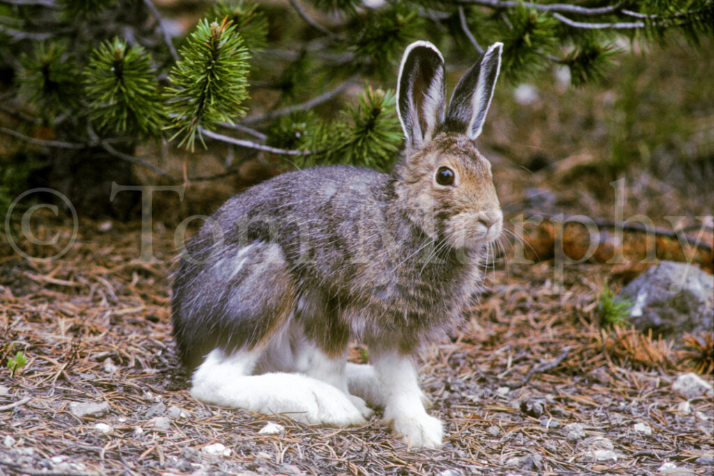
Example One of this change in seasons was when we woke up amongst the young pines, stubborn patches of snow all around us, and two snowshoe hares were hopping about nearby. These hares were in the process of morphing from their white winter coats to a more brown summer coat. Ah yes, the change in seasons affects everyone.
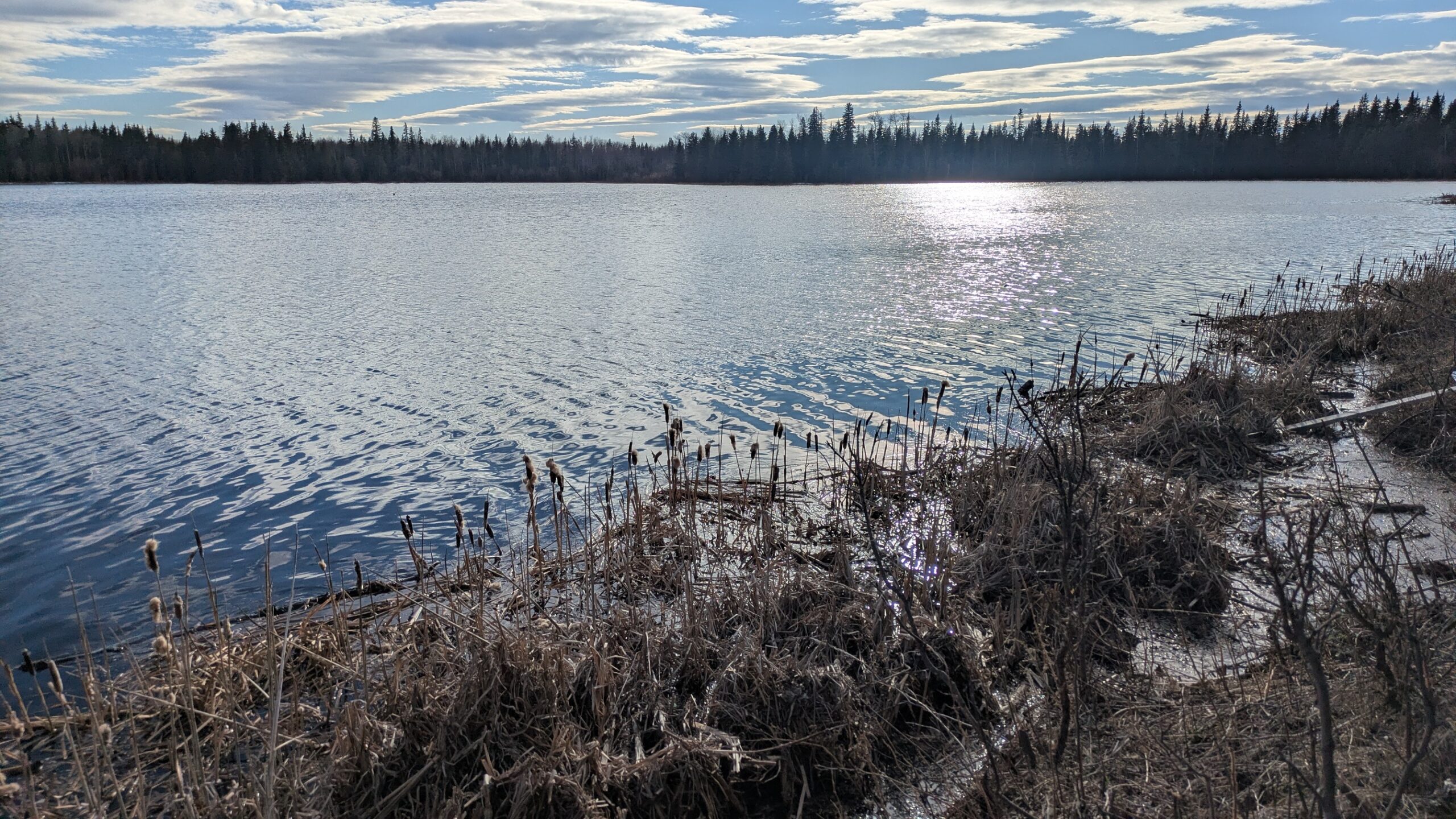
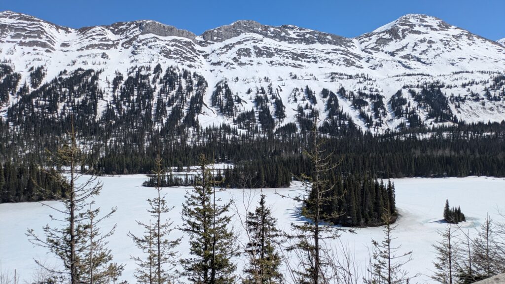
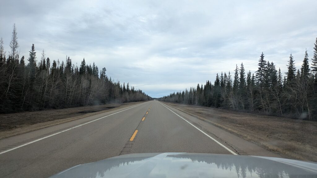
As we headed further north we came across more and more lakes which were still partly frozen, making for a beautiful spring scene with the sun glistening off the exposed water. As we climbed Pine Pass at 993 metres (3,250 feet) snow started to appear on the sides of the road and the mountains were gloriously covered in the white stuff. This is why we came at this time of year.
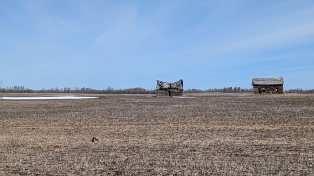
As Highway 97 turned eastward we started to pass through more grazing land and fields which will grow hay and grains later this year. Here the snow was mostly gone but the green grass shoots hadn’t arrived yet and the deciduous birch and aspen trees hadn’t started to bud yet so the whole scene was quite a flat monochrome greyish brownish blah colour. Any communities we came to were fairly modest and mostly based on the local mining and natural gas and logging industries. No wimps live out here.
We passed through the town of Chetwynd which claims to be the world capital for chainsaw sculpturing. Here’s a few examples from the side of the road as we drove through.


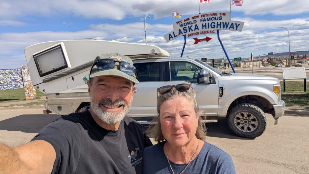
Eventually we made the major regional town of Dawson Creek, the official start and Mile Zero of the Alaska-Canada Highway, and without taking that road – for we were pointed elsewhere – soon after crossed into the province of Alberta. We camped that night at intriguingly-named Moonshine Lake Provincial Park, the clouds having moved in, the temperatures dropped and the wind brisk. Maybe our good weather is over for now.
That night around 10pm we heard a large rustle in the trees near us and using Julie’s big bear torch and a ton of courage we finally found the culprit – a huge moose just checking us out. Jeez that was spooky for a moment!
The next morning it was -2°C (about 28.4°F), the ground was crusty and we left the short pants in the bag. But as we headed northward the sun thawed us out and the day turned out to be a clear day around 15°C (60°F).
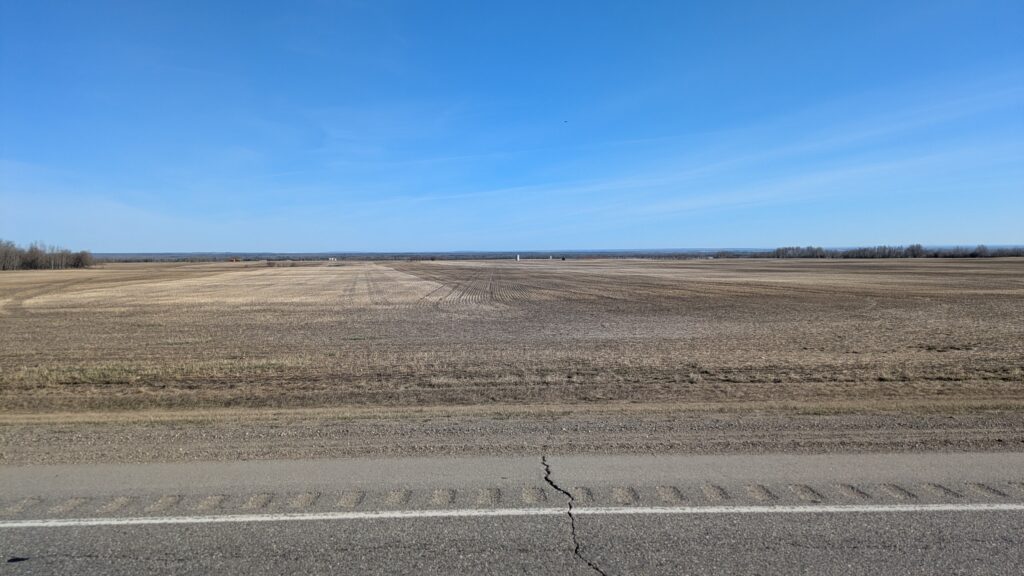
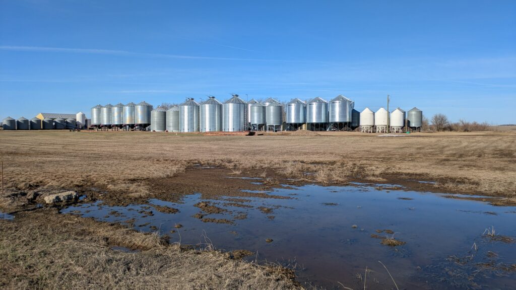
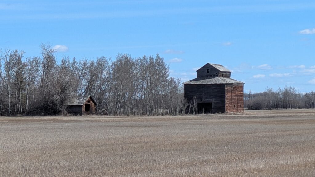
Which was perfect for our drive across more flat prairie land, broken up by rural farming land and the occasional patch of trees. Hay and grain drive the economy in these parts and large farms or small towns each had their own grain silos. Many of the fields still had patches of snow and the farmers were clearly waiting for the full thaw.
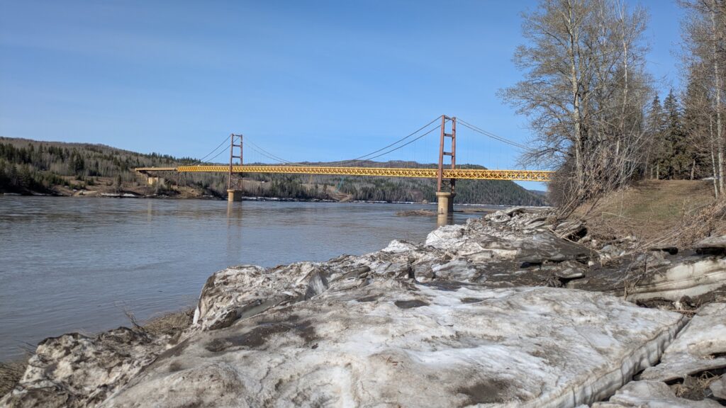
This vast area of northern Alberta is known as the Peace country (the police cars say ‘Peace Officer’ on them), largely because of the huge Peace River that winds it’s way through the land as it flows north to the Arctic Ocean. We crossed the Peace at a place called Dunvegan and were reintroduced to the fascinating history of how western Canada was explored and settled by Europeans.
It boils down to what the fashionable folks in Paris and London in the 1800’s wanted to wear on their heads and across their shoulders – fur. And the best fur of all was beaver which was found only in western Canada.
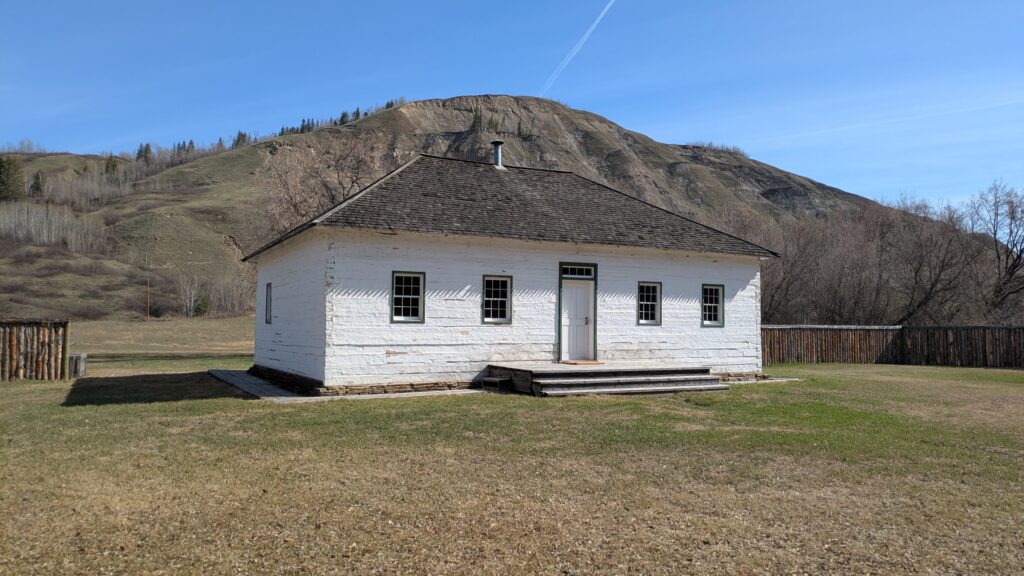
French and English hunters would trap their beavers and other animals along the rivers and lakes and trade them through the monopoly business set up by the Hudson Bay Company (HBC). HBC established a string of forts and trading posts on rivers and lakes across central and western Canada during the 19th century and eventually transported these furs back to Europe.
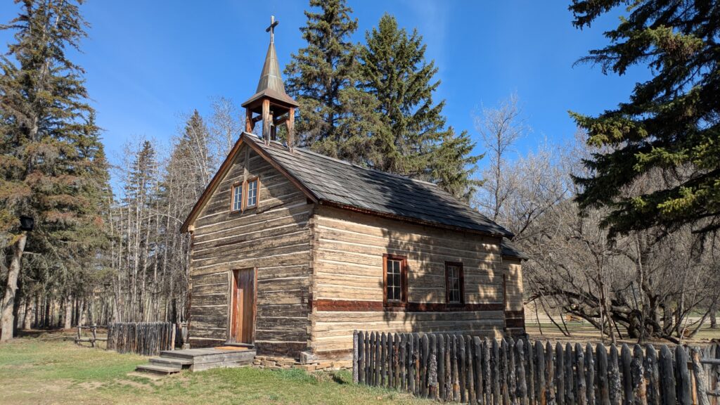
The Oblate Catholic missionaries also set up shop at Dunvegan as they tried to convert the indigenous people, whether they liked it or not.
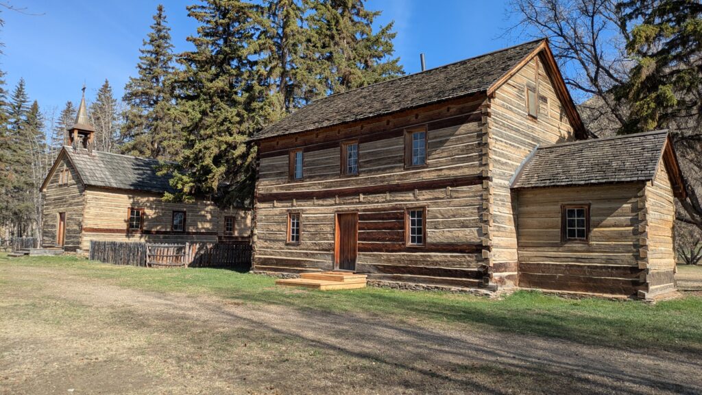
Julie and I checked out the recreated and almost-original buildings from the fort at Dunvegan and soaked ourselves in this fascinating history. How these people lived in such a remote and harsh environment, especially in the bitter winters of this region, is beyond imagination.
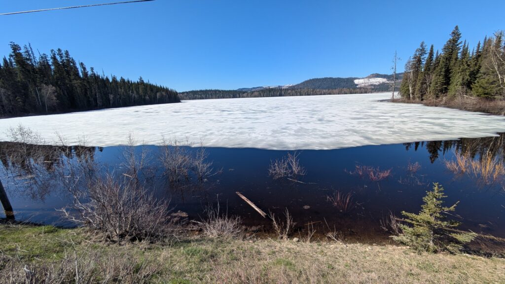
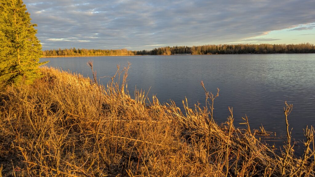
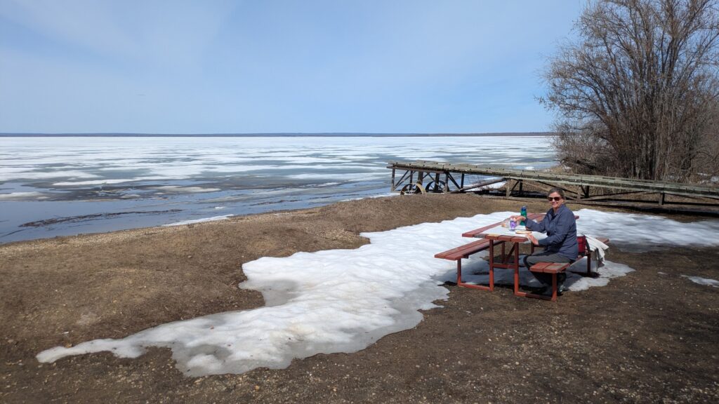
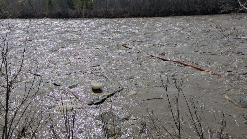
At Lac Cardinal we had lunch in the cool sunshine on the shores of another frozen lake, just loving these winter-to-spring scenes. We then crossed the Mielke River which had apparently just broken up from the winter freeze and was carrying huge chunks of ice, logs and other debris down it’s fast current. We’ve never seen this phenomenon and it was absolutely awesome. Check out this video here to get an idea.
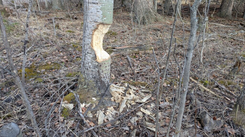
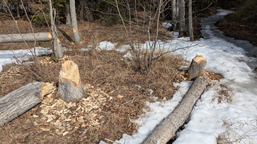
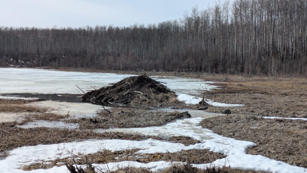
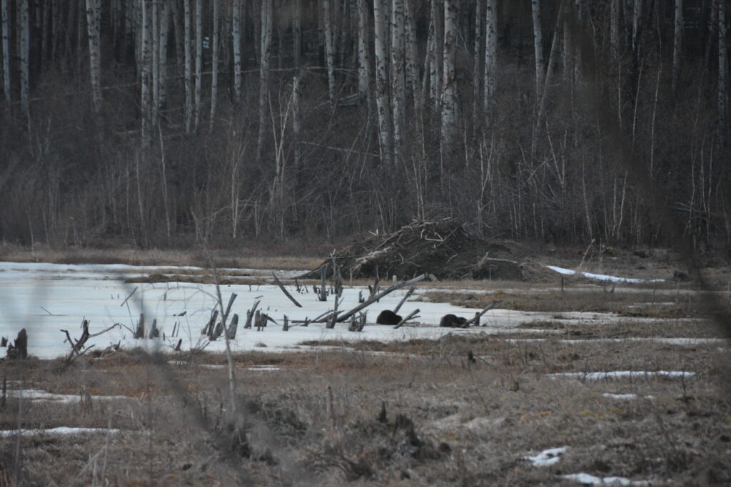
We made our way to Twin Lakes Provisional Park, like all these parks still closed for the season, and camped down near the boat ramp on the shore of the lake. The destructive capabilities of the local beavers was plain to see everywhere, as was their huge beaver lodge, and the overall scene was again just why we came this time of year. And special bonus – around 10pm at night, when the sun had just set, four beavers came out of their lodge and were foraging between their home and ours. Truly awesome.
As we moved further north the changing of the seasons seemed to slow as the temperature dropped and the deciduous trees hadn’t started to bud yet. The thick aspen and birch trees on both side of our arrow-straight road confirmed what we already knew – this is tough land and tough weather and very few inhabitants.
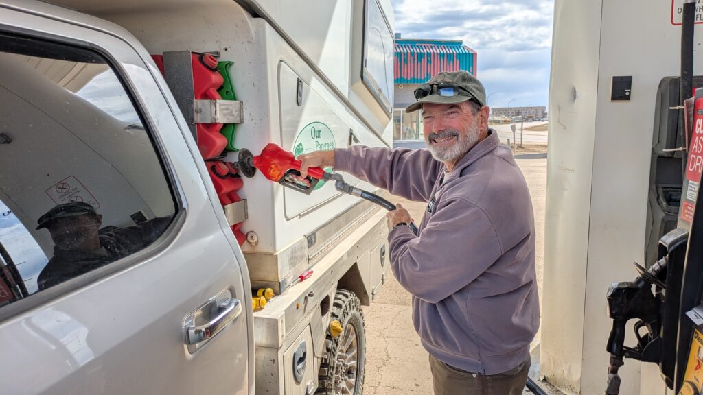
At the northern-most town of High Level, yes, that’s it, we took advantage of all the services this high-function, low-attractiveness town of 4,000 had to offer. We hit the supermarket, the grog shop, the petrol station and as a special bonus we found a bulk fuel station on the edge of town which services the large trucks passing through that had free hot showers. Wasn’t that a pleasant surprise!
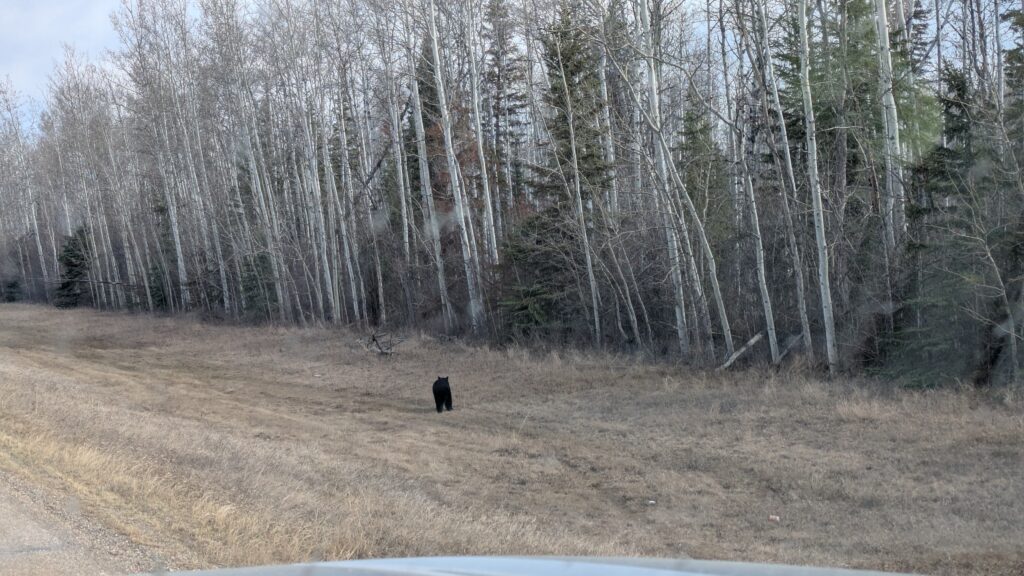
Anyone leaving High Level to the north is only going one place – the Northwest Territories. The drive to the border featured more long straight roads lined with sleeping deciduous, creeks and rivers crossing everywhere and an unending watery swampy look to the land as all the deep snow is melting and has to go somewhere. We saw two more bears feeding on the wide grassy areas by the road but with very light traffic and almost no turns it was a testing drive.
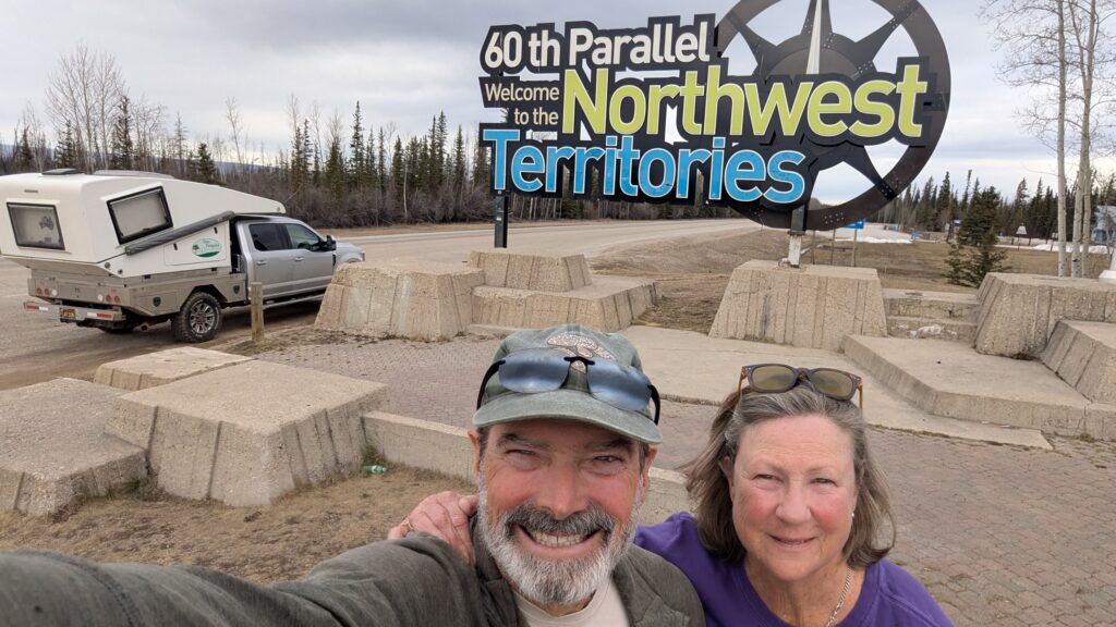
We crossed the 60th parallel and into Northwest Territories, a milestone of any traveller up in these parts. We’d been through this way nine years ago on our Follow the Sun journey but patted ourselves on the back for making it back after promising ourselves we would.
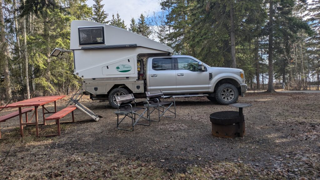
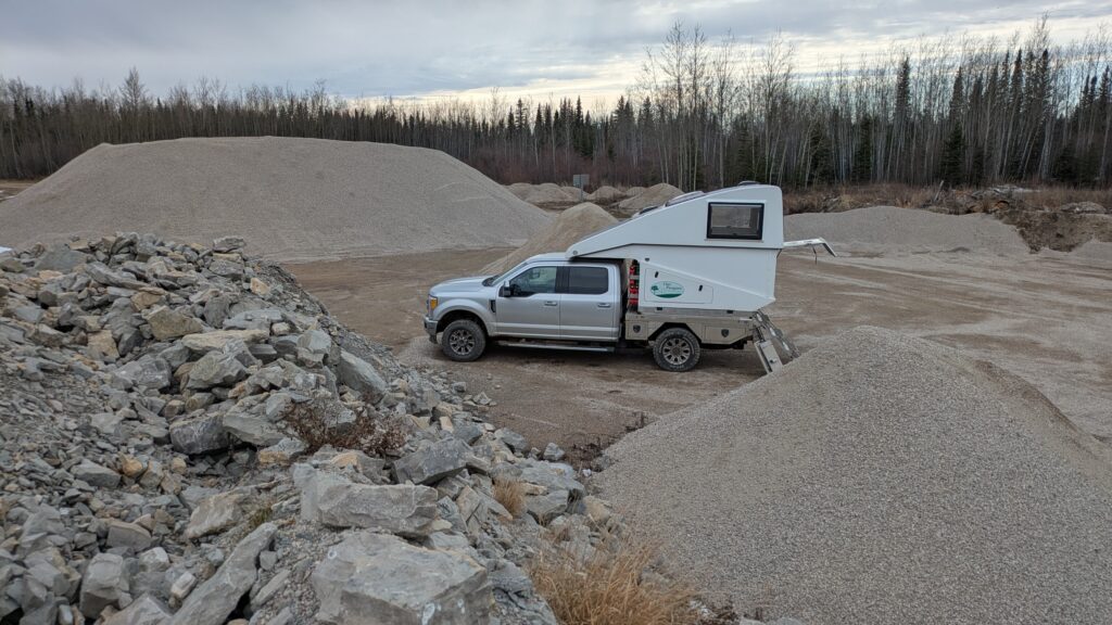
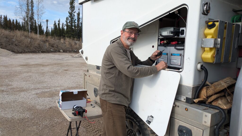
We camped only a few kilometres later at the back of a huge gravel pit, one of our favourite tricks when we’re scratching for a spot. No overland journey is complete without at least one gravel pit campsite. Unfortunately the ambience of the surroundings was lost as I spent almost two hours trying to install a non-compatible water pump. Mission fail.
We’re seriously pumped for the Northwest Territories, planning to visit a few new places and also go back to places we loved. Let’s get to it.
So glad you made it to the NWT before tourist season kicks in.
Hi Barry, this is the best time of year we’ve decided – we haven’t seen a single other tourist/traveller since we’ve arrived and watching the rivers break-up from their winter freeze has been fantastic. NWT rocks!