North again
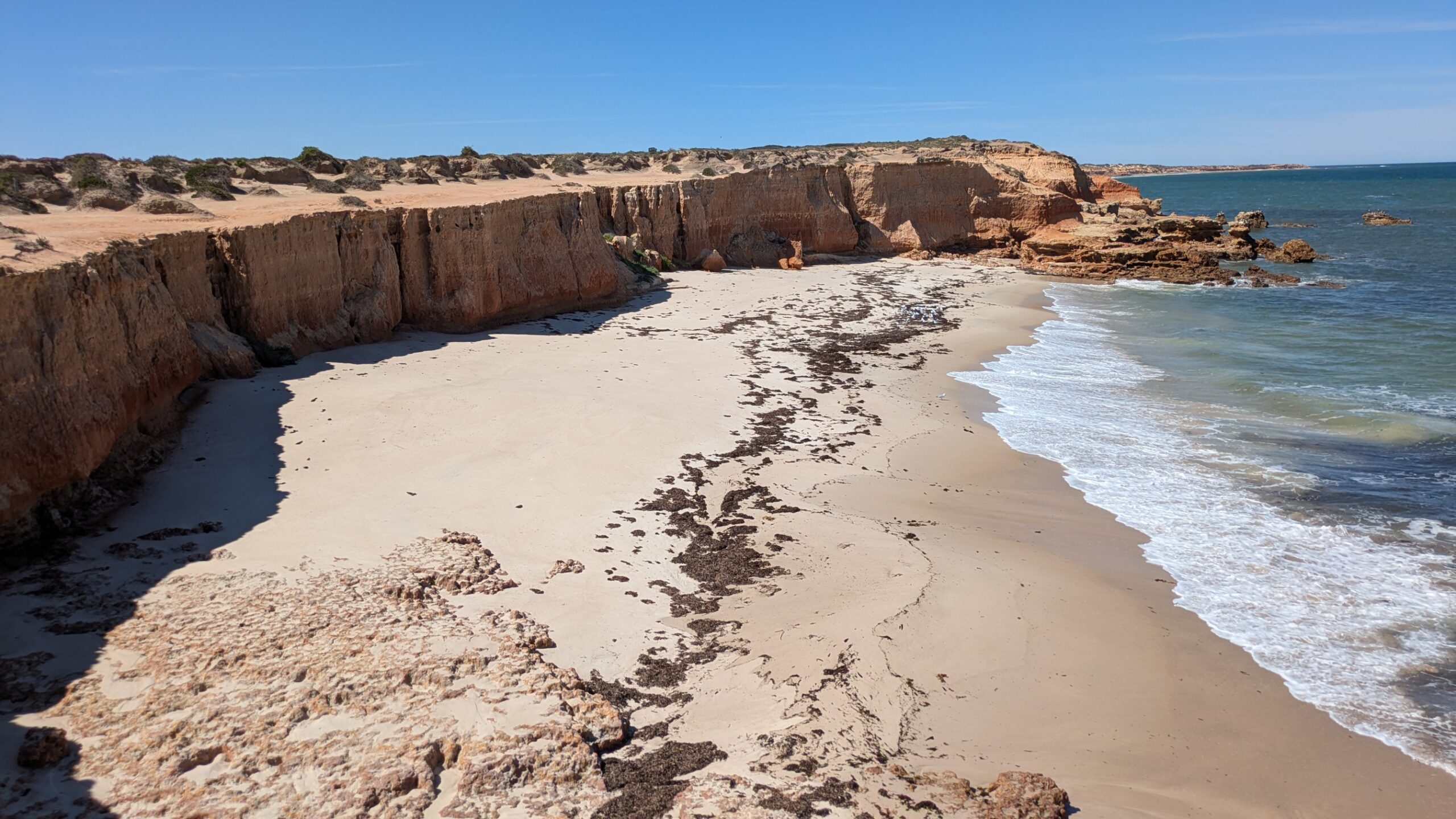
You can only go south for so long before you eventually run out of road and have to turn around. That’s what happened to us when we arrived at beautiful Fishery Bay, the furthest south any public roads will take you on the Eyre Peninsula before you have to turn around and head north.
We woke that morning at our sandy campsite on Spalding Cove and drove to the end of the peninsula that makes up Lincoln National Park, exploring the lighthouse and a couple of beaches. The park preserves all the wild native bushland that prospers along the coastline in rocky conditions, including a few beaut beaches.
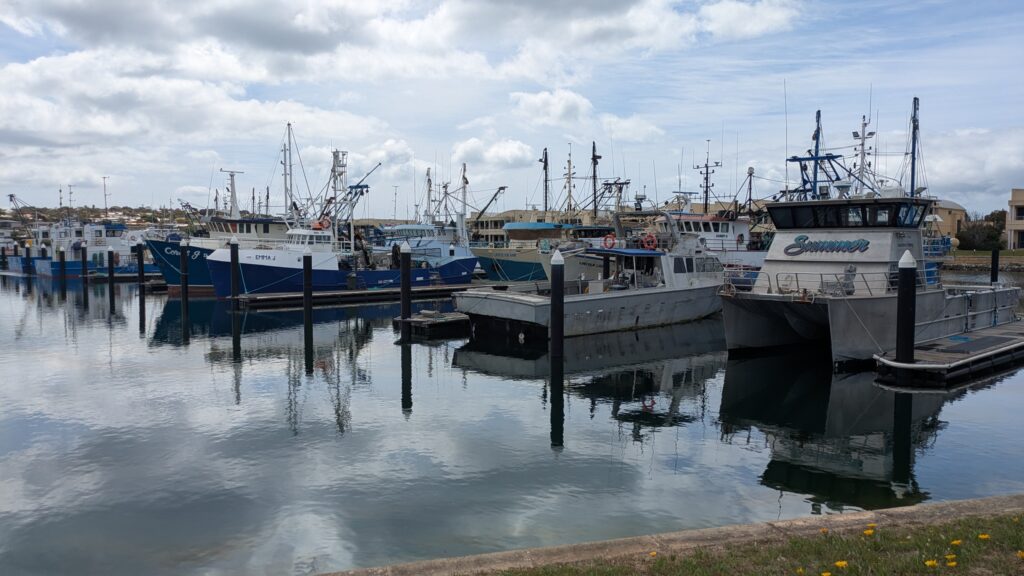
After exploring the park and driving out to Fishery Bay we ended up in Port Lincoln, the largest town on the peninsula with about 15,000 people, a handsome town with it’s holiday-atmosphere waterfront and vibrant fishing marina. In fact, Port Lincoln self-promotes itself as the Seafood Capital of Australia so we had to do our part by having fish and chips for lunch.
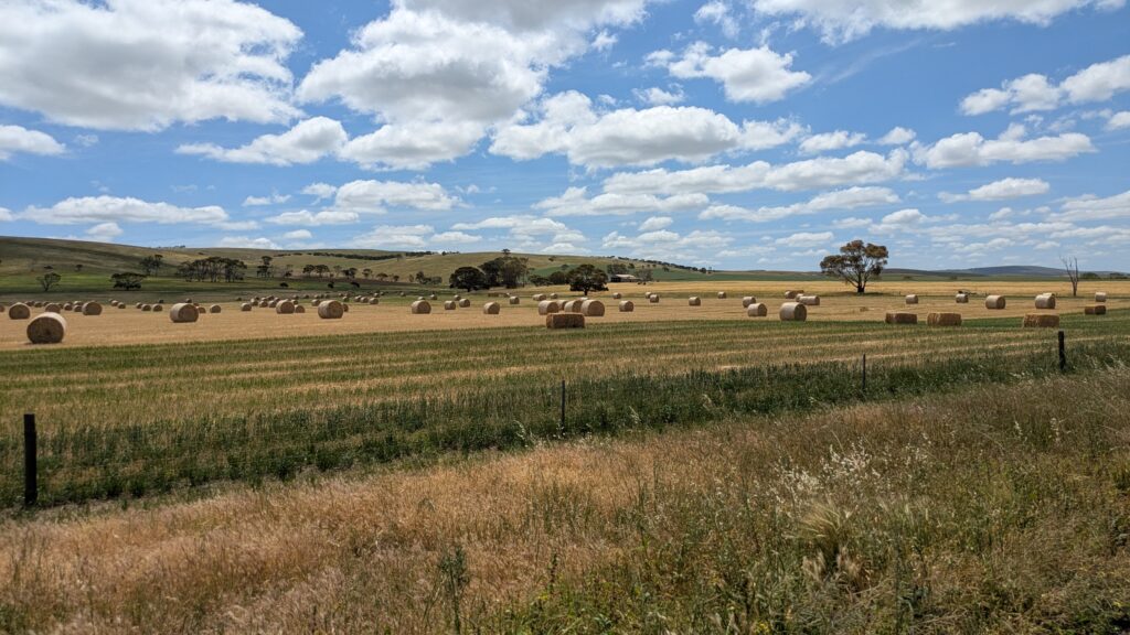
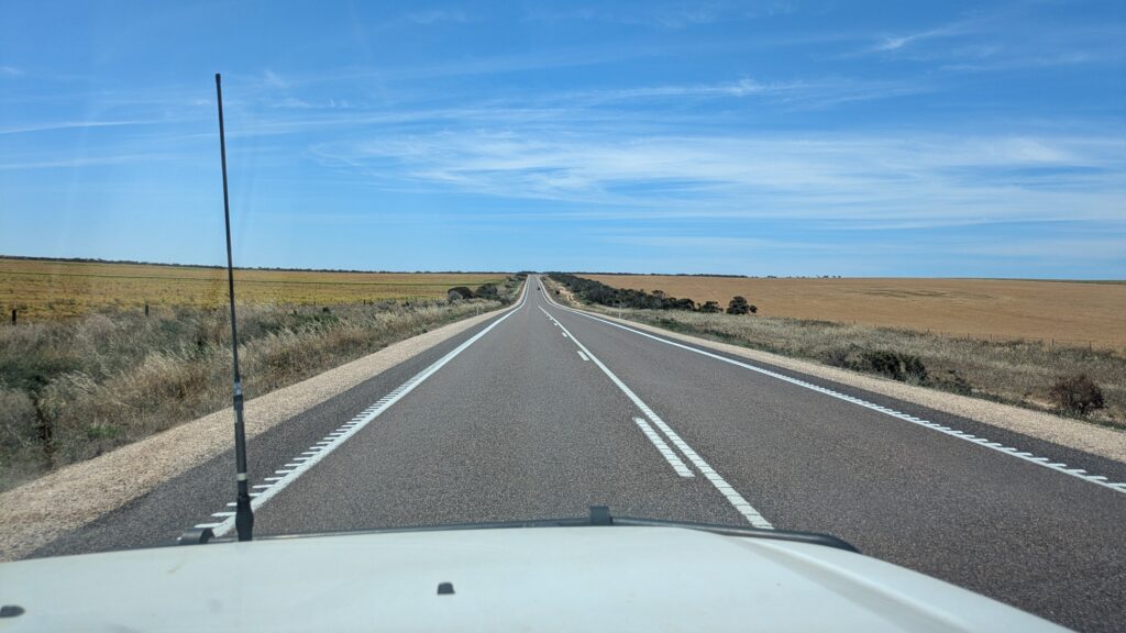
We then started our journey northward along the eastern coast of the Eyre Peninsula, having thoroughly enjoyed the wild west coast. What will the east coast have in store for us? Well, the first 50 kilometres features rich agricultural land with healthy fields of grain, some of them already harvested, spanning the land.
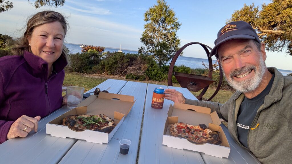
We stopped at the great little beachside town of Tumby Bay with it’s long jetty, sandy beach and large crowds of pelicans, for a rare night in a caravan park. We needed an afternoon of admin tasks – most importantly, our washing bags were full but we also needed WIFI and showers. The park was very pleasant and as a special treat it was Friday night pizza night where some locals bring in their pizza ovens and everyone orders pizzas and socialises. All great fun (as a one-off night).
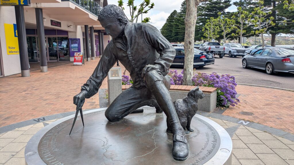
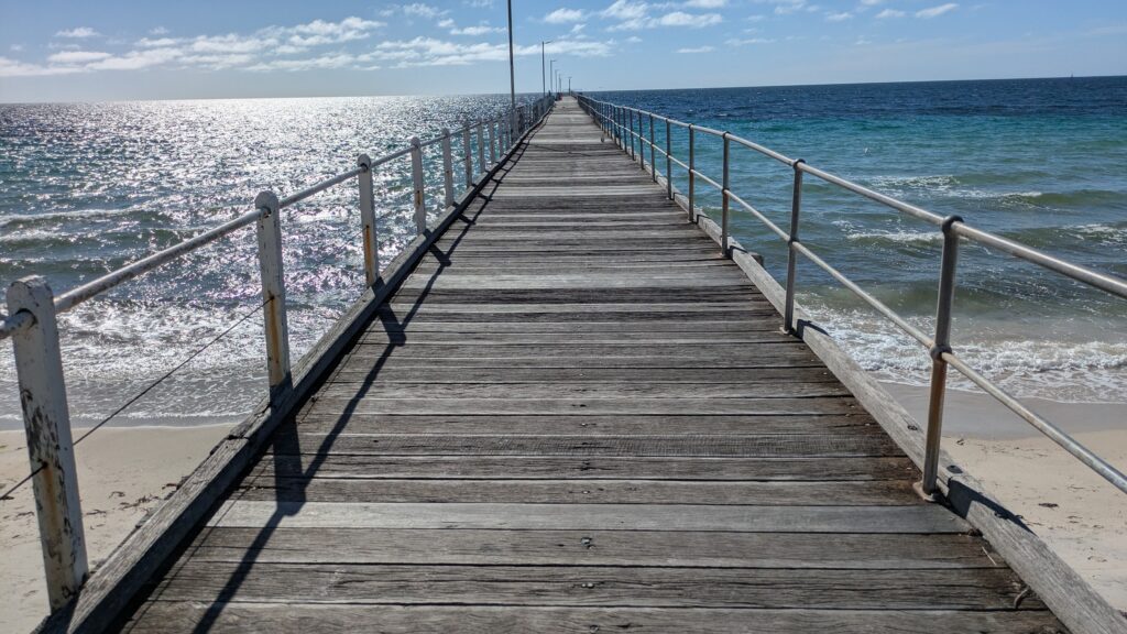
With clean sheets and clean jocks we explored cute little Tumby Bay the next morning, that is, we walked out on their jetty which was originally built 150 years ago to move grain and wool to England. As is most things on the Eyre Peninsula, it was named by Matthew Flinders, the famous English explorer who was the first to circumnavigate mainland Australia and the first to put the name Australia to the continent.
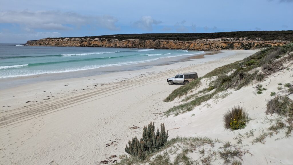
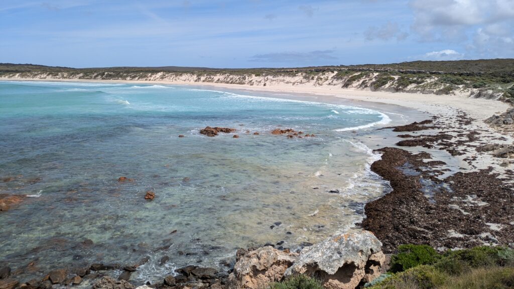
Moving north, we hit the very picturesque spot of Lipson Cove and wished it was time to camp. We moved slowly up the coast, stopping at beaches and small towns along the way, enjoying the rich land producing grains and hay. We were interested to see the difference between the west coast and the east coast of the peninsula and so far we would say the east coast has more fertile soil but none of the dramatic coastline that the west coast features.
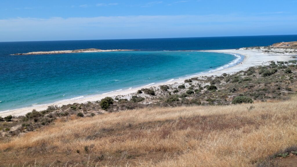
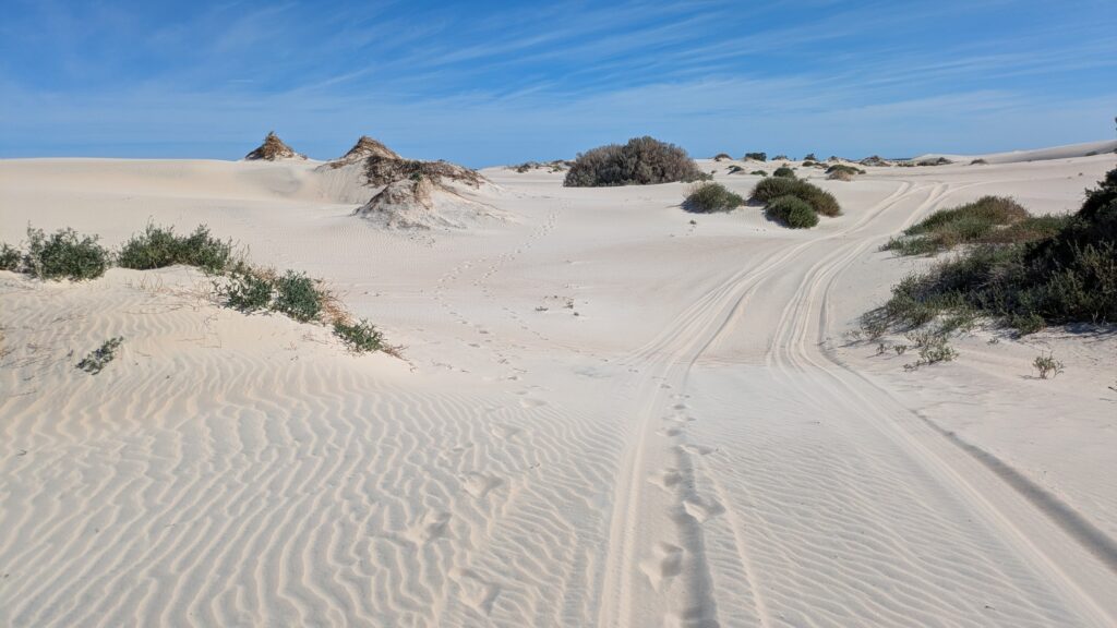
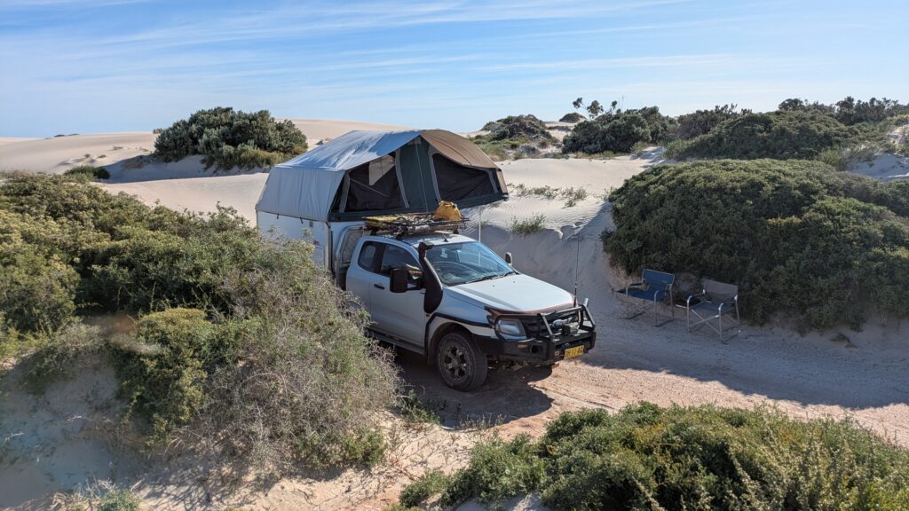
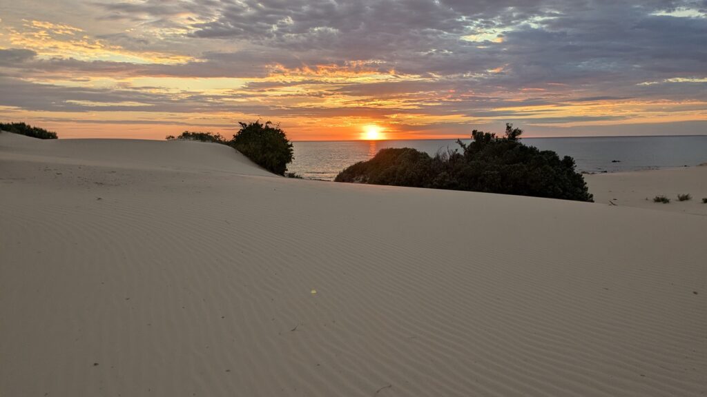
We camped the night amongst the sand dunes at Point Gibbon, after exploring the dunes and coastline by foot and enjoying the wild and rugged scene when the dunes meet the rocky shoreline. It was a windy night but we loved this beautiful setting and were very cosy between the dunes.
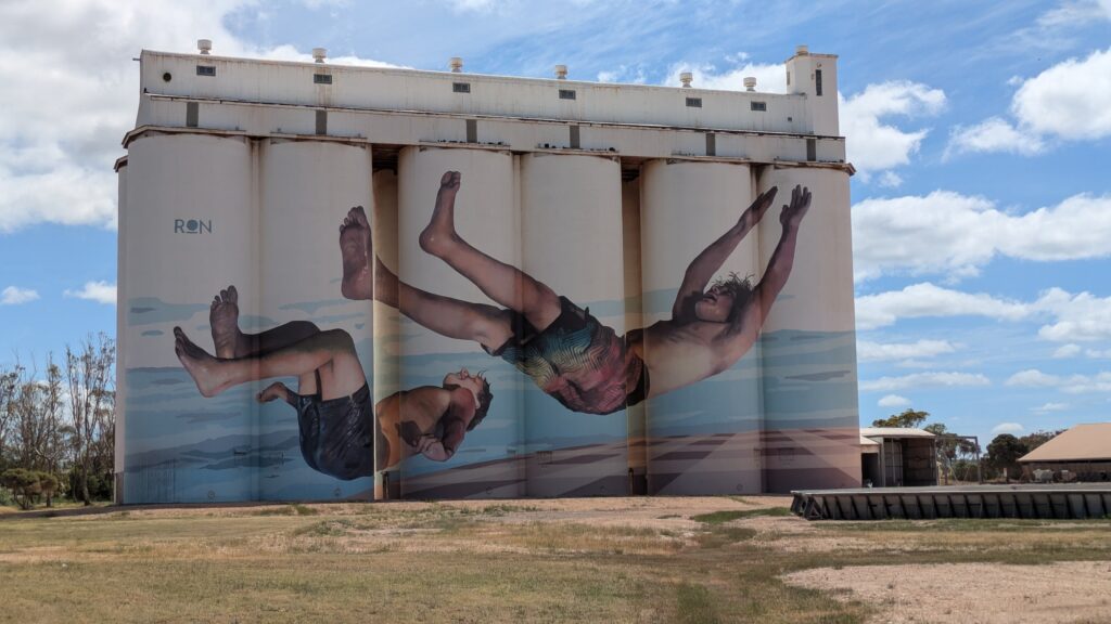
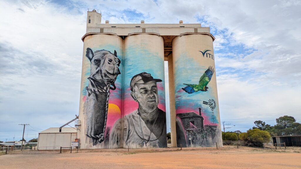
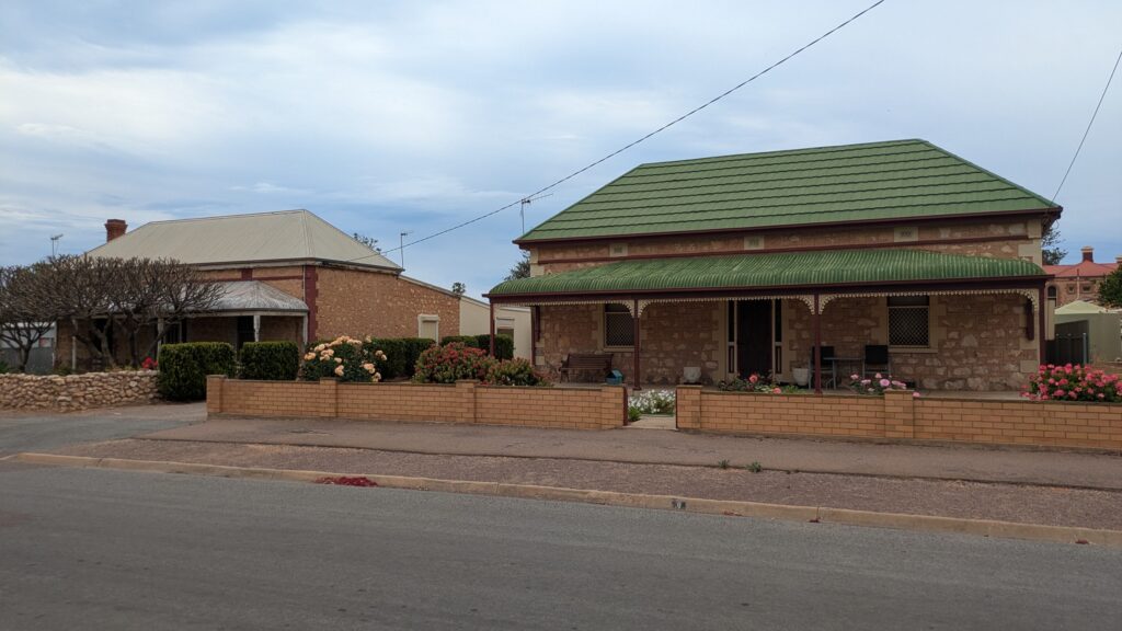
The next day we continued northward and this section cemented our view that the west coast of the Eyre Peninsula with it’s wild scenic coastline was a notch above this more tame east coast. We stopped at the town of Cowell with it’s silo art and quaint family homes before making the major mining port city of Whyalla.
In Whyalla it’s all about iron ore mining, processing and shipping to distant ports. And if you look at that side of town you see huge rusty processing and loading plants, a very average look at best.
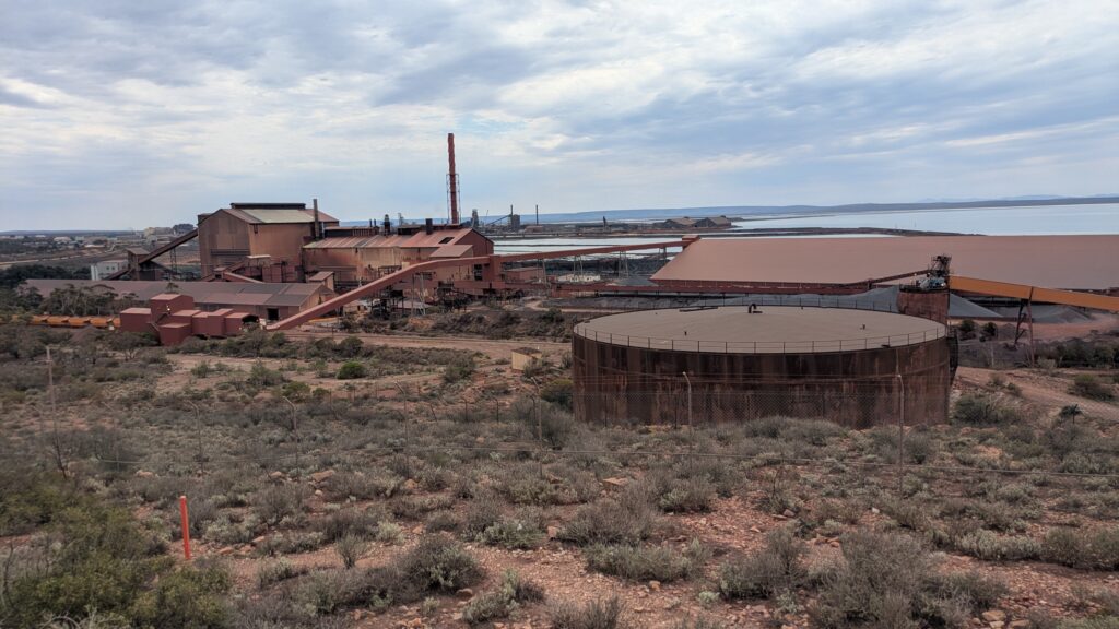
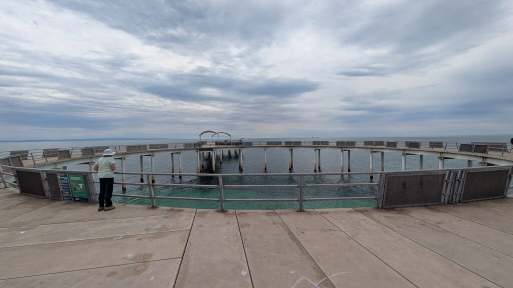
But the foreshore area showed that the good folks of Whyalla, the self-proclaimed cuttlefish capital of the world, had more going for them than iron ore, including the only circular jetty in the southern hemisphere and a long sandy beach. We gave Whyalla more than a pass mark but don’t look at the iron ore processing plants.
As we moved north there was much less agriculture and much more desert scrub, particularly as we approached Port Augusta, the city on the northern tip of the Spencer Gulf and the geographical end of the Eyre Peninsula.
Port Augusta, whose port closed back in the 1980’s and is a shadow of it’s former self, marked the end of one stage of our journey, the Eyre Peninsula, and the start of the next. And here’s a fun fact about Port Augusta – this is where the first camels were offloaded in 1866 to help explorers, pioneer pastoralists and transporters negotiate the desert interior after they realised horses and bullocks couldn’t do it. And which country in the world has the most feral camels? Australia, of course (estimated to be more than a million).
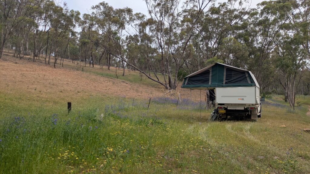
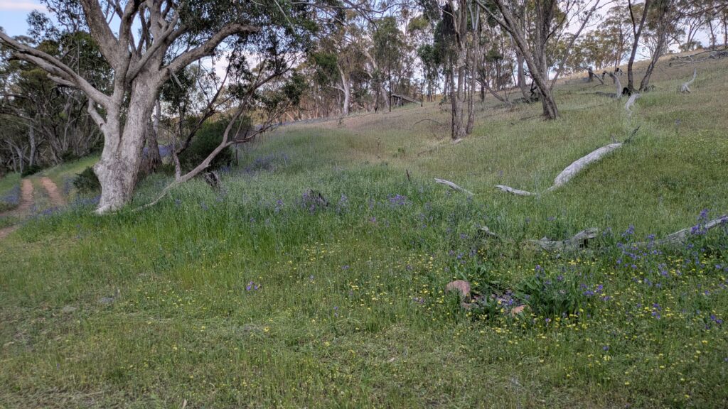
We camped that night up a little track behind Mt. Remarkable National Park, beautiful wildflowers and excessive firewood all around us. The heat and the flies lingered well into the evening but the setting was sublime.
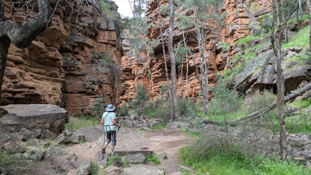
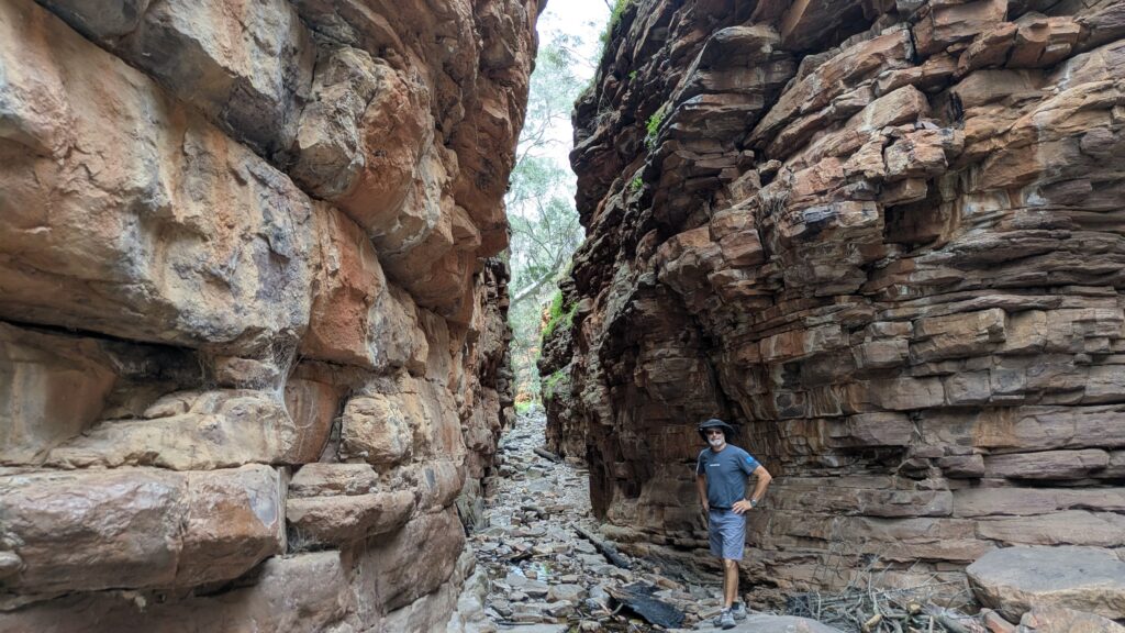
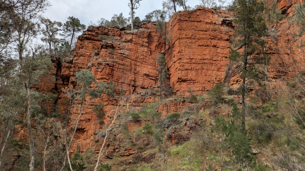
The next morning we braved the flies (if it sounds like we are wimps about the flies, you’ve never seen flies like this) and hiked the delightful 2.5 kilometre (1.5 mile) loop trail through the Narrows of Alligator Gorge in the heart of Mt. Remarkable National Park. The narrow gorge with vertical cliffs climbing more than 50 metres was carved out by the Alligator Creek, finding a weaving path through orange-red rock and steep mountains. Very cool.
From the national park we made our way down to the vibrant port town of Port Pirie which sports the biggest set of downtown grain silos you can imagine and not much else before making our way down the Yorke Peninsula. But that’s another story.
Comments
North again — No Comments
HTML tags allowed in your comment: <a href="" title=""> <abbr title=""> <acronym title=""> <b> <blockquote cite=""> <cite> <code> <del datetime=""> <em> <i> <q cite=""> <s> <strike> <strong>