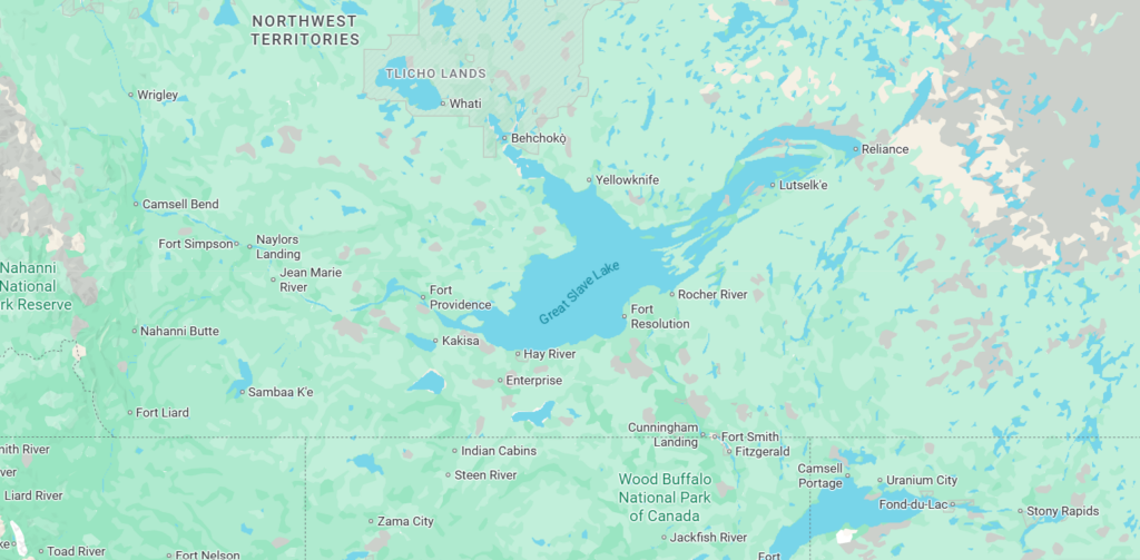
Great Slave Lake
The Northwest Territories covers a vast area of northern Canada, most of it the wildest wilderness anyone could imagine, and the few towns or communities that do exist are usually small and quite remote. There is a large First Nations population in these northern parts too but whoever lives up here is just about as tough as it gets. And one of the main centre points for human activity in the territory is Great Slave Lake. Our plans over the next week or so were to explore this massive lake and the communities and attractions that are nearby.
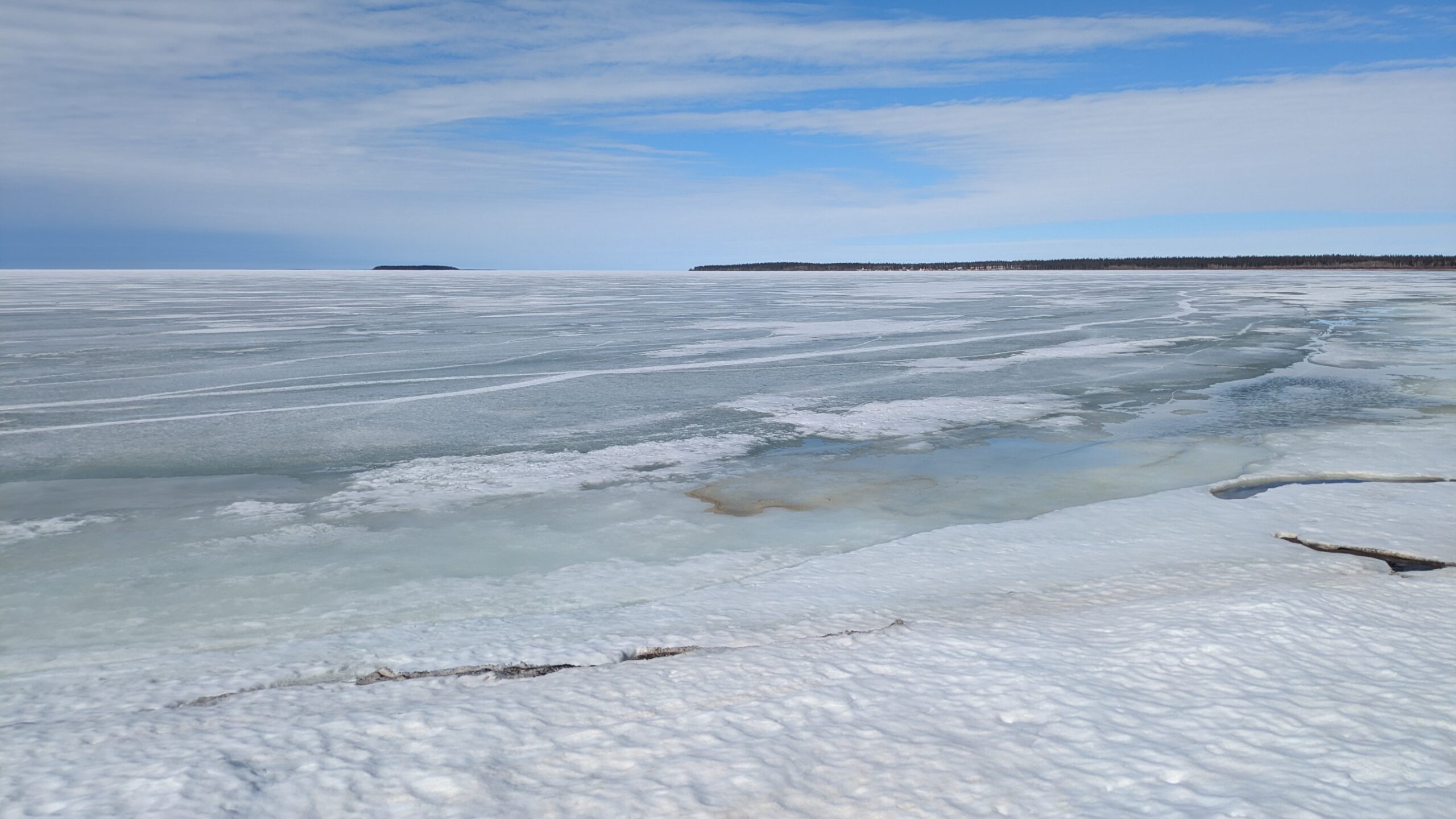
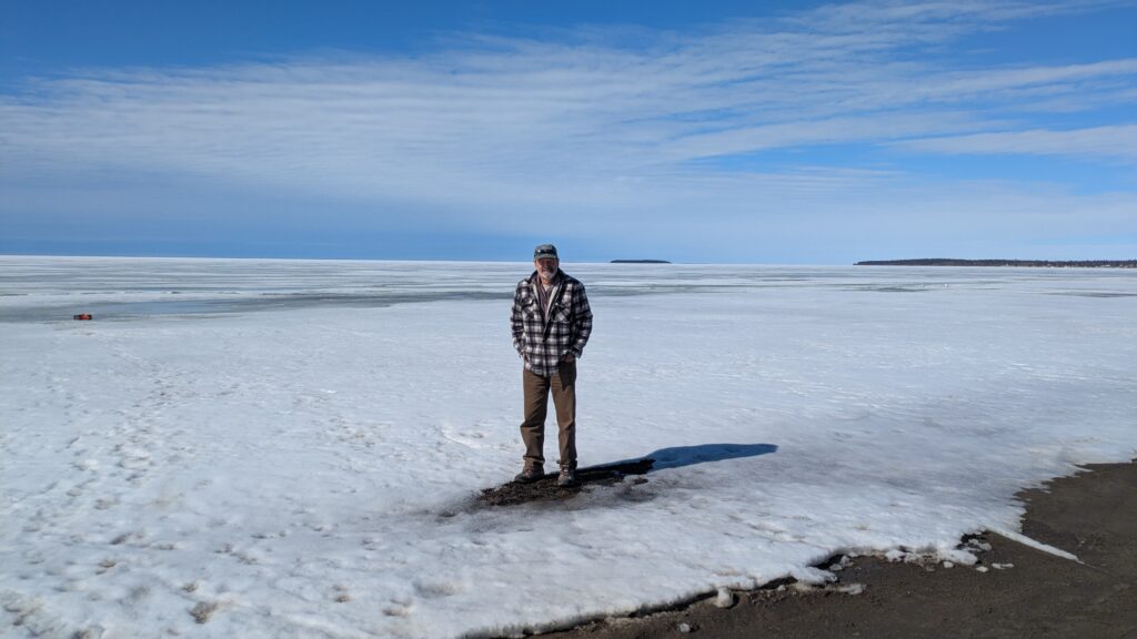
Great Slave Lake is the ninth largest lake in the world covering an unfathomable 27,200 square kilometres and it’s deepest point is 614 metres making it the deepest lake in North America. It is covered with ice for up to seven months of the year and at some places the ice can get up to six feet deep. To stand on the shores of this lake in early May is very cool.
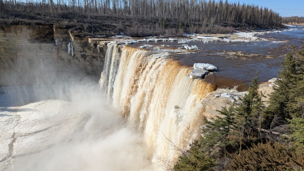
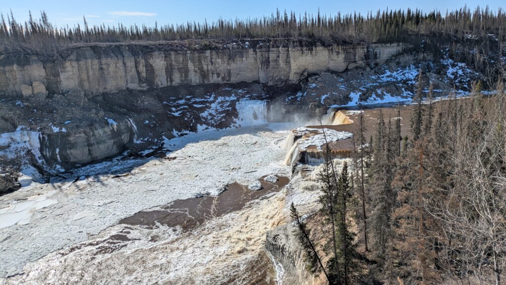
Our plan was to follow the highway north along the winding Hay River until we reach it’s mouth on the shores of the Great Slave Lake in the cleverly-named town of Hay River. But first stop was the two extraordinary scenes – Alexandria Falls and Louise Falls.
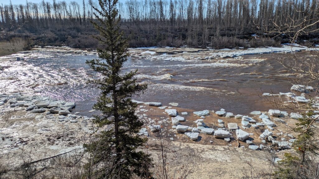
Extraordinary because the huge Hay River had just broken up a few days ago and a flotilla of huge slabs of iceberg-like chunks were floating down the river and flying off the waterfalls. But the waterfalls, and particularly Alexandria Falls, was half frozen and the water was disappearing under a frozen sheet, reemerging downstream. This was nature at it’s absolute most spectacular.
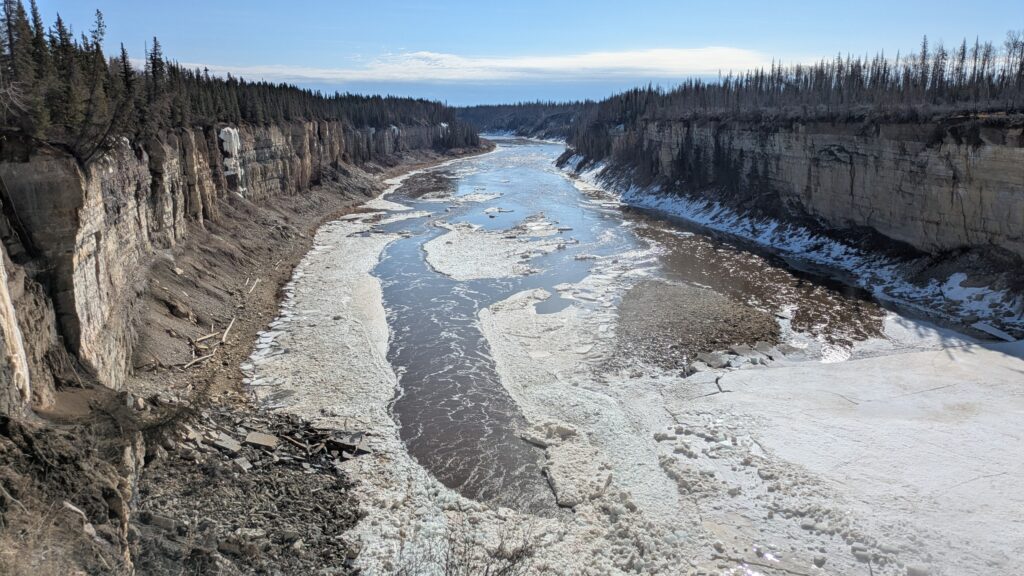
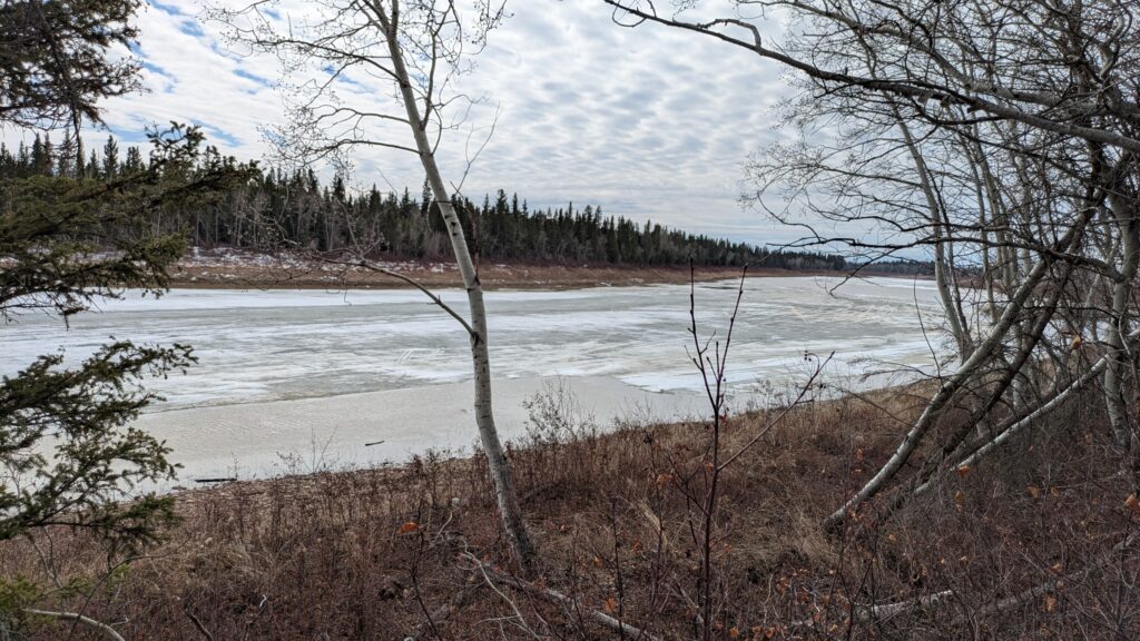
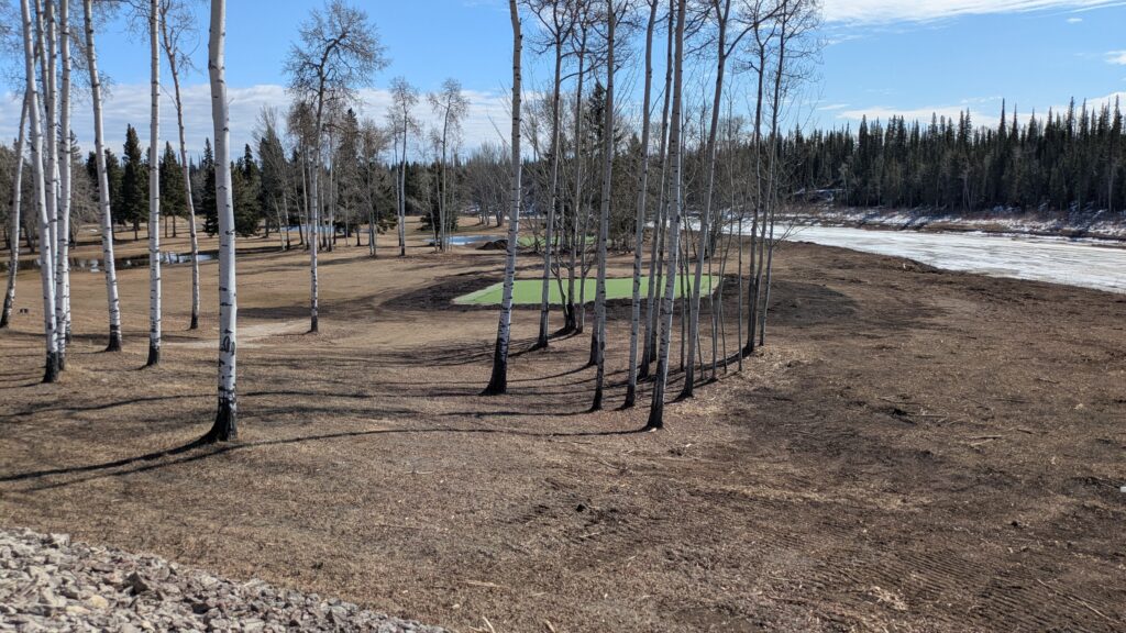
As we followed the river to it’s mouth we could see sections that were still essentially all frozen with water flowing beneath the ice. Near the golf course and Nordic Centre (year-round fun!) we could clearly see the tracks on the ice from snow mobiles which used the frozen river for transport. Great stuff.
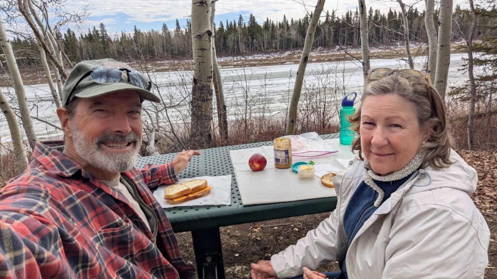
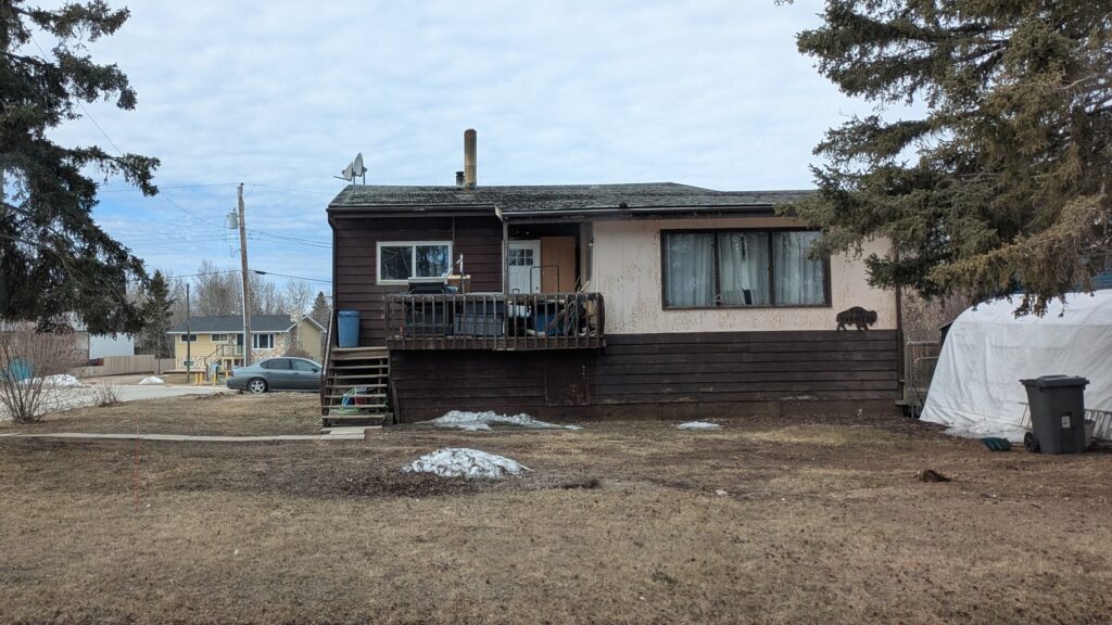
Hay River, a town of about 4,000 hearty souls, was just coming out of it’s winter slumber when we arrived with most of the snow in town already gone. One local told us that last week had been particularly warm and snow was melting at the rate of one foot per day.


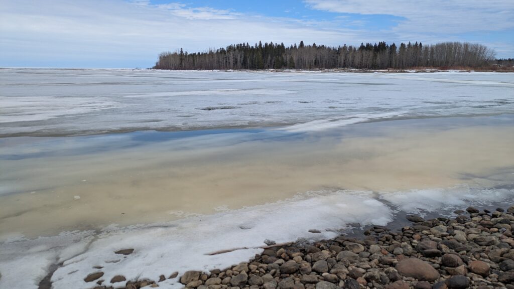
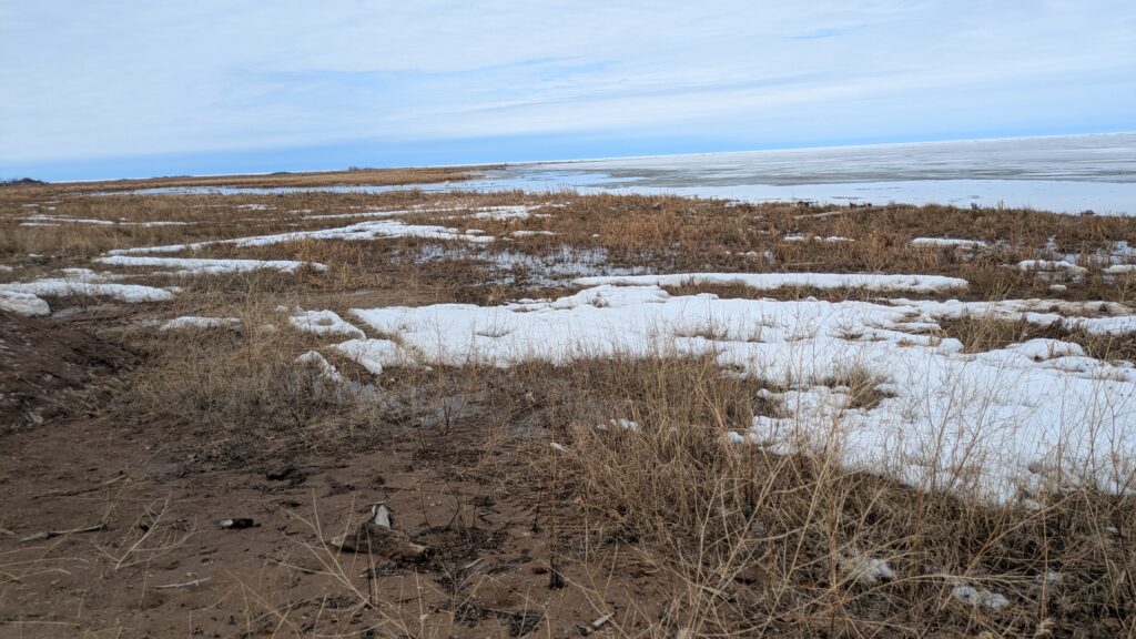
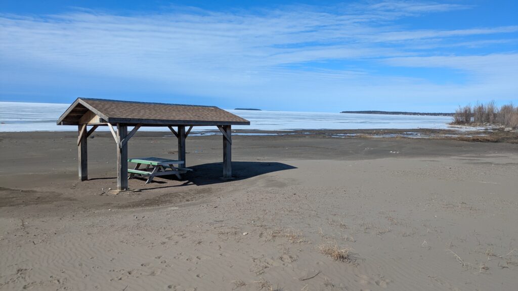
One of the town’s claims to fame are the long sandy beaches on the shores of Great Slave Lake which attract intrepid sun seekers in summer. The locals call it the Hay Riviera. We know a thing or two about beaches so had to go down and check them out. Have a look at these photos and you can decide for yourself.
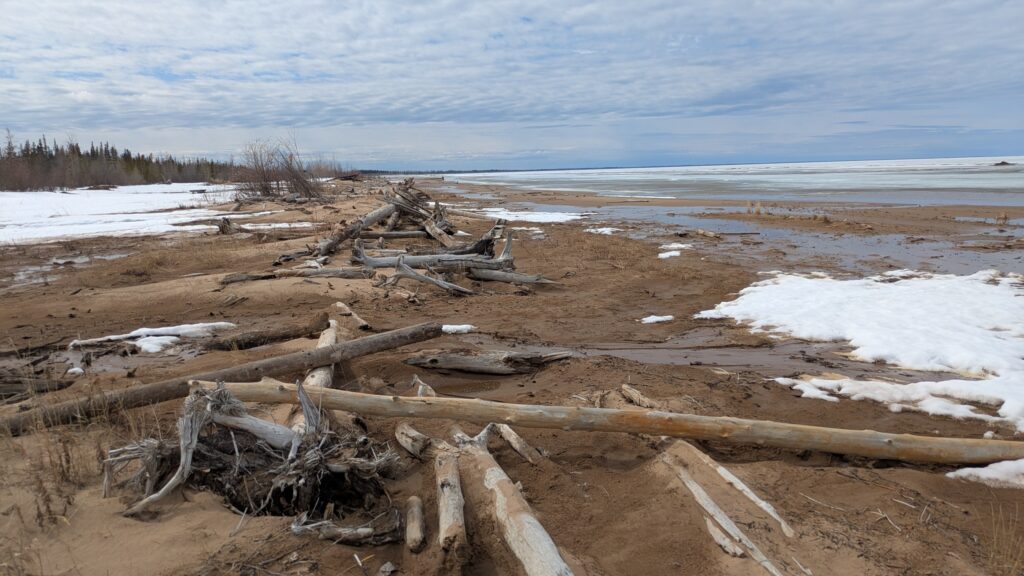
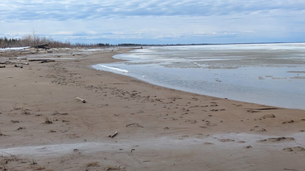
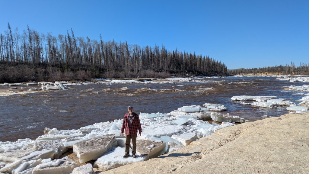
The mouth of the river, where it flowed into the lake, was absolutely frozen, never mind the nearby closed campground and hopeful children’s playground covered in snow. The scene from the banks of the river was harshly beautiful beyond words but also hard to imagine how it morphs into a summer attraction.
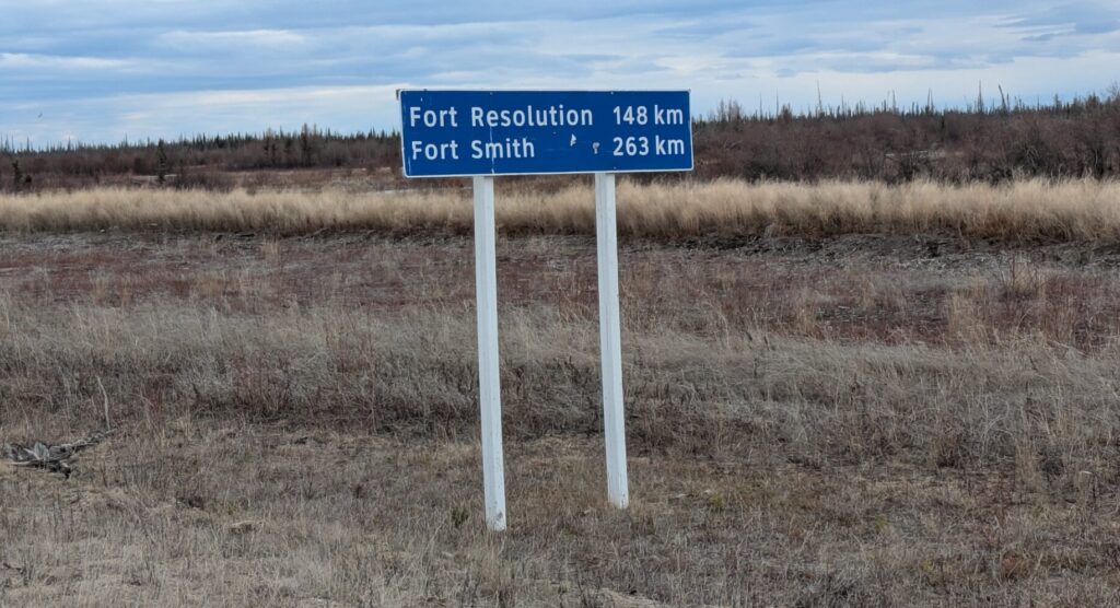
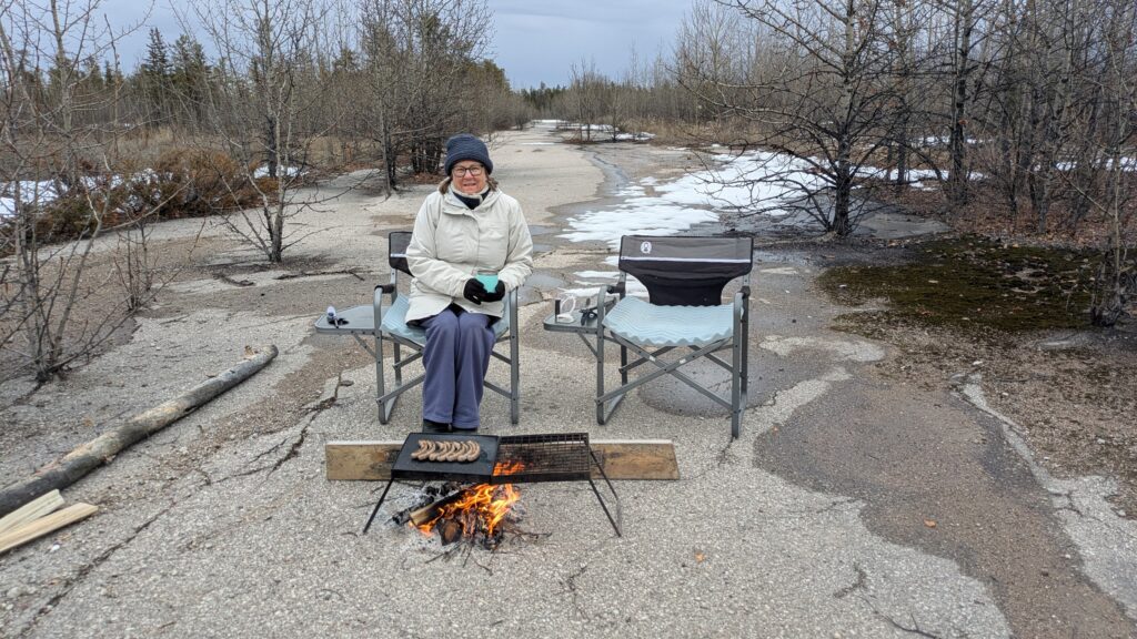
We did a few errands in the town and loved the frontier vibe of the place, accentuated by the 7°C and chilling breeze, before moving eastward towards our next destination, Fort Resolution. But after about 60 kilometres we pulled into a place called Pine Point to camp for the night.
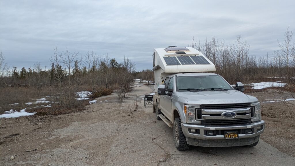
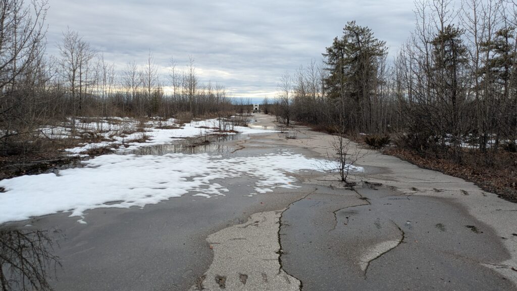
Pine Point was an old zinc and lead mining town established in 1964, complete with paved streets, footpaths and all the comforts of a remote town. When the mining boom ended in 1988 they packed up all the buildings and left the paved roads. It was a little eerie watching nature slowing taking over the remains of this town (and fun fact, when they shut up shop they moved the ice arena to Fort Resolution, about 60 kilometres away) The dark sky lowered the temperature to single digits and we chose an overgrown side street to set up camp for the night. This was a crazy, bizarre and unique scene, almost apocalyptic, as we huddled around our fire in the middle of a street with trees growing out of it.
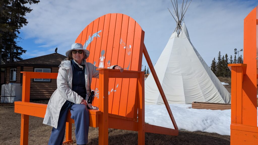
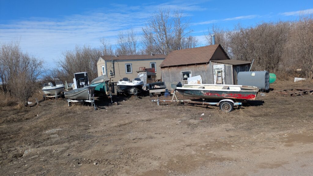
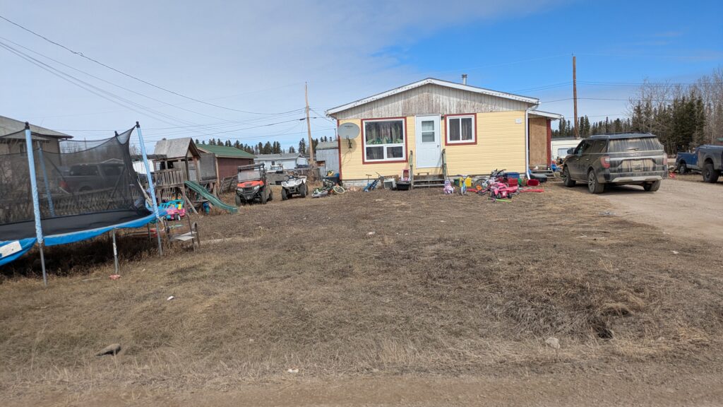
The next day we drove into Fort Resolution, a First Nations community of about 400 people that marks the edge of human civilisation in the Northwest Territories. There ain’t nothing else out there beyond Fort Resolution.
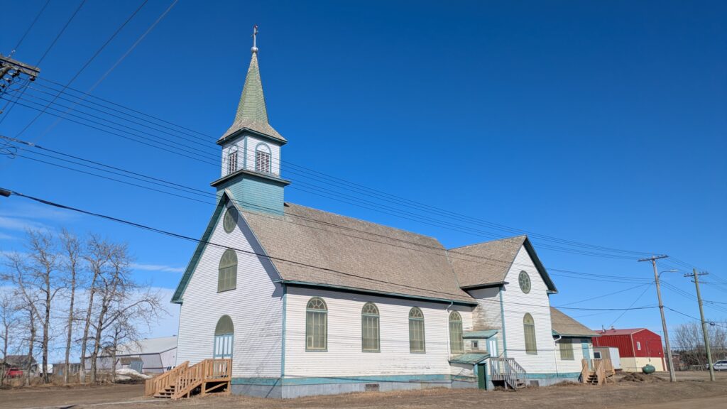
Fort Resolution has the distinction of being the oldest European community in the Northwest Territories, dating back to 1819 as a key fur traders’ outpost. While there is nothing flash or special about the town, which is officially called a hamlet, there was a very welcoming and warm feel to the place. We instantly liked Fort Resolution.
Julie and I met a number of locals, mainly due to their friendly outreach to us as obvious outsiders, and through their tips we explored a couple extra places, including what they called Mission Island, even though it’s not an island. Thanks to Tom, Monique and Tina for your info and insights.
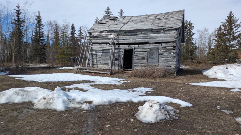
But laying on top of everything we saw and everyone we met is the fact that winter up here is exceptionally harsh and lasts six to eight months. Like a lot of communities this far north, this is a place with tough people and big smiles.
We had lunch at Little Buffalo River Territorial Park and continued our drive back the way we came. Eventually we turned east and south towards another remote community, Fort Smith. This was a long drive with the same thick spruce and aspen forests along the road mile after mile after mile and we eventually passed into Wood Buffalo National Park, the largest national park in Canada and a UNESCO World Heritage location.
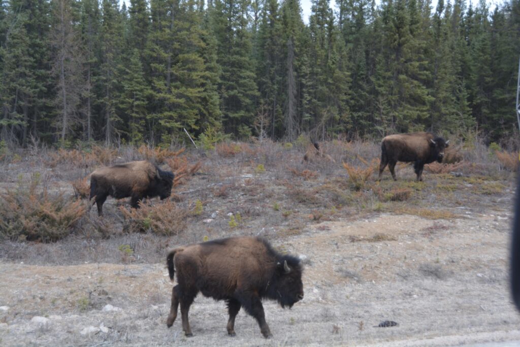
Our perseverance was rewarded when we came across a herd of about ten wood bison grazing on the side of the road as if they don’t have a care in the world…which I guess they don’t. Tramp came to a halt and we watched these gentle giants go about their business, in particular two mums with their little calves. These are huge beasts with enormous skulls and handsome curving horns who know they have nothing to fear. We might see more bison later on, or maybe we won’t, but this was very special.
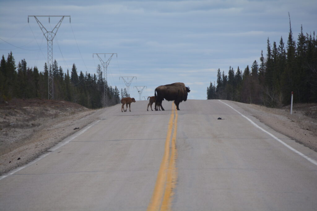
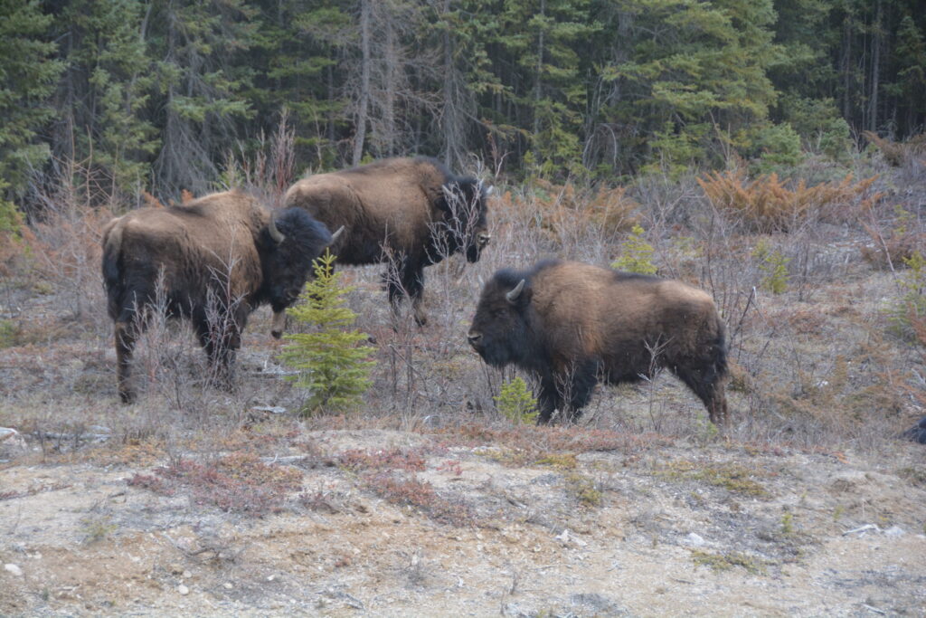
And as to the age-old question – are they buffalo or bison? – the answer is…well, sort of both. They are technically bison which are different to buffalo but since everyone in North America started calling them buffalo from the very beginning, including governments, the name has stuck. From the safety of Tramp I asked a big male on the side of the road what he thought and he just looked at me like I was a dope.
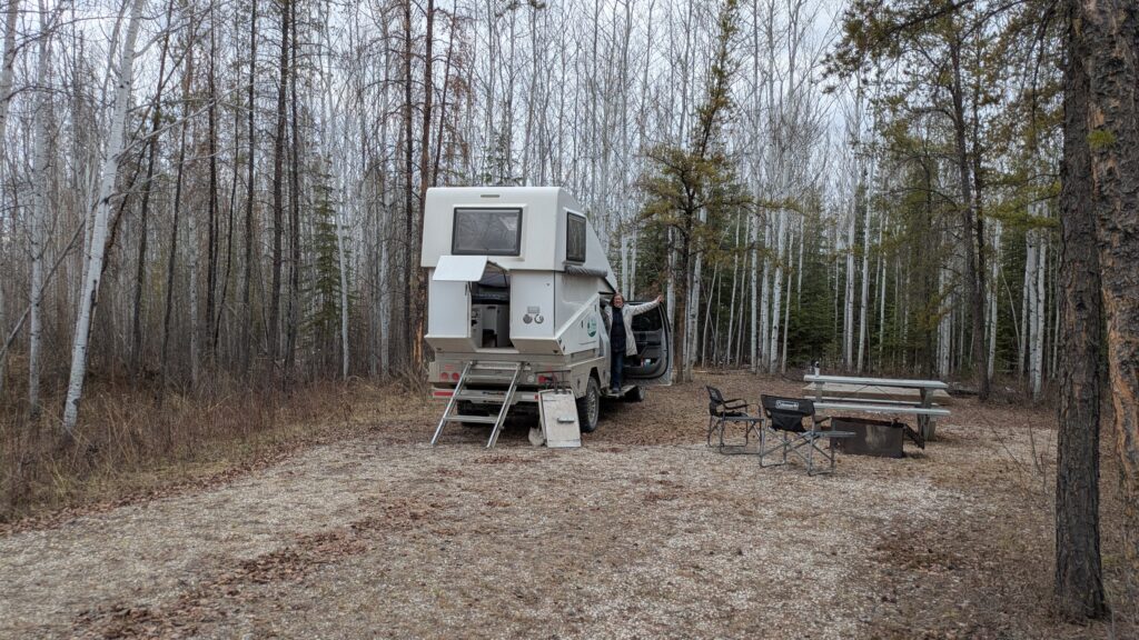
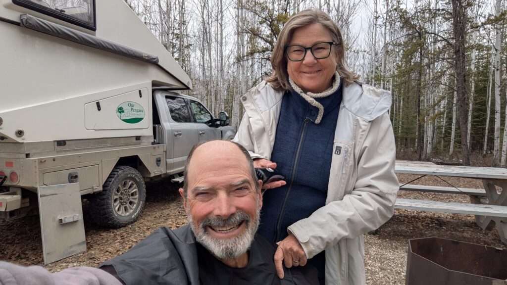
We camped that night near Little Buffalo River waterfall, loving the remoteness, quiet and beauty of this vast land. We planned to explore this area further and dive deeper into Wood Buffalo National Park before heading back to Great Slave Lake.
Just looked up historical average temps for Fort Resolution this time of year. Your weather luck is off the charts.
Yeah, we know. The locals can’t figure out why we are here and we keep telling them it is entirely intentional!