A family affair
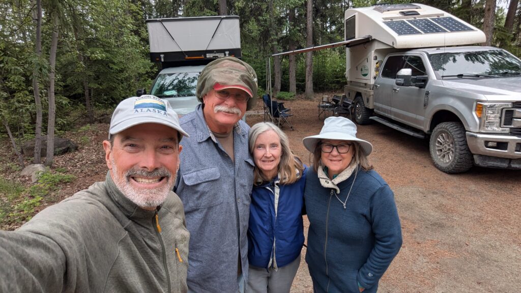
Julie and I both come from big families, with my mother having 17 great grandchildren and our three Aussie kids having something like 24 cousins. So family is big in our big family. And while Julie and I almost always travel alone we make exceptions for family, including a couple of times travelling with my sister Kathy and her husband John. Kindred spirits in the travel world, we make a good foursome which is why we were excited to hear they were seriously going out of their way to join us on the next leg of our travels.
While they drove north at a rapid rate we had two days before our paths would cross and we decided to use them in the best possible way – the Denali Highway. The Denali Highway is a rarity in Alaska because most highways run north-south. But the Denali runs east-west, connecting the two major highways of the state and running through magnificent land to boot.
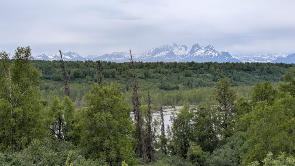
To get to the western terminus of the Denali Highway we had to backtrack about 160 miles on the Parks Highway, which wasn’t a big hardship because it followed the line of the mighty Alaska Range and gave us more tantalising glimpses of where Mt. Denali (or Mt. McKinley, whatever) is if only the clouds didn’t block it’s top half.
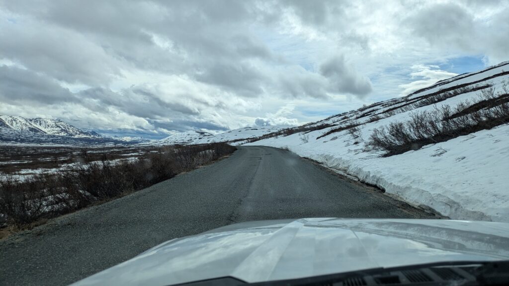
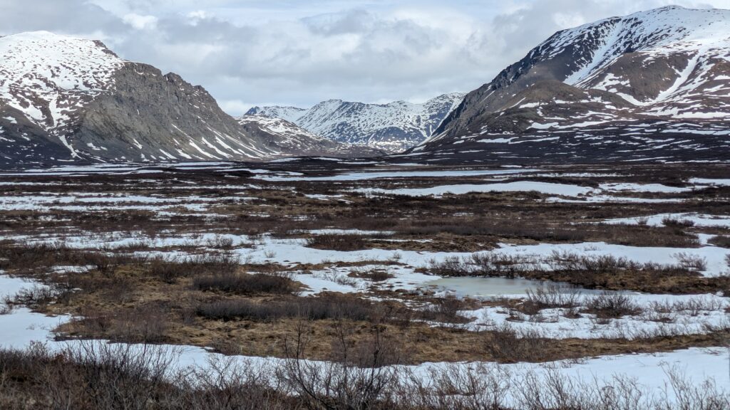
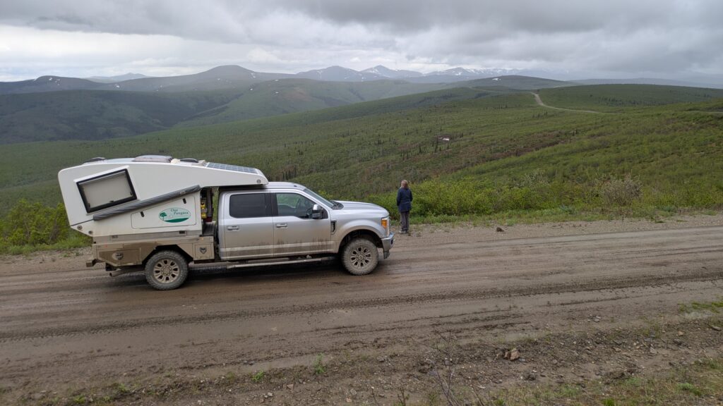
At the town of Cantwell we turned eastward, jumped on the gravel road and began our crossing on the Denali Highway. Surrounded by mountains still featuring snow from the late winter, long open fields of tundra and the braided river down below, this road rates as one of the most scenic drives in Alaska which is saying something.
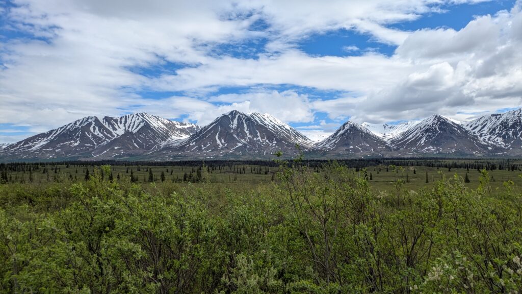
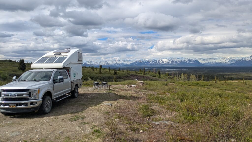
We followed the dusty road, which generally followed the highest ridge between the mountains, stopping for photos and absorbing the scene. We chose a flat area on a little ridgeline well off the road to set up camp for the night, dazzled by the 180° views. It was a little windy, a little cloudy and a little cold but that’s Alaska at it’s best.
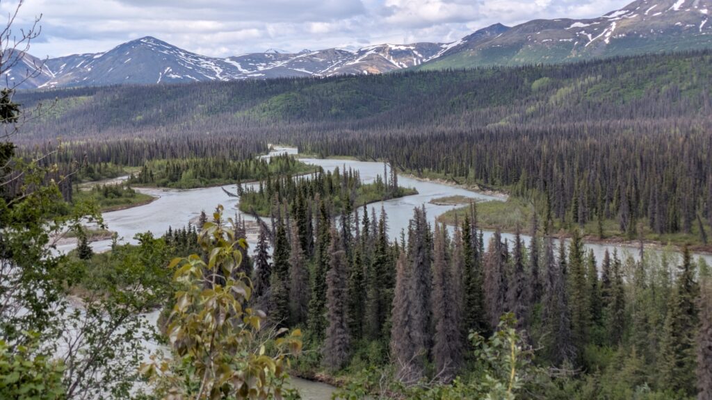
The next day was more of the same, just a wonderful way to spend the morning, travelling through this ancient untouched land, cathedrals of mountains, the carpet of green spruce and birch, the twisting streams down below. We loved it.
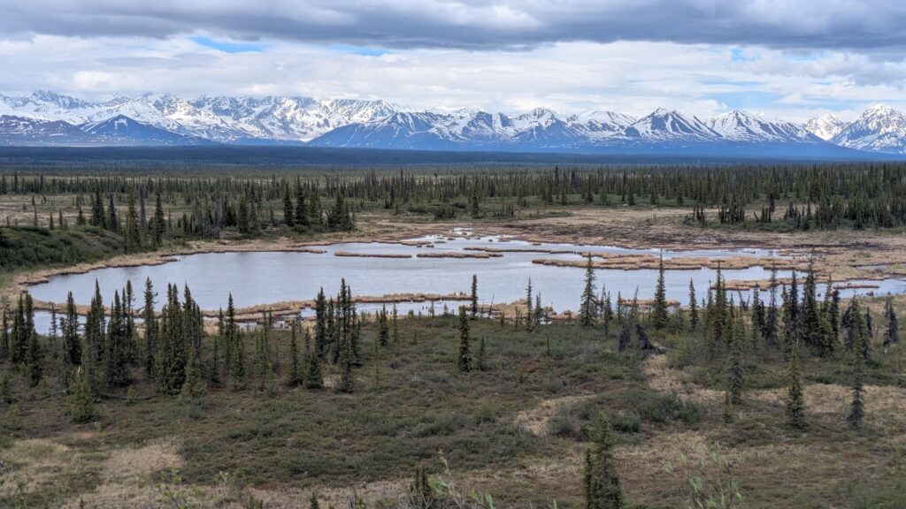
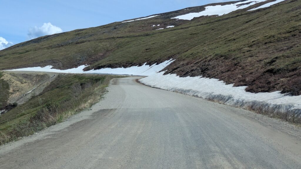
But the Denali Highway just kept giving. We rose higher and higher, the snow-streaked mountains getting closer and closer, until we were above the snow line, crossing Glacier Gap at about 1200 metres (4,000 feet), the scenery just fantastic. As we descended we passed through what is called the Tangle Lakes, a series of glacier-carved lakes nestled in amongst the mountains, some of them now featuring boat ramps and campsites.
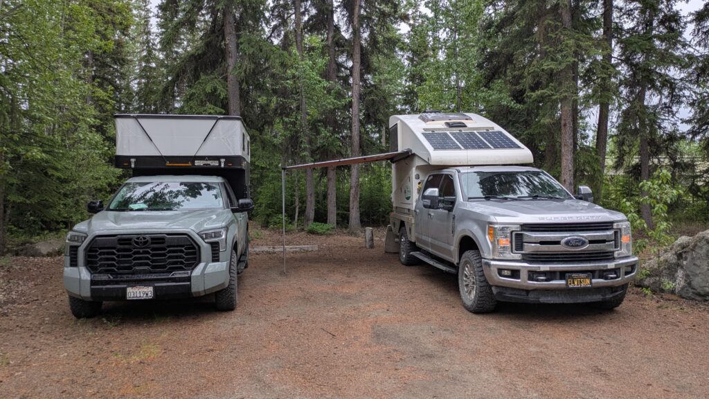
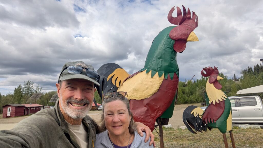
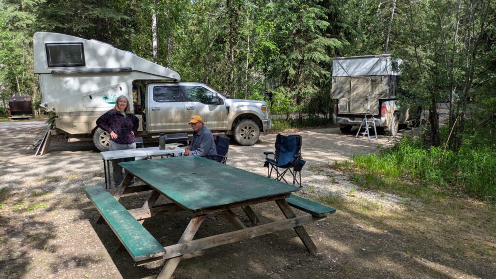
Eventually our road met with a major north-south artery and we zigged south along Lake Paxson, then north until we finally hit the regional hub of Tok. Tok, pronounced toke, is a crucial meeting point for roads from all directions of Alaska and ideal for meeting Kathy and John who had amazingly driven from California in only five days. There were hugs all around as we reunited with highly compatible travellers who happened to be close family.
After camping at a local recreation campsite, and spending the evening under the awning while it rained, catching up on each other’s adventures, we headed northward the next morning with a team plan to drive the entire Dempster Highway through the Yukon Territory and the Northwest Territories all the way to the Arctic Ocean. A sub-theme of this trip is the Arctic Ocean, we’ve already been there once this trip plus a couple of visits to the Bering Sea, and now hopefully we’ll see the Arctic again.
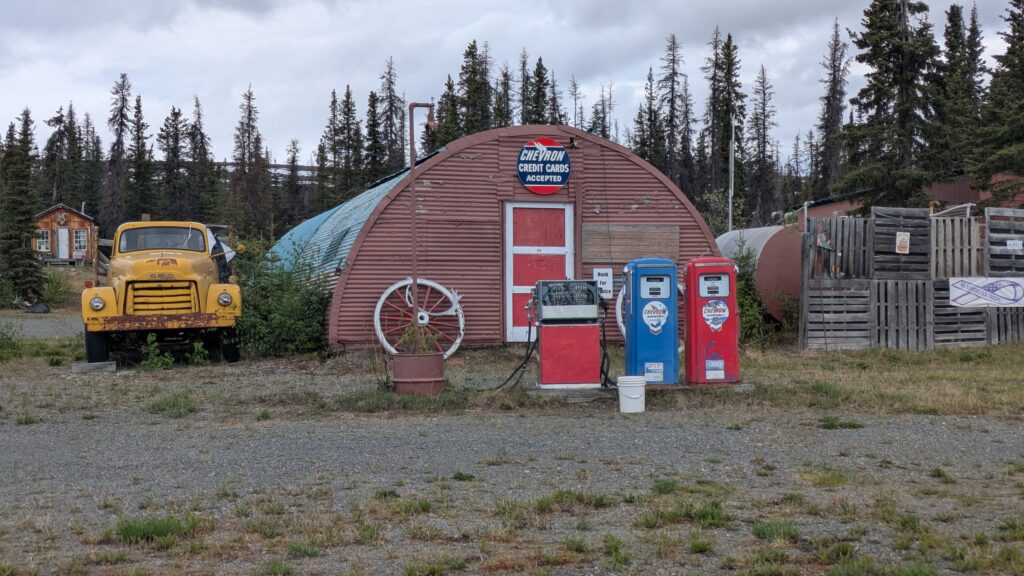
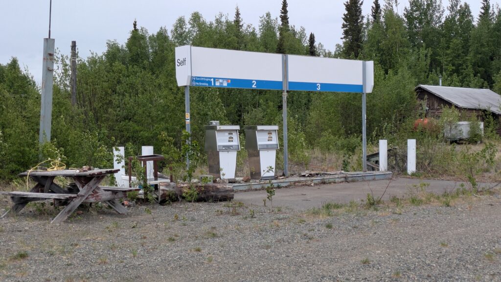
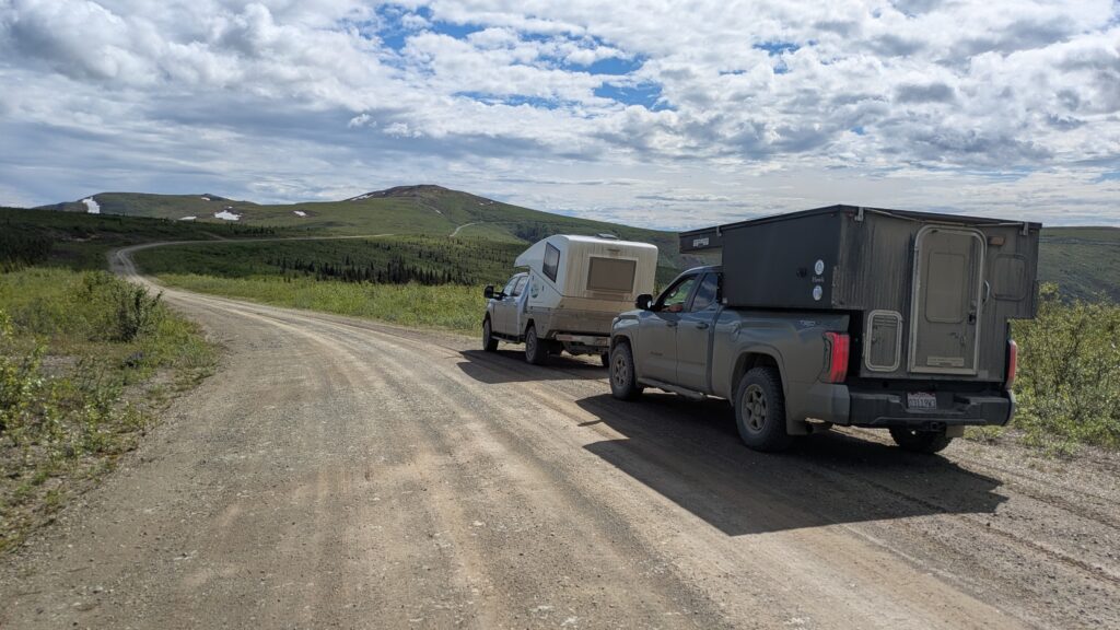
But a big chunk of Alaska – and the Yukon – is between us and the Dempster Highway. The next morning we headed north, a convoy of two well-fitted rigs, through the boreal forest, stopping at the cutely-named town of Chicken. Well, Chicken isn’t much of a town, more a couple of T-shirt shops and souvenirs for passers-by, but everyone has to stop in Chicken.
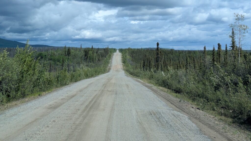
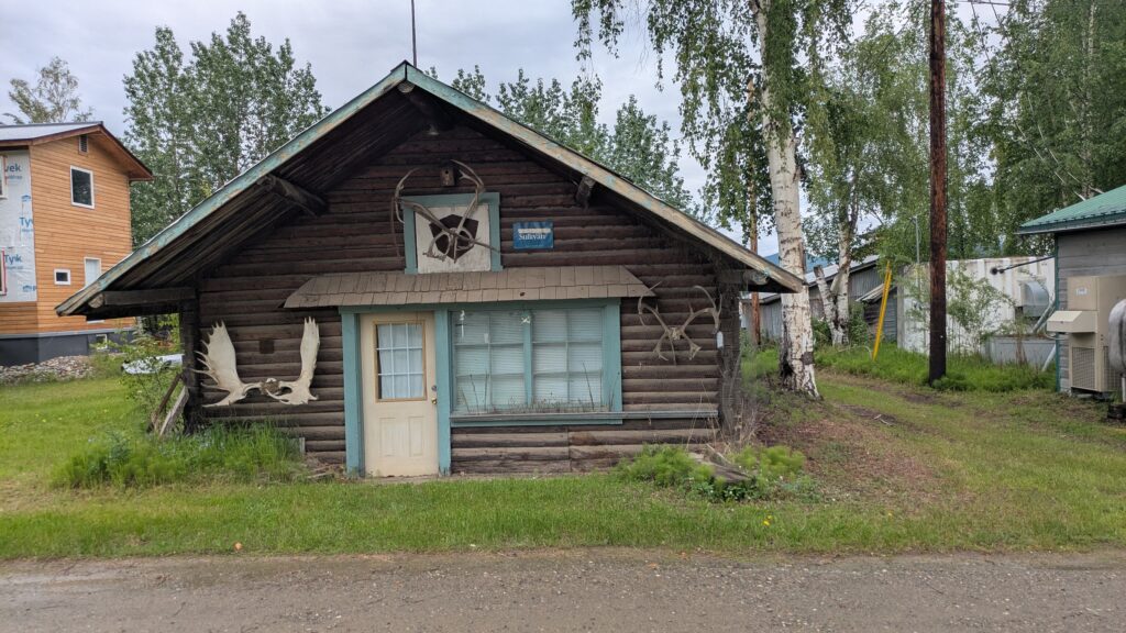
Our target for the day was the small community on the great Yukon River called Eagle. A historic gold mining and military outpost settlement, Eagle these days has less than 80 people there, mostly Alaskan Natives, and is found at the end of a 65 mile (105 kilometre) dirt road.
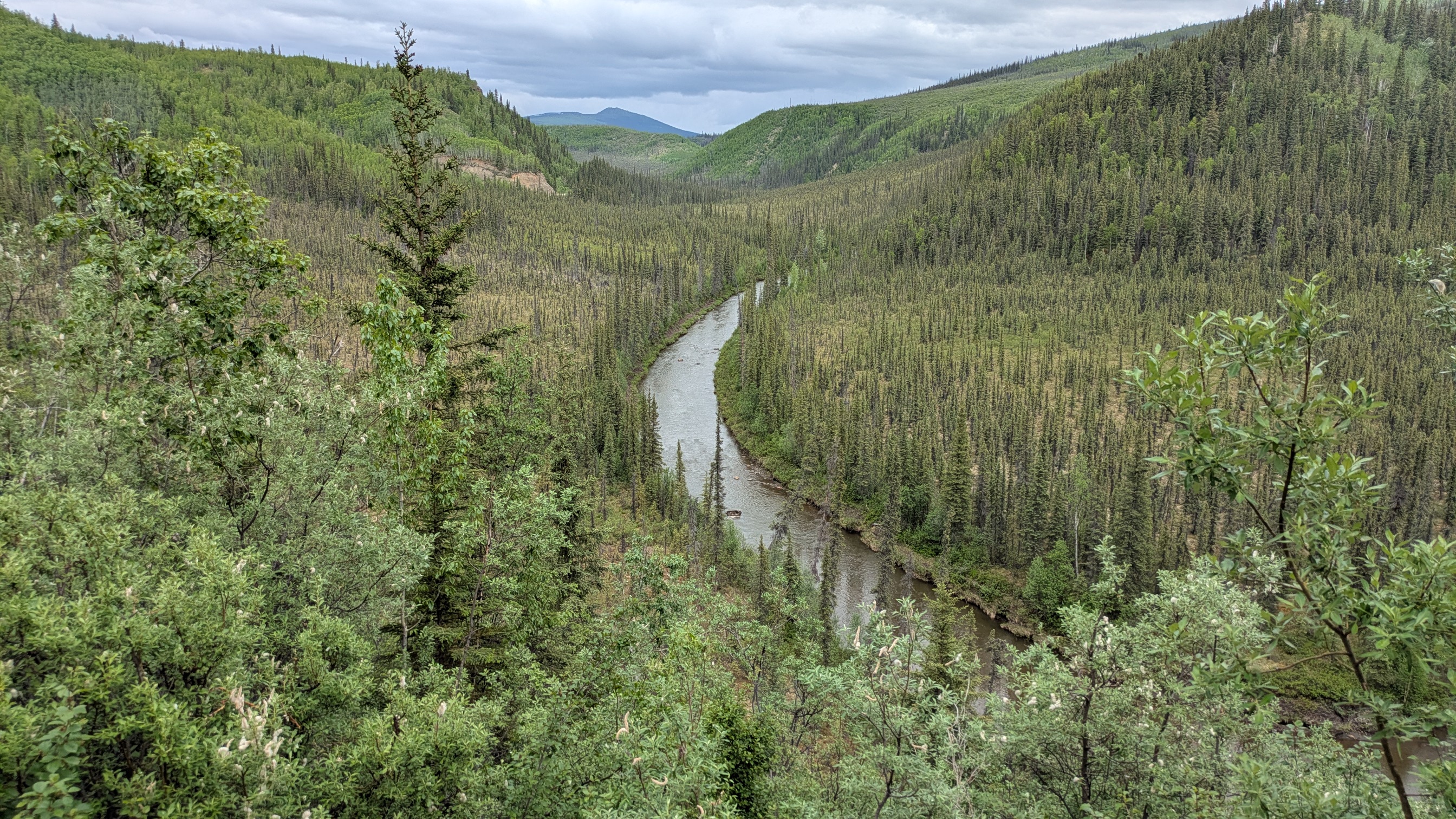
Following this road along the ridgelines, through endless vistas of spruce and birch trees, snow-speckled mountains in the distance was just a joy for all of us. We had left the ever-increasing string of RVs, caravans and fifth wheelers behind, this road was for us and we had almost the whole drive to ourselves.
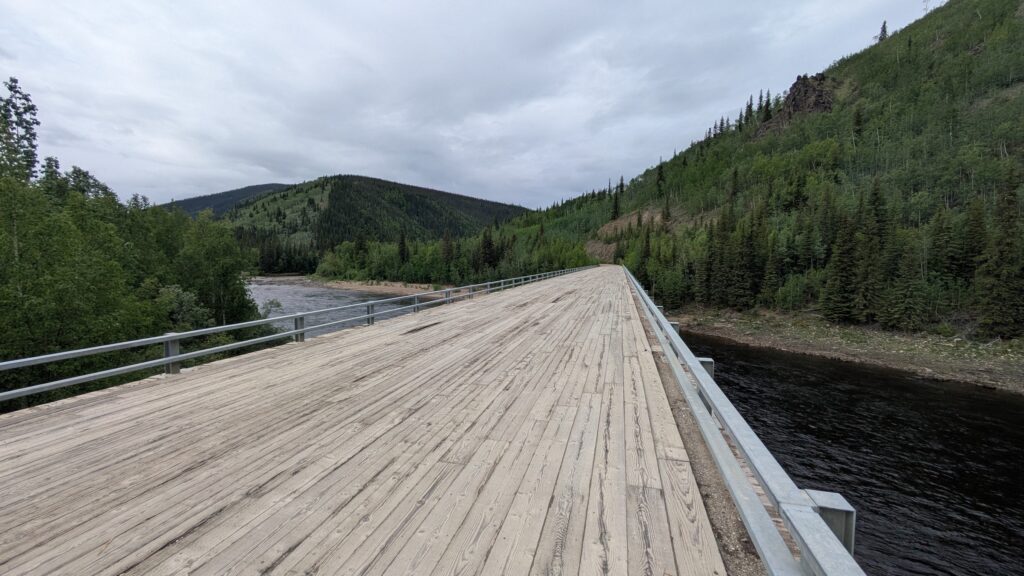
The road took a winding and twisting path down, down, down until we crossed a wooden-planked bridge across the Forty Mile River and wound our way back up above the tree line for more star-spangled wilderness views. Yes, it rained on us for most of the time and the road got a little sticky in parts but we didn’t mind a bit. It was all too good.
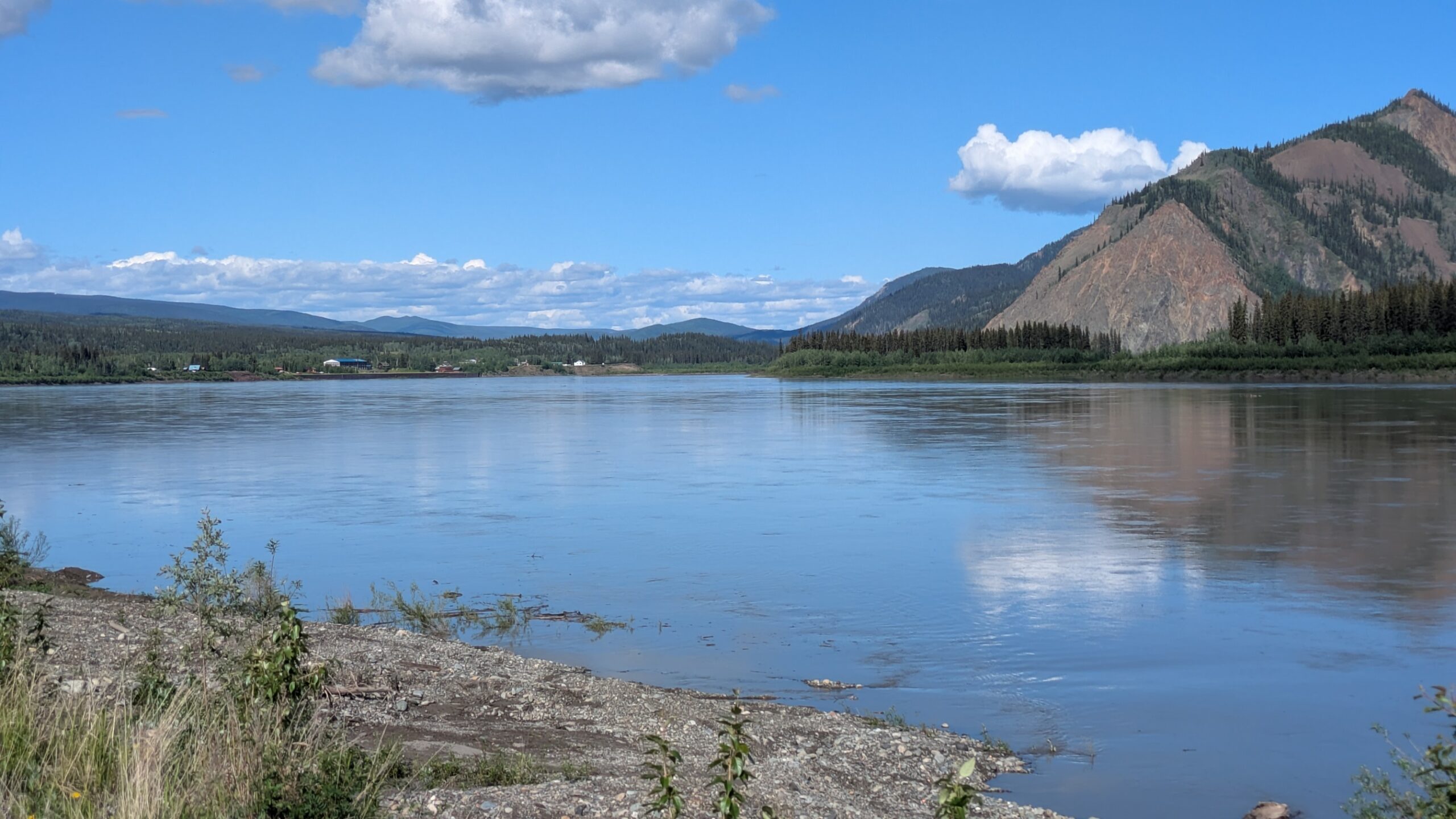
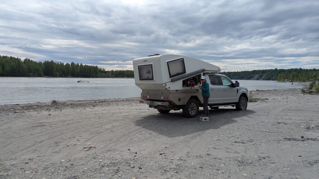
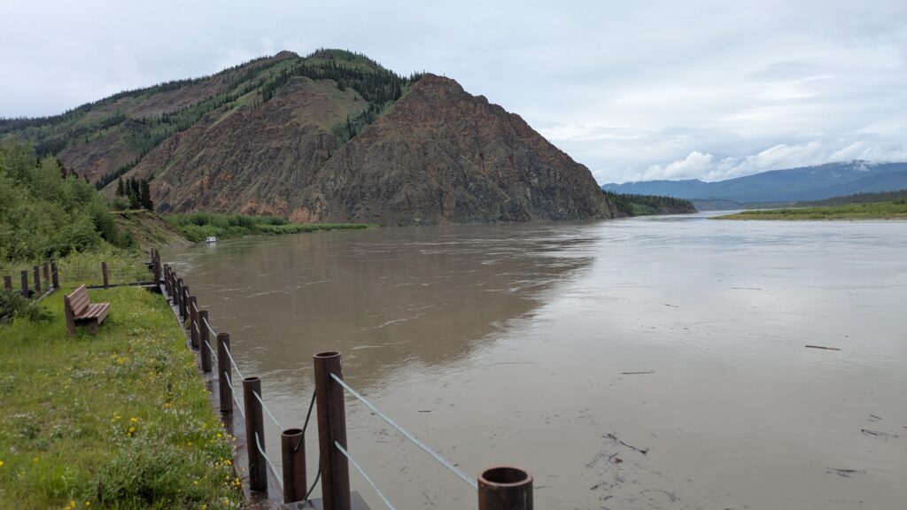
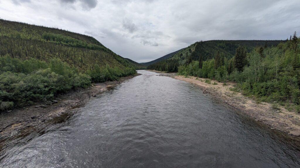
We arrived in the small community of Eagle and drove straight down to the Yukon River, a wide grey mass of swiftly flowing water carrying large fallen logs and anything else it can pick up on the way. The Yukon is a beast of a river, constantly amazing us by scale, speed and importance to this region.
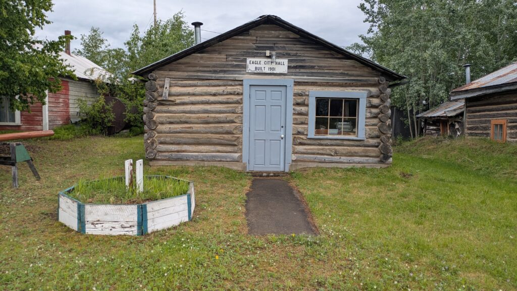
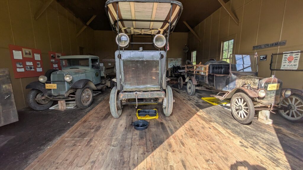
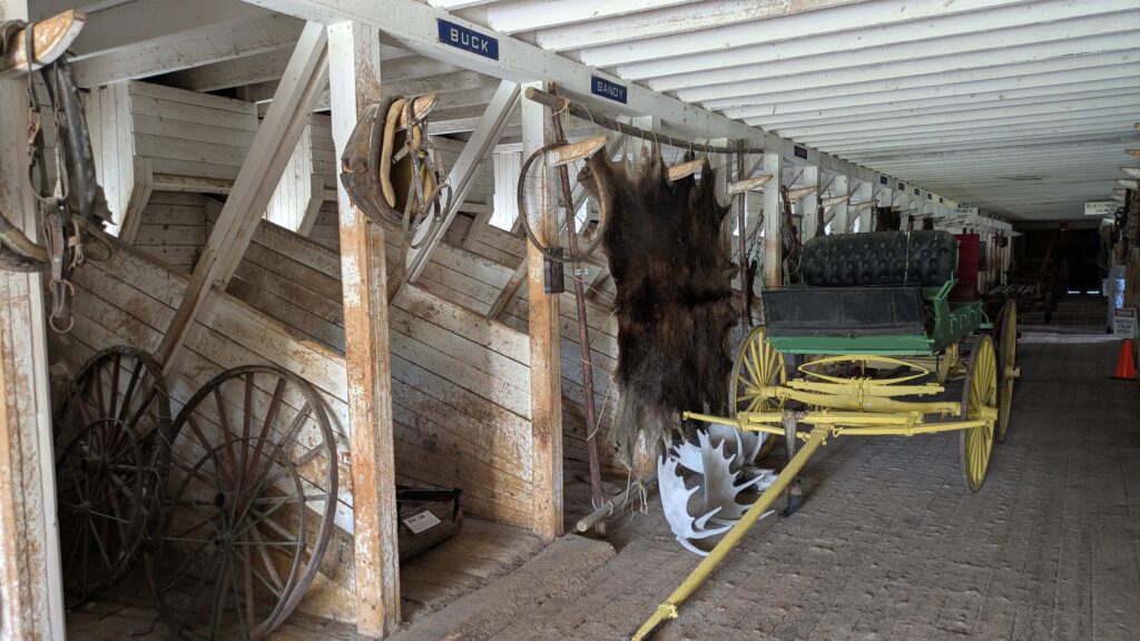
The town of Eagle flourished around 1901 when gold was found in the nearby rivers and people swarmed to this remote town to make their fortune. But miners are an unruly lot, and the authorities quickly built Fort Egbert which had up to 150 soldiers stationed there by 1905 to maintain law and order as well as build a telegraph line.
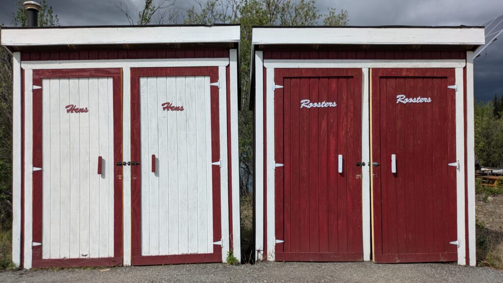
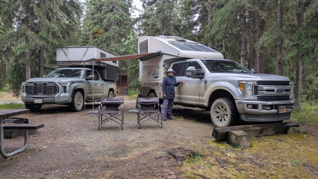
We settled in to the local BLM campground, built a fire and soaked in the beautiful forest scenery. For Julie and I it would be our last night in Alaska, at least on this trip, and we couldn’t help but feel a little sad after all the wonderful experiences we’ve enjoyed there.
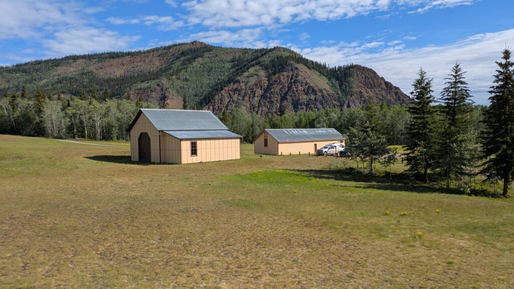
The next morning we went back down to the few buildings that are still standing from Fort Egbert and unexpectedly joined a very small tour of the buildings which featured tools and equipment for living and mining in this harsh and remote environment. Why the government built such a big fort in such a remote place is unclear but they closed it in 1911 after the mining boom ended.
We left Eagle with a heavy heart, partly because Julie declared it her favourite place in Alaska (author’s note: she’s never spent a winter in Alaska), partly because it was on the Yukon River and because we would be passing out of Alaska later that day.
We followed the same road out of town, climbing up and over these beautiful rugged mountains, the rain coming and going, the scenery stretching further than the eye can see. By the time we popped out on the paved road our trucks had a new layer of mud on them and our phones were carrying many more photos.
It wasn’t long before we hit the border and passed into Canada, unfortunately having to offload our firewood we had been carrying. Oh well, no hard feelings Canada, we’ll get more later.
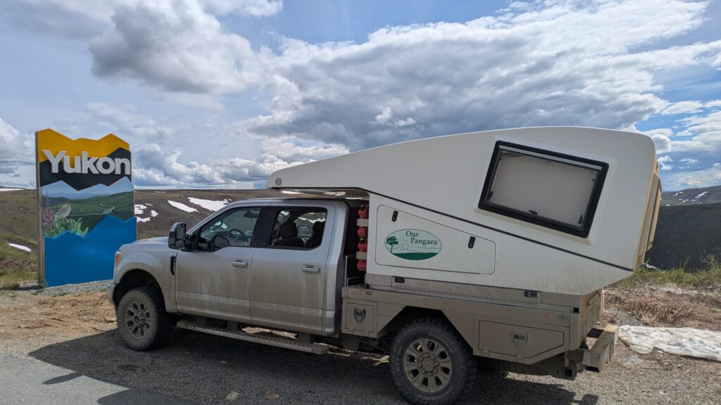
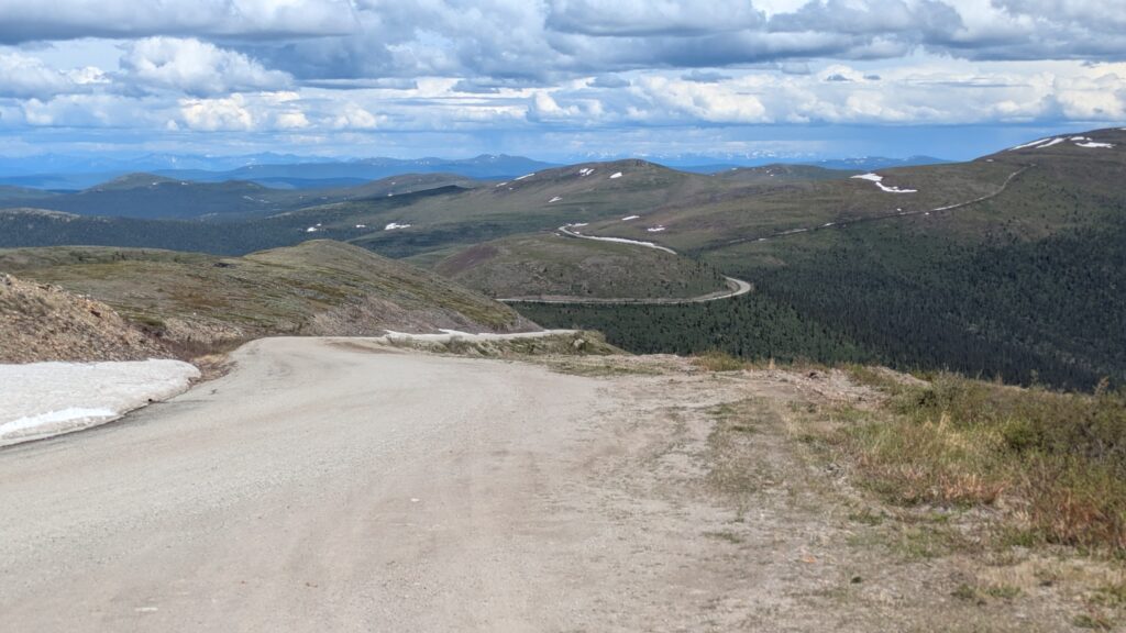
The road from this point to Dawson City is called the Top of the World Highway and it lived up to it’s name, a wonderful journey along the high ridgelines with endless vistas of green in all directions, only broken by patches of snow and rain clouds. The Top of the World Highway was well named and the experience was absolutely wonderful.
We camped for the night on the banks of the Yukon River…again, why not?… just opposite the historic town of Dawson City. Sadly Alaska is behind us but our next adventure will start the following day.
Comments
A family affair — No Comments
HTML tags allowed in your comment: <a href="" title=""> <abbr title=""> <acronym title=""> <b> <blockquote cite=""> <cite> <code> <del datetime=""> <em> <i> <q cite=""> <s> <strike> <strong>