Wide open spaces
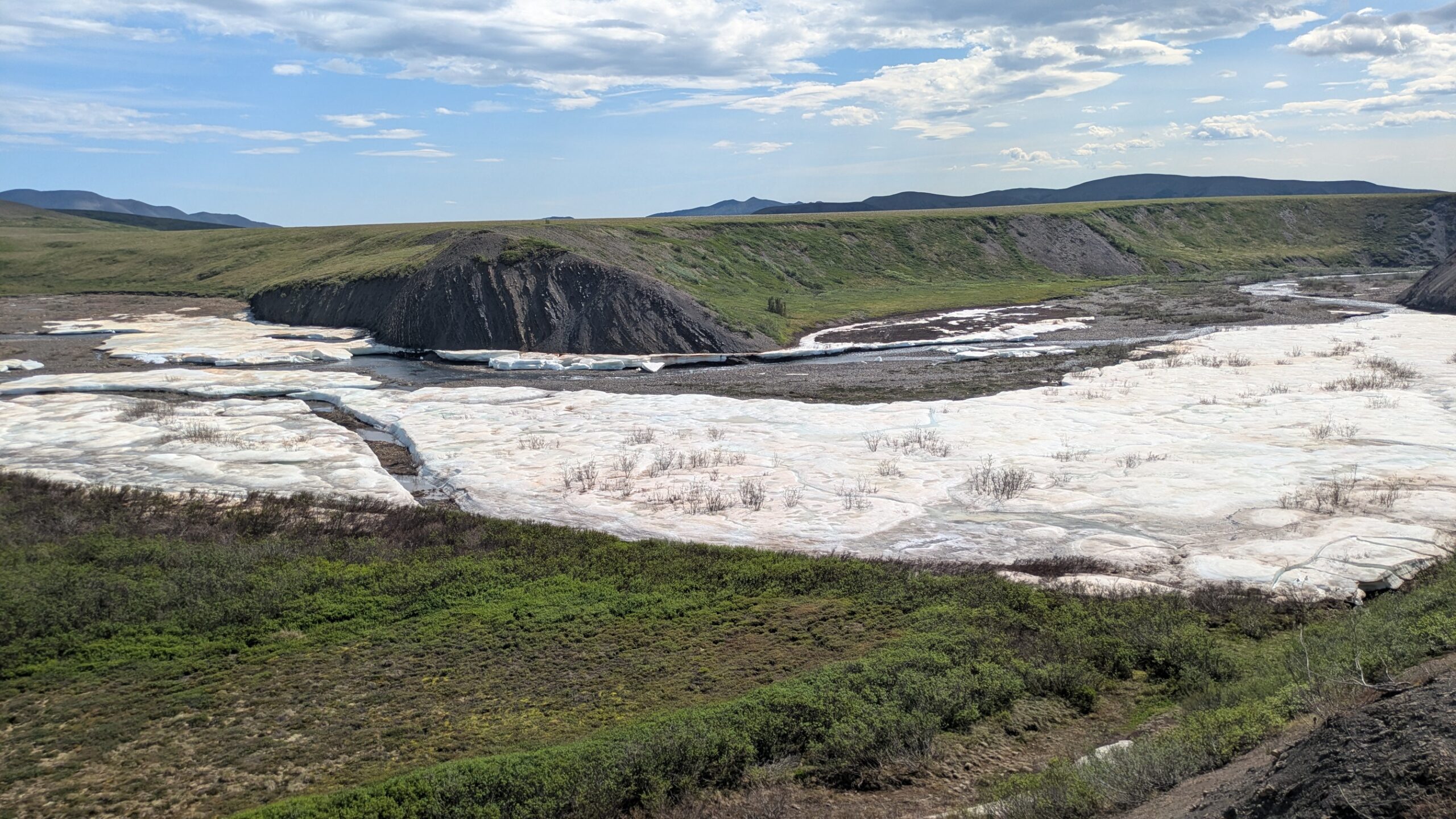
Canada and Australia in some ways are remarkably similar and in other ways completely opposite. Besides both being a constitutional monarchy they are huge landmasses (Canada slightly bigger) with relatively thin populations (again, Canada is a bit bigger) and the countries’ have a sort of kindred spirit together. But while Australia is marked by vast deserts, hot climate and long beaches Canada features endless thick forests, big mountains and a colder climate. Which is why we loving coming here.
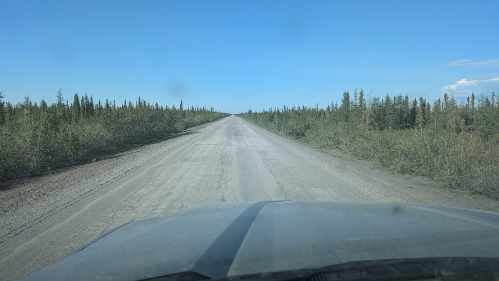
Nowhere can be more different than the shores of the Arctic Ocean in the northernmost reaches of the Northwest Territories in Canada. We had run out of road heading north so reluctantly headed south again, not exactly sure what our plans were but knowing that we had a three day drive to return to paved roads and a semblance of civilisation.
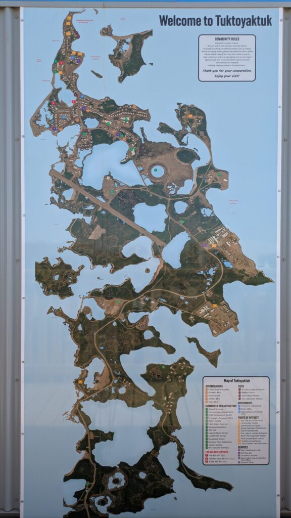
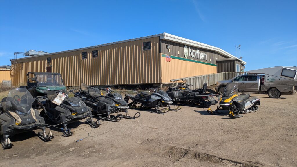
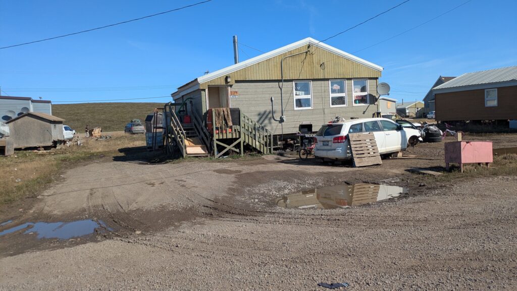
The drive from Tuktoyaktuk on the Arctic Ocean coast southward to the next town of Inuvik was a repeat of the drive north, the dirt track weaved it’s way through an endless maze of lakes across the Arctic Tundra as huge rooster-tails of dust follow every vehicle. Photos don’t do this drive justice but unfortunately due to the aggressive mosquitos we had to enjoy the whole thing from the safety of our vehicles.
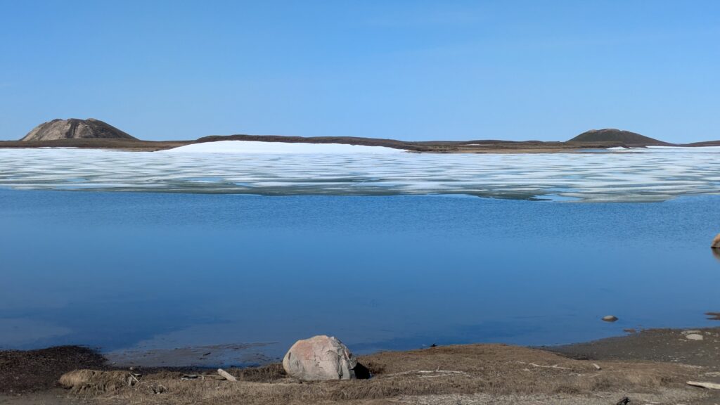
At Inuvik, a good sized town of over 3,000 people, we refuelled and picked up a few supplies, including an ice cream as reward for coping with unseasonal weather around 26°C (78°F). We drove down the road until we found Gwich’in Territorial Park which offered grand views of Lake Campbell below but minimal protection from the man-eating mosquitos.
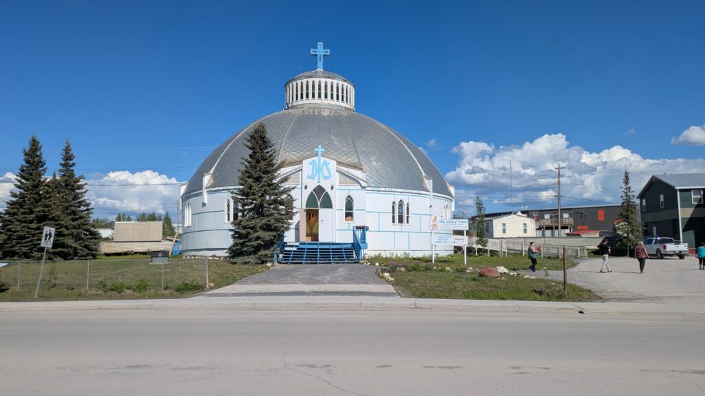
When the four of us get together the nights are full of fun while we play cards, even if we have full nets on while the mossies are at their most aggressive (which is almost always). But the mornings seem to be worse as they wake hungry for more blood so we quickly eat and pack up before hitting the road again.
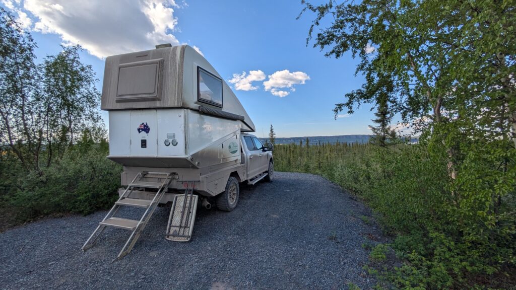
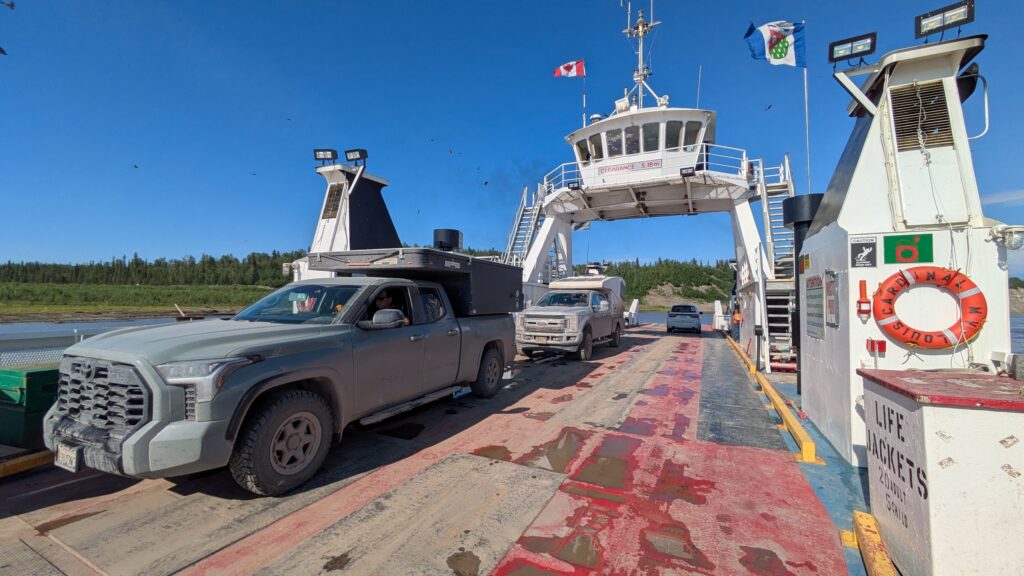
Our travel southward was equal to our drive northward…with a slight twist. When we arrived at the ferry to take us across the wide Mackenzie River we asked the ferry master if we could stay on and be dropped off on the other side of the converging Red River to the small indigenous community of Tsiigehtchic. Tsiigehtchic, which is pronounced just as it’s spelled if you ignore the first T and slur your pronunciation for the rest of it; has no roads to it and sits at the convergence of these two rivers.
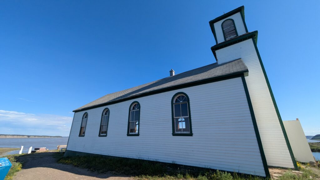
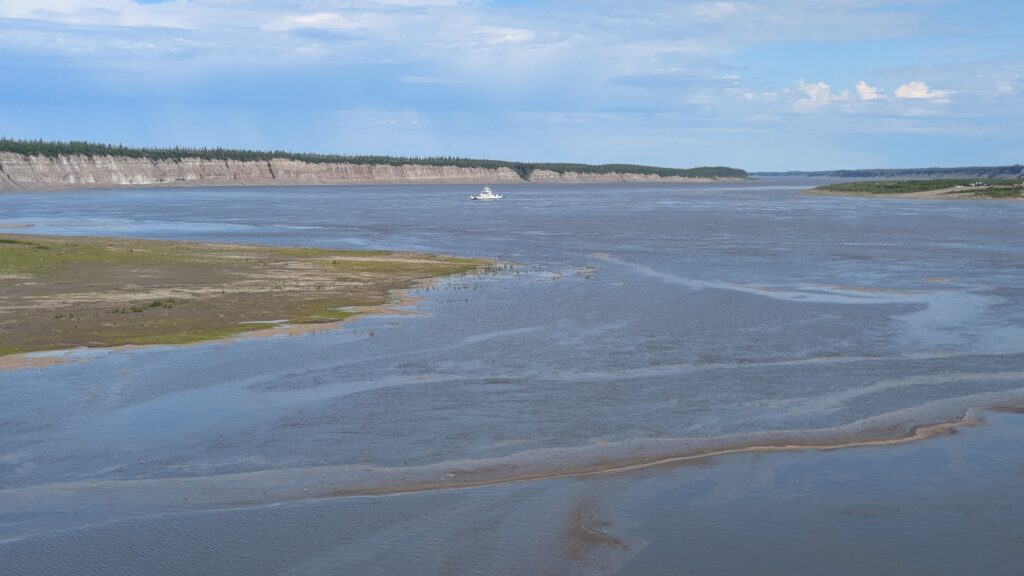
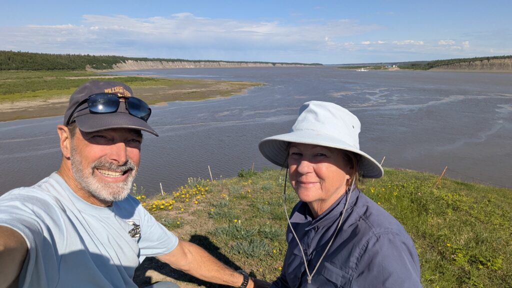
We drove up to this small hamlet, as they call it, which in summer is home to about 40 families if you believe the exaggeration. The town relies on the ferry in the summer to connect it to the world. We drove around the almost abandoned town, the highlight being when we stopped at the beautiful old church perched high on the hill overlooking the merging of the two rivers. We plopped down on the benches and paused for awhile as we took in this magnificent scene in such a remote and wild land. Go Tsiigehtchic!
We drove on to the Peel River, where we had had such drama only a few days ago, and found the ferry waiting for us, not another soul in sight. On the other side and up to the high ridge we stopped for lunch and to admire the vastness of the Yukon and all it had to offer.
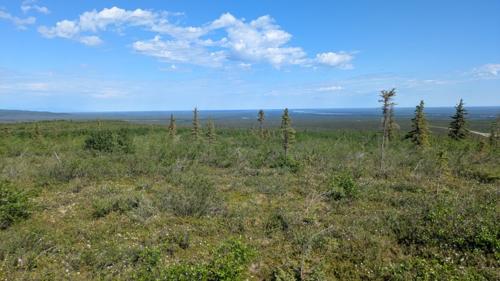
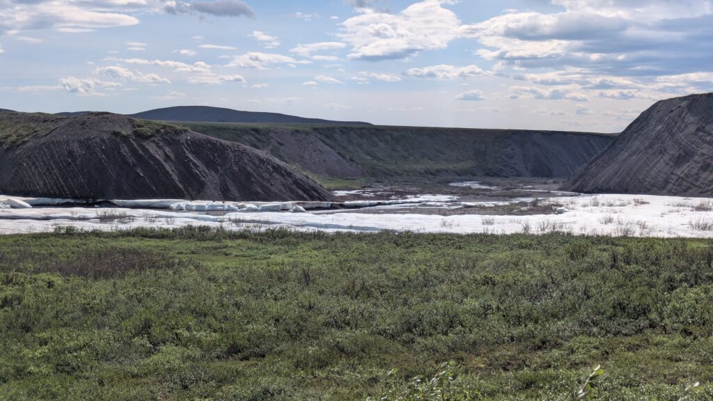
Through the mountains, over the tundra, across the many streams and eventually into Eagle Plain, the unofficial halfway point of the Dempster Highway and the only real refuelling station, where we topped up our tanks and took momentary respite from the dust and rattle of the road. We only drove another 20 kilometres before calling stumps in a huge abandoned gravel pit, grand views down below, minimal respite from the relentless blood suckers.
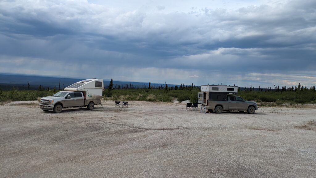
The next morning we were treated to a large male moose with a full set of antlers ambling down the road in front of us (no photos) before continuing our southward journey. At each rise along the way we gained unlimited views across the thin boreal forest rolling over the mountains beyond infinity. These truly are the wide open spaces.
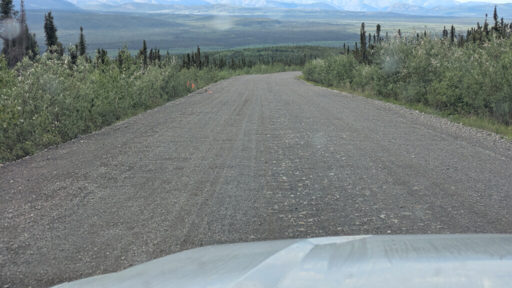
But as we dropped down off the Eagle Plain the drive became more intimate – the road closely followed the Ogilvie River and Engineer Creek, it weaved it’s way through ancient gravel granite mountains and we had more snow in the hidden crevices.
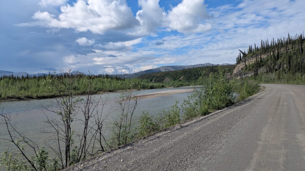
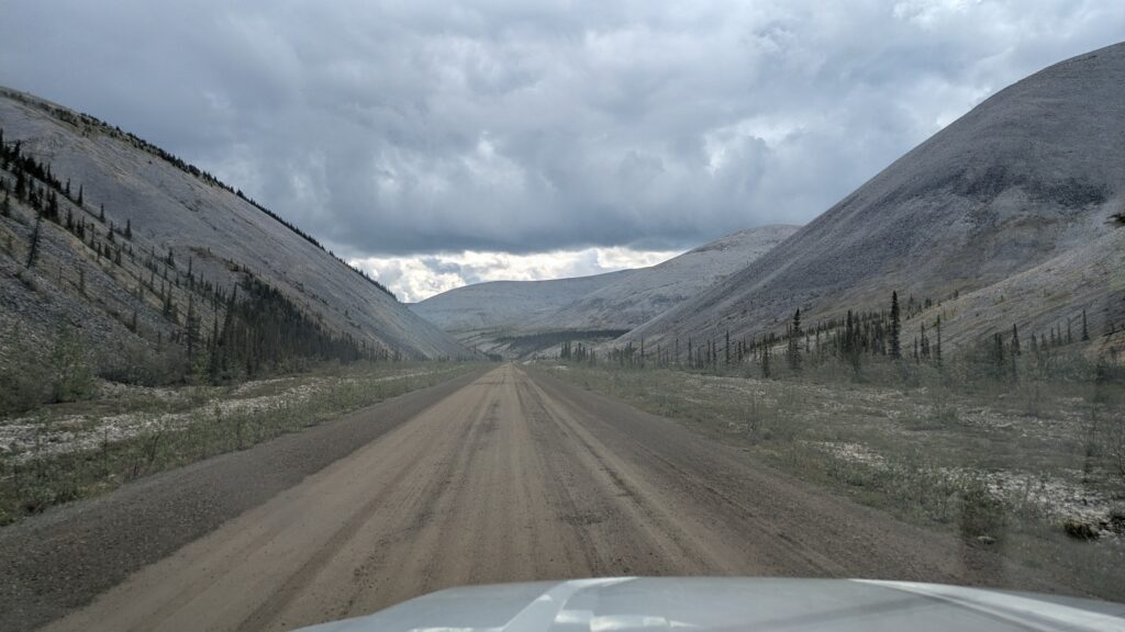
We drove through probably ten different rain squalls throughout the morning as the sun and the clouds did battle for supremacy. The rain was good in that it kept the dust down as long as it didn’t turn our track into goo.
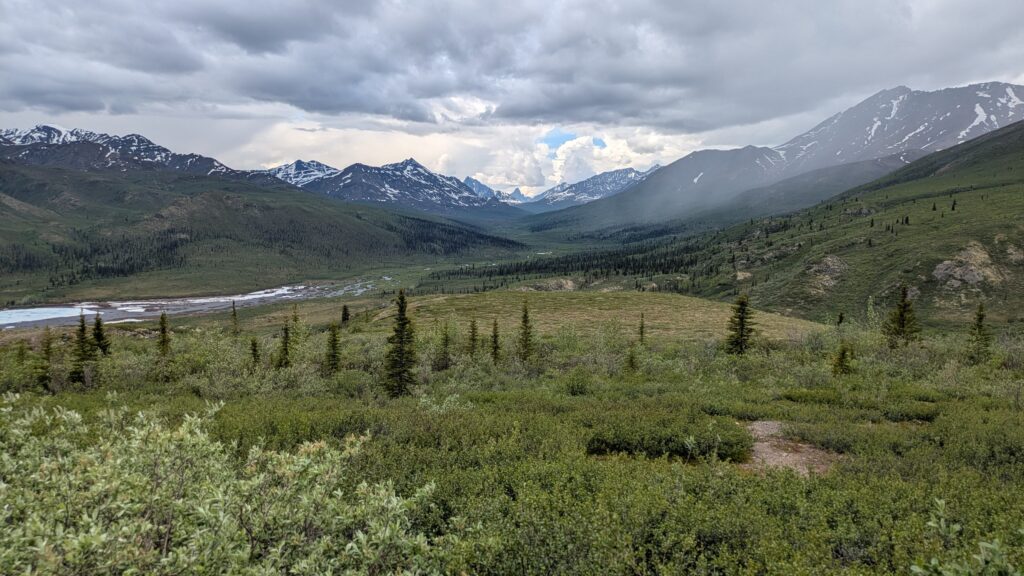
In Tombstone Territorial Park, where the clouds had been low and the rain steady when we passed through the other day, was showing it’s mountain peaks, including the handsome Mt. Tombstone. We took a short walk up the Goldensides trail to take in even more views. Further south we stopped by a beaver pond and watched a large brown beaver swim around between lodges. Tombstone Territorial Park has a lot to offer and especially some beautiful snow-streaked mountains.
We finally reached the end of the Dempster Highway and back on the paved road. It was a pat-yourself-on-the-back moment, to complete the 1800 kilometre (1,120 miles) round trip across this vast wild land and camp on the banks of the Arctic Ocean to boot.
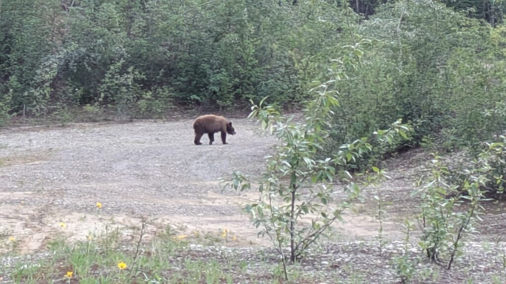
We refuelled and drove a short ways down the road before finding an obscure old gravel pit for another wonderful night in the Yukon. Yes, the mossies found us and they were annoying but we’re tougher than they are. And yes, a black bear came into camp, probably wanting to get a closer look at Tramp, but a few loud “Hey bear” calls and he seemed to lose interest and wander away.
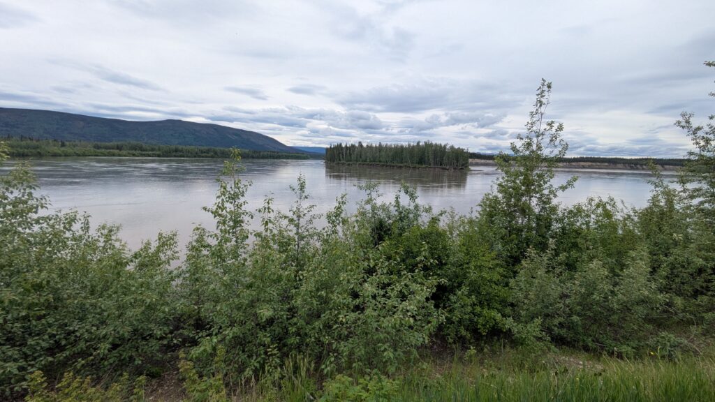
The next morning we followed the road through yet more boreal forest until we hit Stewart Crossing, a small community where the bridge crosses the surprisingly large Stewart River. We veered left instead and followed the river northward to the town of Mayo on what is called the Silver Trail where prospectors in the early 1900’s were looking for gold and found silver instead.
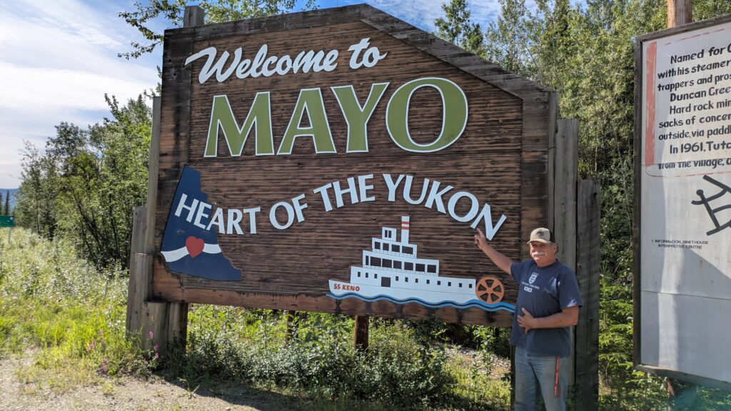
Mayo turned out to be the big smoke with 500 people but after a quick gander at their museum and lunch on the banks of the river we headed further north, following an unexpectedly rough and muddy trail another 50 kilometres until we hit the historic little town of Keno.
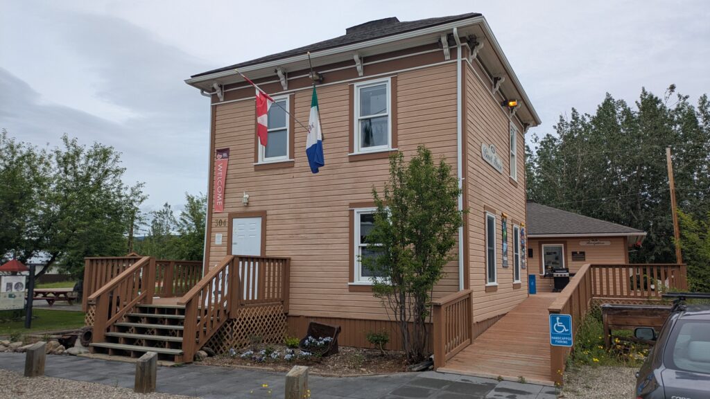
Keno became the centre of the silver mining era in the first half of the 20th century, during which time it grew to over 800 people despite being connected to the outside road by ice road in the winter. Today Keno has only about 20 residents but a number of the original buildings still exist, including an outstanding little museum which documents the history of the mining and what life was like in this uber-remote community.
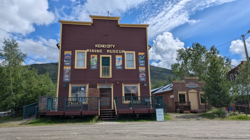
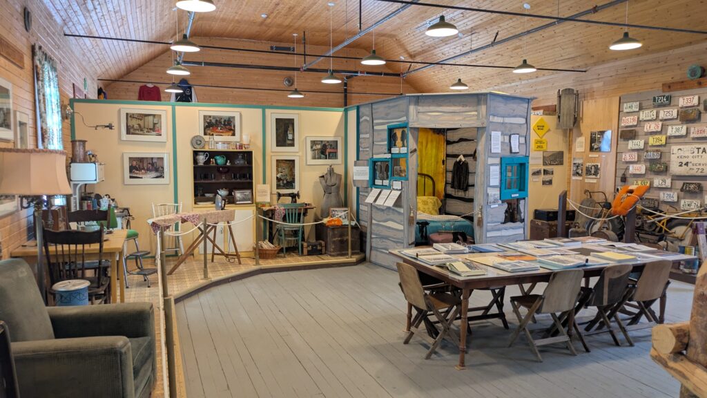
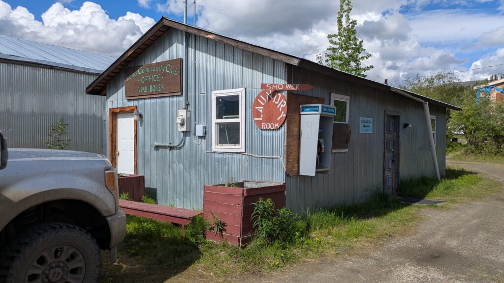
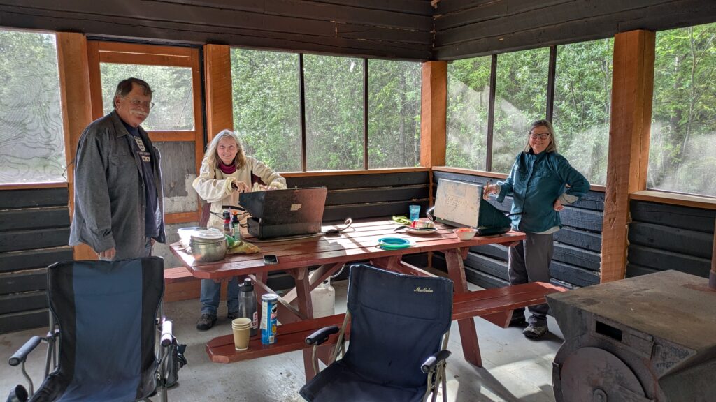
We immediately liked Keno and lingered for a shower in their public laundromat before setting up camp in their small campground. The overriding appeal of this campground is that it had a screened shelter shed which gave us wonderful protection from the hordes of blood-sucking locals who were keen to welcome us to their home.
Comments
Wide open spaces — No Comments
HTML tags allowed in your comment: <a href="" title=""> <abbr title=""> <acronym title=""> <b> <blockquote cite=""> <cite> <code> <del datetime=""> <em> <i> <q cite=""> <s> <strike> <strong>