The Dempster
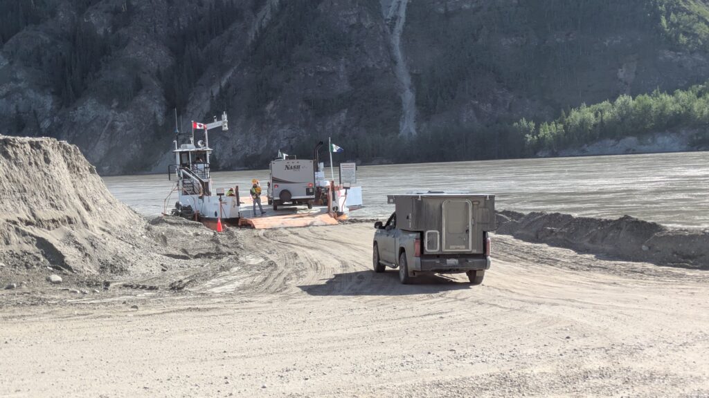
It’s always a good way to start a day if you’re using a small ferry to cross the mighty Yukon River. And that’s exactly what we did after spending the night around a fire playing cards only a few metres from this fast-flowing mega-river. Having successfully crossed, we drove up the embankment of the river and parked opposite the general store of one of the most historically significant and well-preserved towns of the gold rush era – Dawson City.
When gold was discovered on the nearby Klondike River in 1898 hopeful miners from all over the continent flocked to this small community built on the confluence of the Klondike and the Yukon Rivers. Dawson City mushroomed into a major town, booming with people coming to seek their fortune and others who made their money supporting the miners. Dawson became such a boom town it once sported seven daily newspapers.
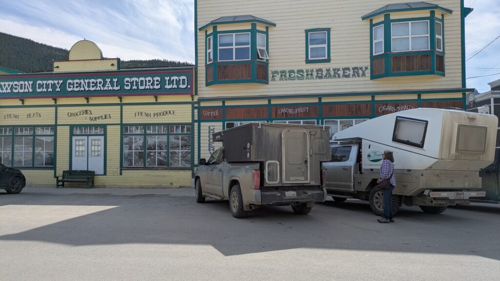
The best part of Dawson today is that so many of the buildings from those days have been preserved and still in use, including the dancehall saloons, mercantile centres and wooden footpaths (sidewalks). The town still retains a pioneering vibe despite the steady stream of RVs and four-wheel drives that fill it’s parking areas. We did some chores, filled everything that was running empty and had a good walk around. Dawson is a fun place to visit – here’s a few photos of their buildings.


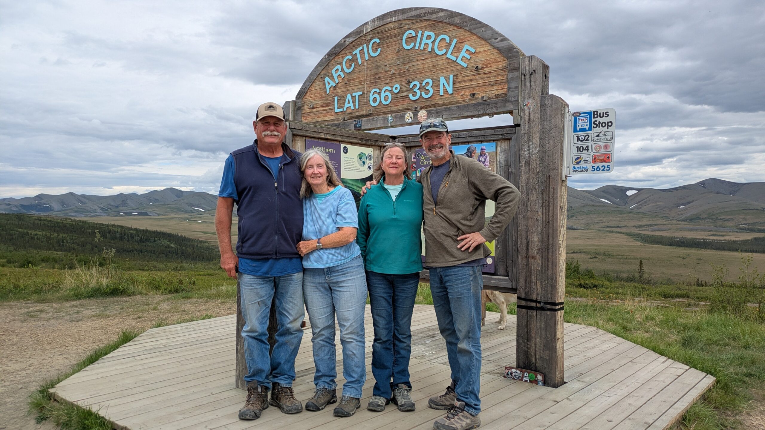
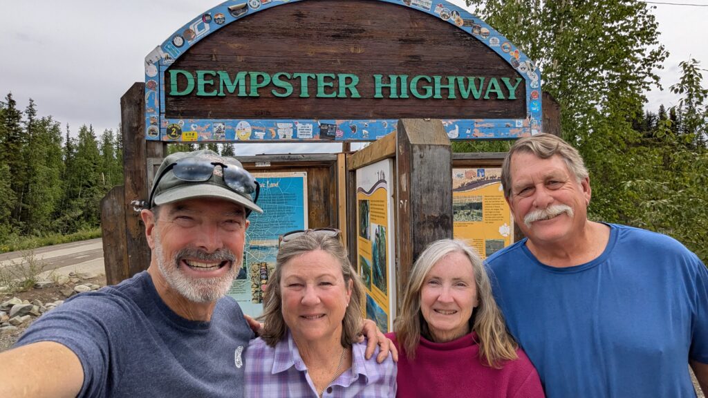
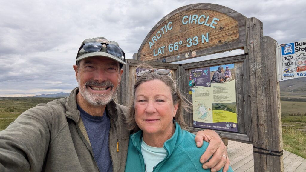
But our new mission was the famed Dempster Highway, also just known as the Dempster. The dirt and gravel Dempster Highway runs north-south from the paved highway south of Dawson, bisecting the Yukon and crossing the far northern stretches of the Northwest Territories for almost 900 kilometres (540 miles) until it finishes on the shores of the Arctic Ocean. And the four of us were determined to get there.
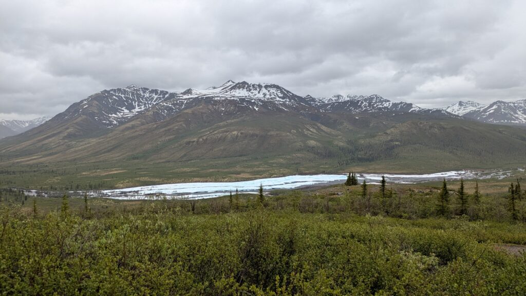
Our first stop was Tombstone Territorial Park, a huge expanse of land that covers the Tombstone Mountains and adjoining area. We were too early in the season to see the famous herds of migrating caribou but we did take in the beaut mountains with their streaks of snow, the rivers still lined in thick ice and the arctic tundra that blankets the higher sections. This is raw untouched wild land, absolutely magnificent, just the way it’s always been.
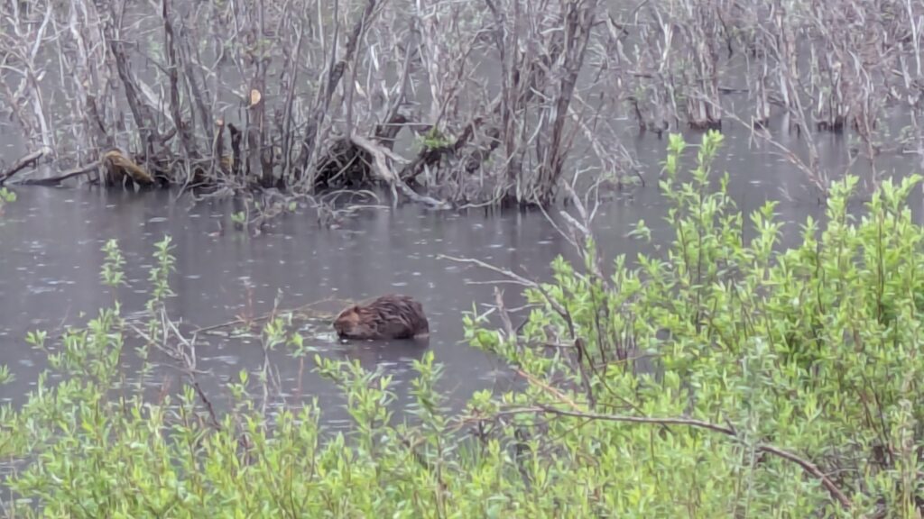
We camped that night on the edges of the Tombstone River, still largely iced over, cold and drizzly. At almost 1,000 metres (3,300 feet) we were out where wild things live.
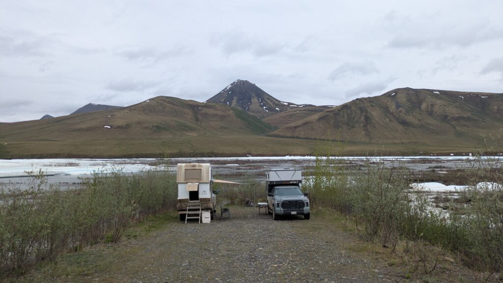
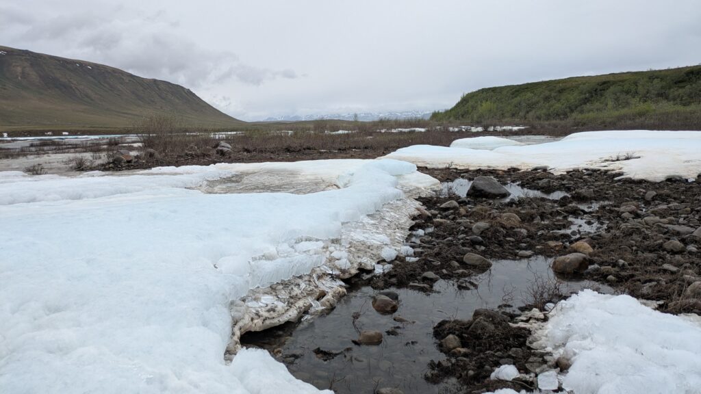
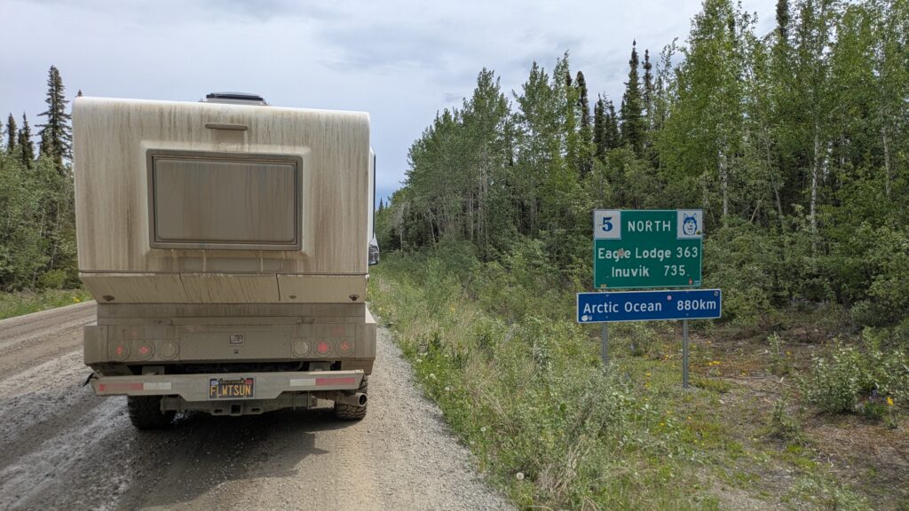
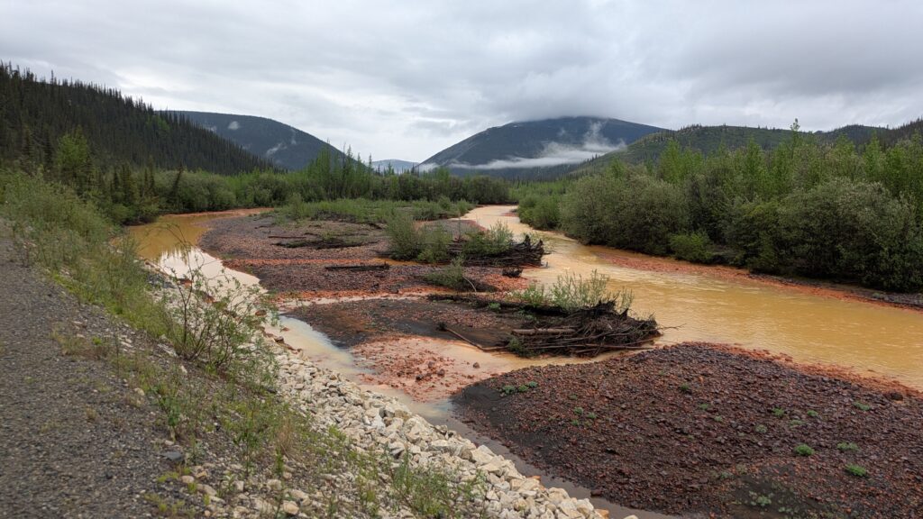
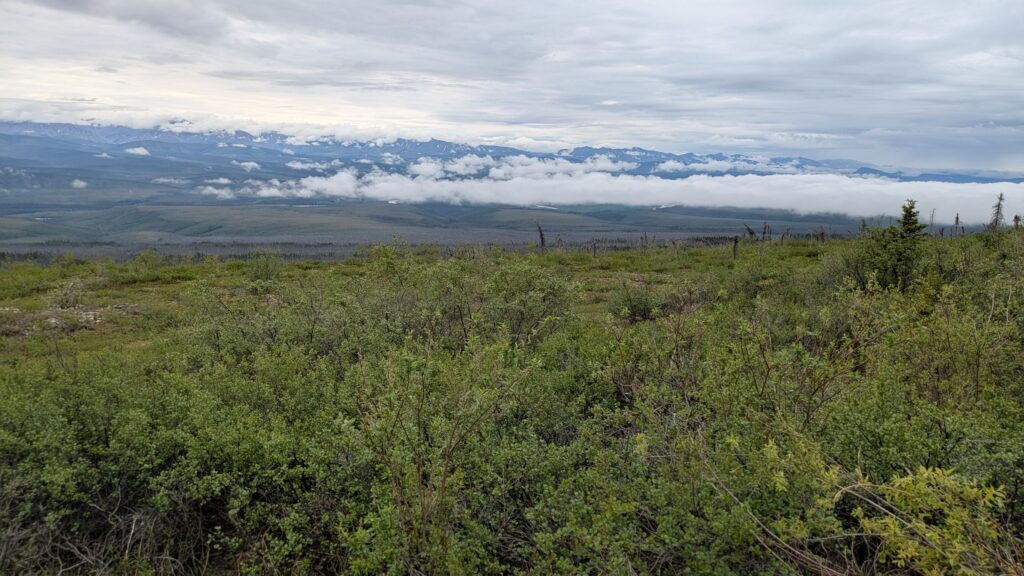
The Dempster Highway is an awesome stretch of road passing through a remote and wild part of the continent. We followed the gravel through this wonderful territory, the Arctic tundra covering the invisible permafrost, mountains striking upwards, rivers flowing through. At one stage we climbed up onto the Eagle Plains where the Black Spruce meets its match and the horizon moves far away.
The refuelling stop at the halfway point of this journey is at a lodge called Eagle Plains and about five kilometres before getting there I heard the unmistakable POP of my right rear tyre releasing air. The slow leak allowed me to limp into the garage, a mixed feeling of being pissed off an expensive tyre gets a puncture but grateful that out of a road running 800 kilometres it happened five kilometres from the only repair shop.
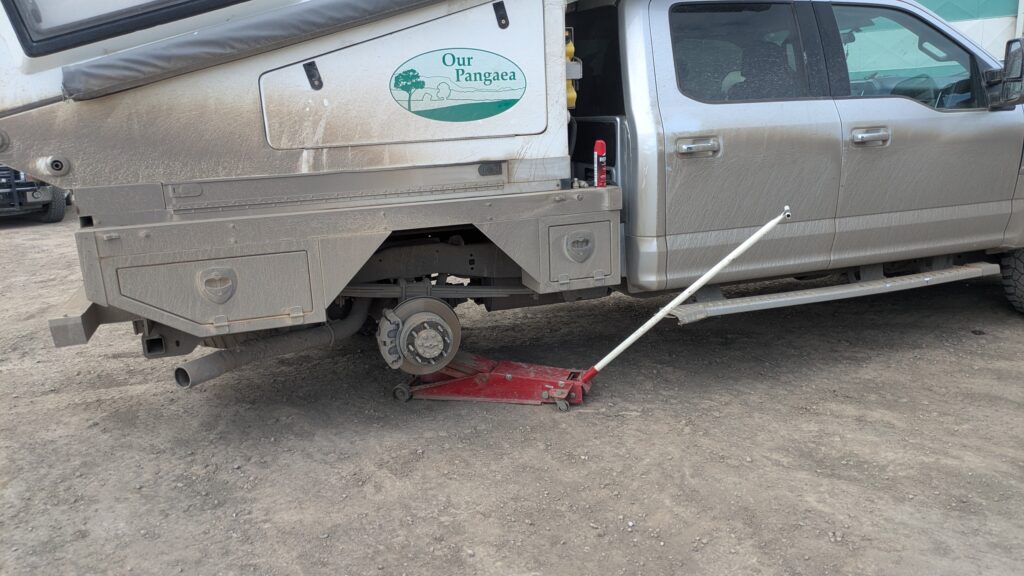
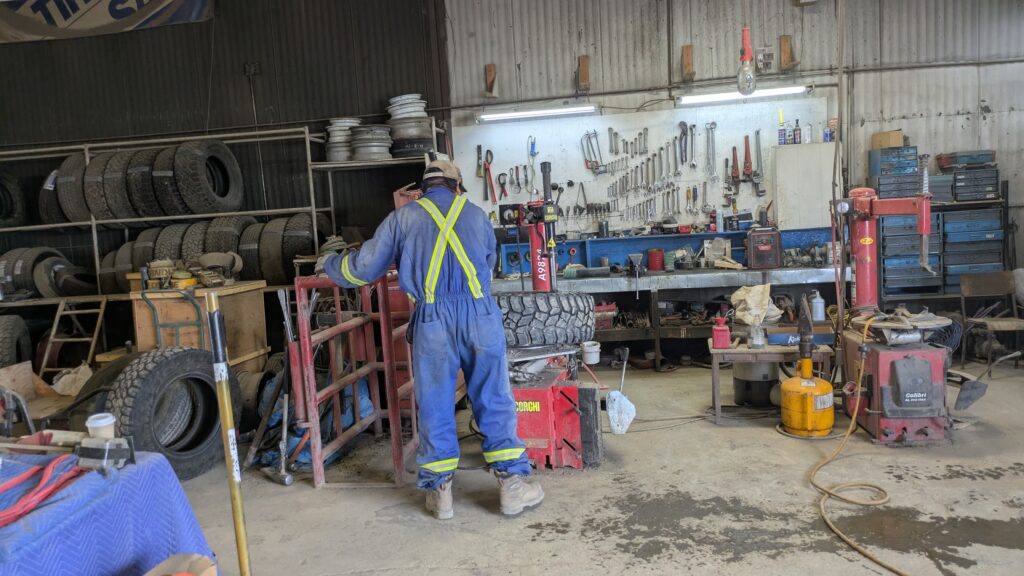
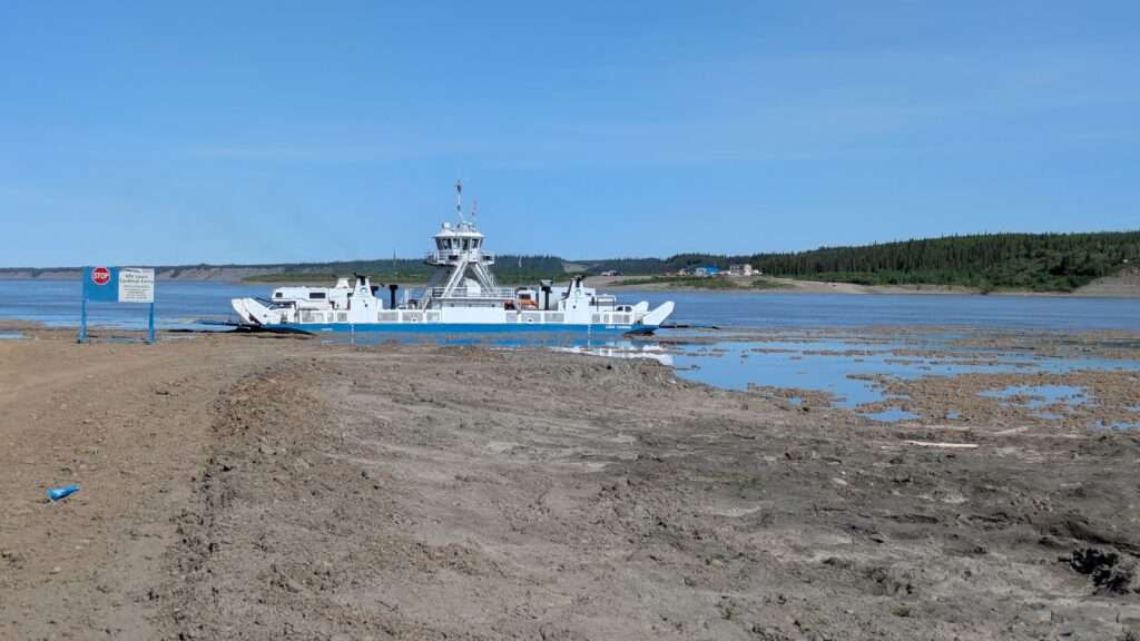
After Garrett patched the tyre and there were grateful hand shakes all around we pushed ever northward, eventually hitting the first of two river crossings that require a ferry. The Peel River was apparently too high from recent snow melt for the ferry to run and we pulled up in a long queue of campers hoping the problem would fix itself soon.
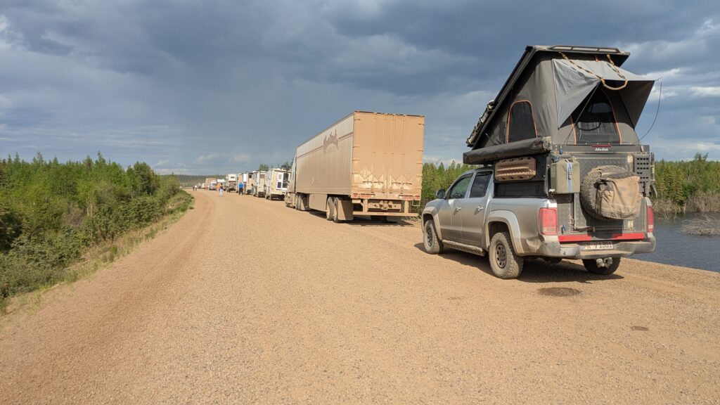
And as it happened, nothing happened, so we camped the night in the middle of the Dempster Highway, having a fire to cook dinner and even playing cards that evening. The mosquitos were ferocious but we put up a good fight.
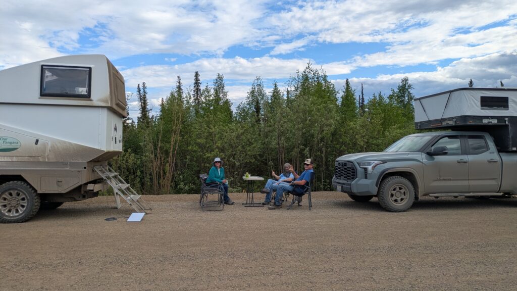
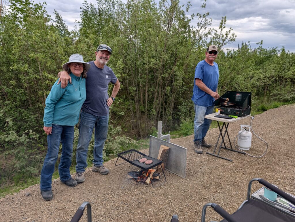
We woke early, partly because the battle with mosquitos all night was largely won by the enemy and were ready to drive on the ferry by 8am if by chance that was the possible. Unfortunately, it wasn’t. We watched them continue to build the little dirt spit out into the fast-flowing Peel until they finally decided it was safe to load vehicles. Our turn came around 11.45am and the crossing on the cable-powered ferry was smooth as silk.
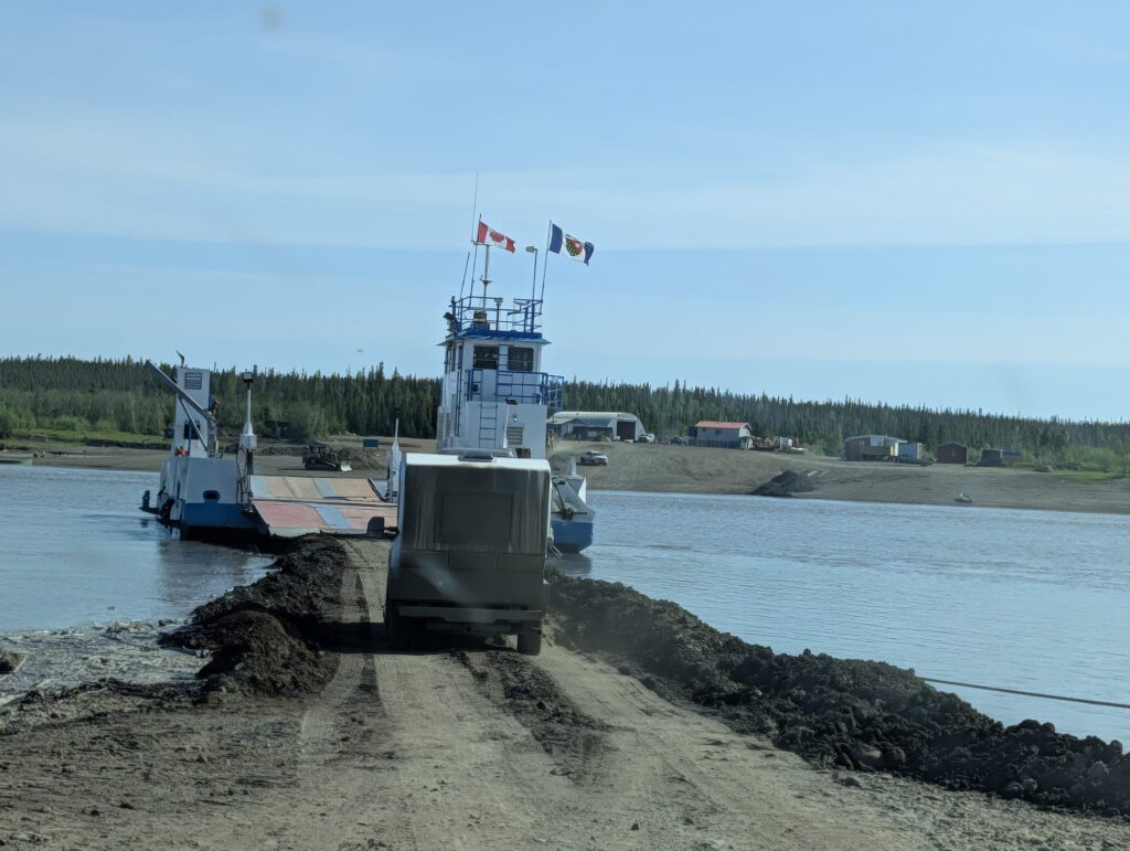
From the other side we drove into the local community of Fort McPherson, an indigenous community of about 700 people. We checked out the town a bit and bought more bug spray since we used all our spray the previous night. Then it was northward again.
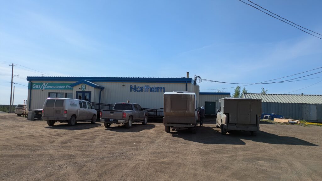
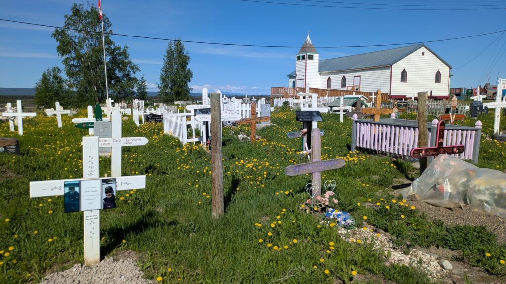
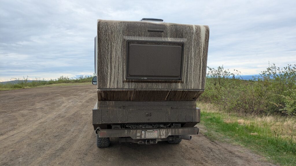
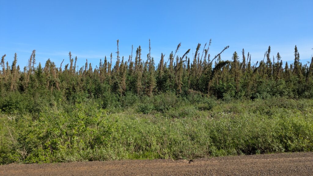
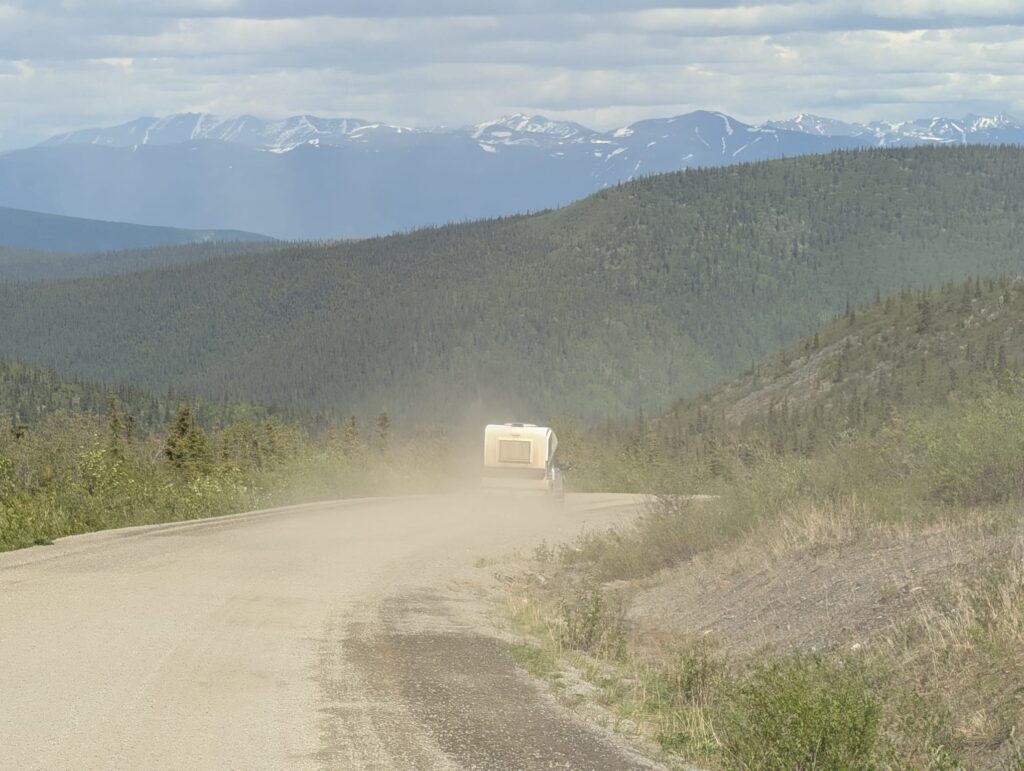
In a land where only the hardiest survive we saw yet again that the spindly black spruce prosper across the frozen tundra. We followed the dirt road, long trails of dust billowing behind each vehicle making passing some of the big trucks a high-risk affair.
Eventually we made the much larger Mackenzie River and queued again while we waited for the ferry. We had seen the Mackenzie a couple of times on this trip, particularly near Yellowknife and at Fort Simpson, and it was great to make it’s acquaintance again.
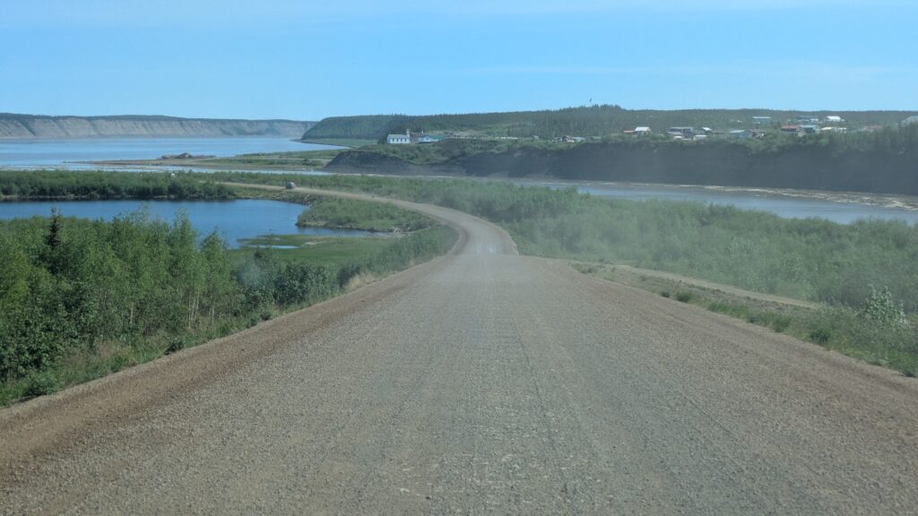
The ferry ride was uneventful and from the northern side we had the dirt road and more endless tundra to keep us company. But the dust was the big feature of the afternoon and we appreciated the sideways breezes to clear the road in front of us.
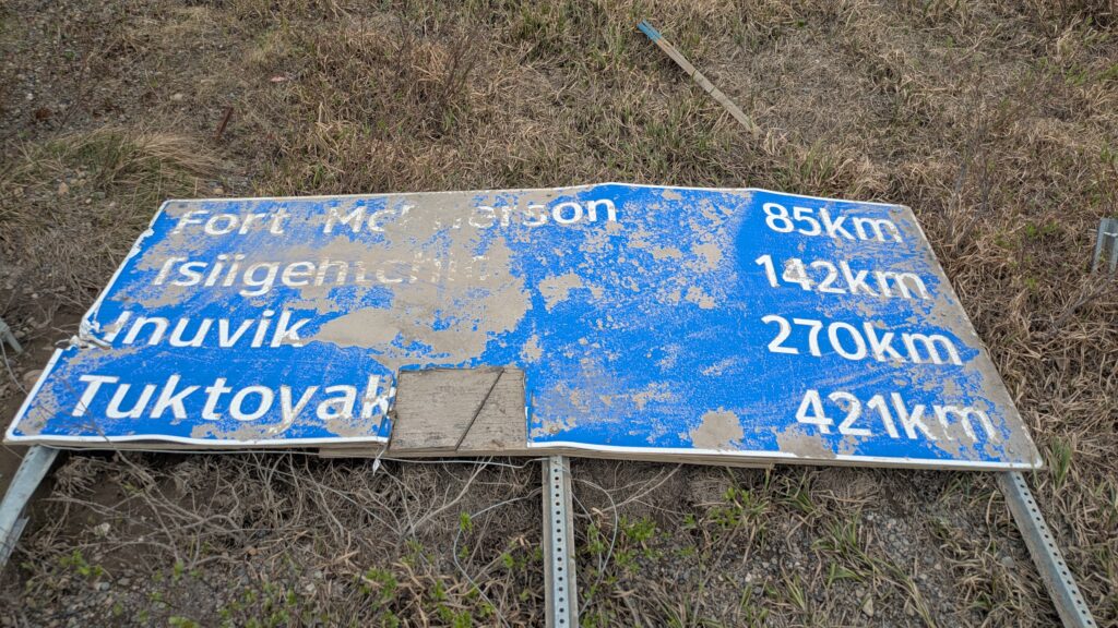
By late afternoon we reached the major town of Inuvik which has about 3,000 people. Inuvik was the end of the road in 2017 when Julie and I came up here and we had to turn around and head south. They say Inuvik is so far north the locals look south for the Northern Lights but we had our sights on a community even further north – Tuktoyaktuk.
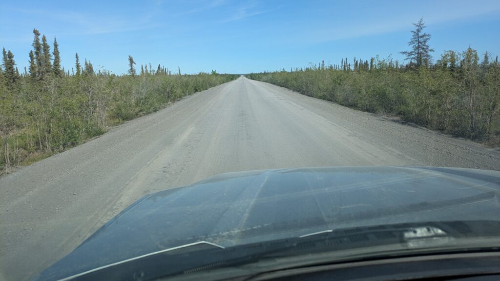
Tuktoyaktuk, or simply Tuk, is an indigenous community on the shores of the Arctic Ocean, one of the northernmost communities on the continent. The road to Tuk only opened in 2018 and we’ve had it on our list to complete this journey northward ever since. The 140 kilometre (85 mile) dirt road from Inuvik was an absolute gem, rolling across treeless open tundra while weaving it’s way between the small Arctic lakes. What a special treat!
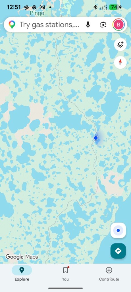
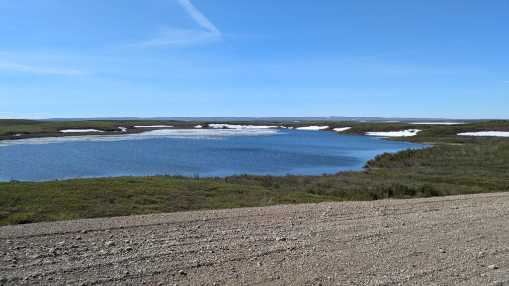
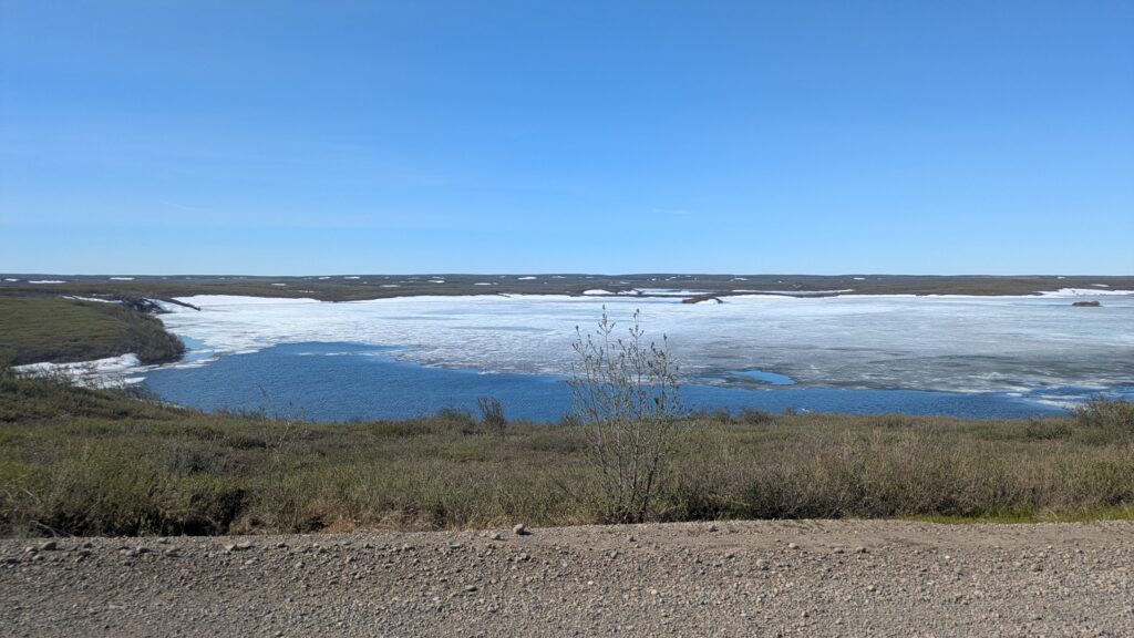
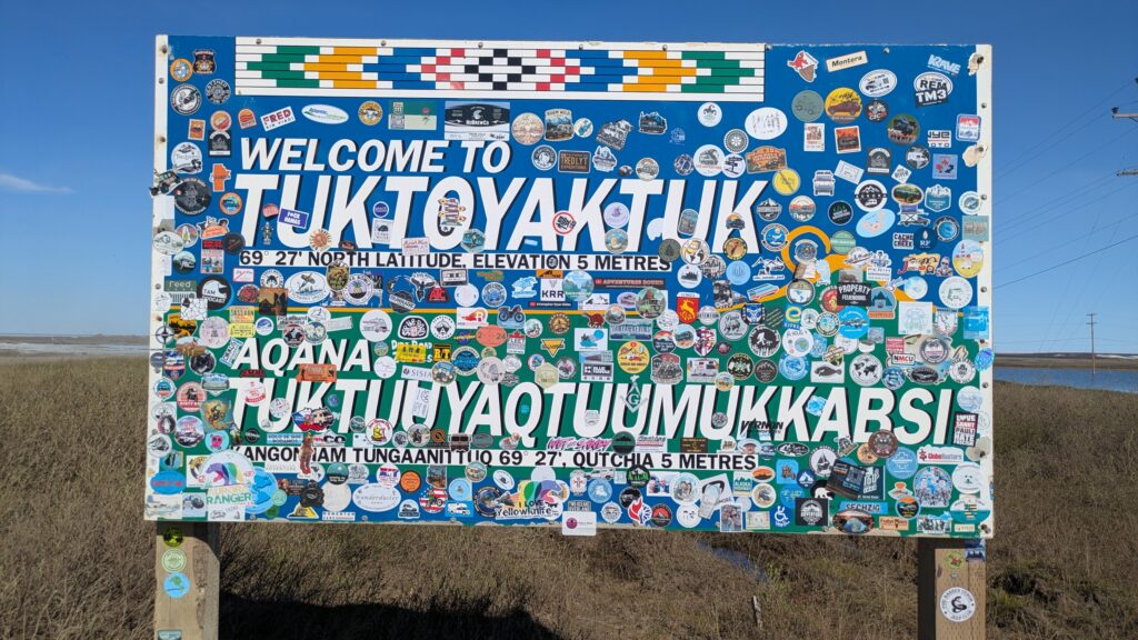
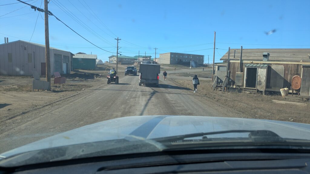
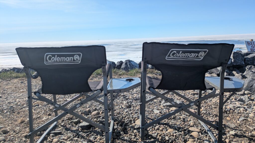
We drove through Tuk, spread out between the little lakes that densely populate the land, and pulled up at the end of the spit where the road to the north ends. In front of us was 180° of frozen Arctic Ocean. We had definitely come to the end of the road.
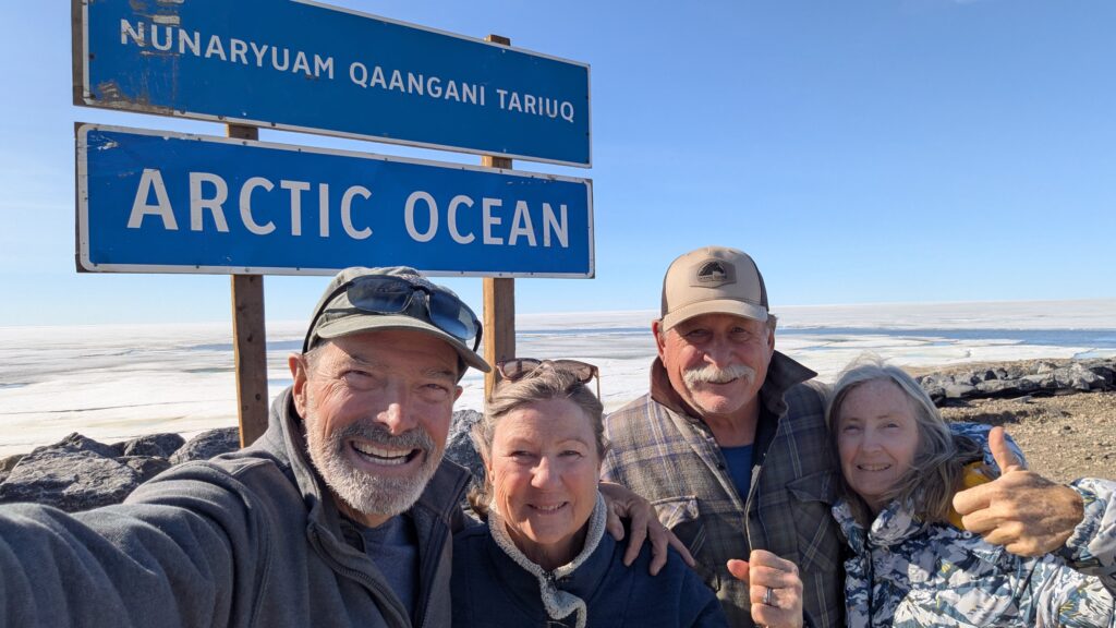
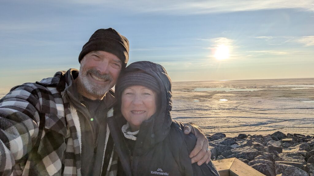
We found a spot to camp for the night where the ocean meets the continent and cooked up a storm before moving up the hill a bit to give space to a group of celebrating locals. We played cards for the rest of the evening, seriously rugged up against that cuddly Arctic chill, and as the clock struck 12 we posed for the obligatory selfies of us with the midnight sun. And as this was the day before the summer solstice you just don’t see the sun much higher than this at midnight.
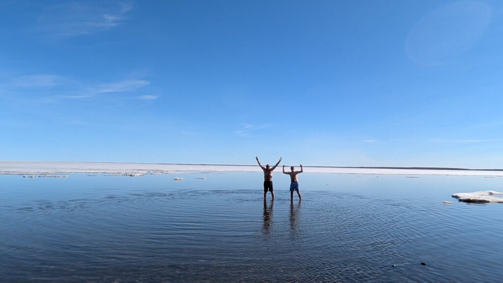
The next morning after brekkie John and I did what all serious men in the world would do in the same situation and that is we took a dip in the Arctic Ocean. The girls declined on the basis someone had to take the photos and apply CPR. The evidence shows we didn’t go in very deep but I can confirm it was numbingly cold.
From this point there is only way one to go – south. So with great regret but still a little giddy about this wonderful experience we headed our two rigs in a southward direction.
Wow! And I thought the mountains of Tajikistan were remote! What a thrilling experience you’ve had. I’m only a little bit green…😊
Hi Jan, the Dempster has your name all over it! Bill