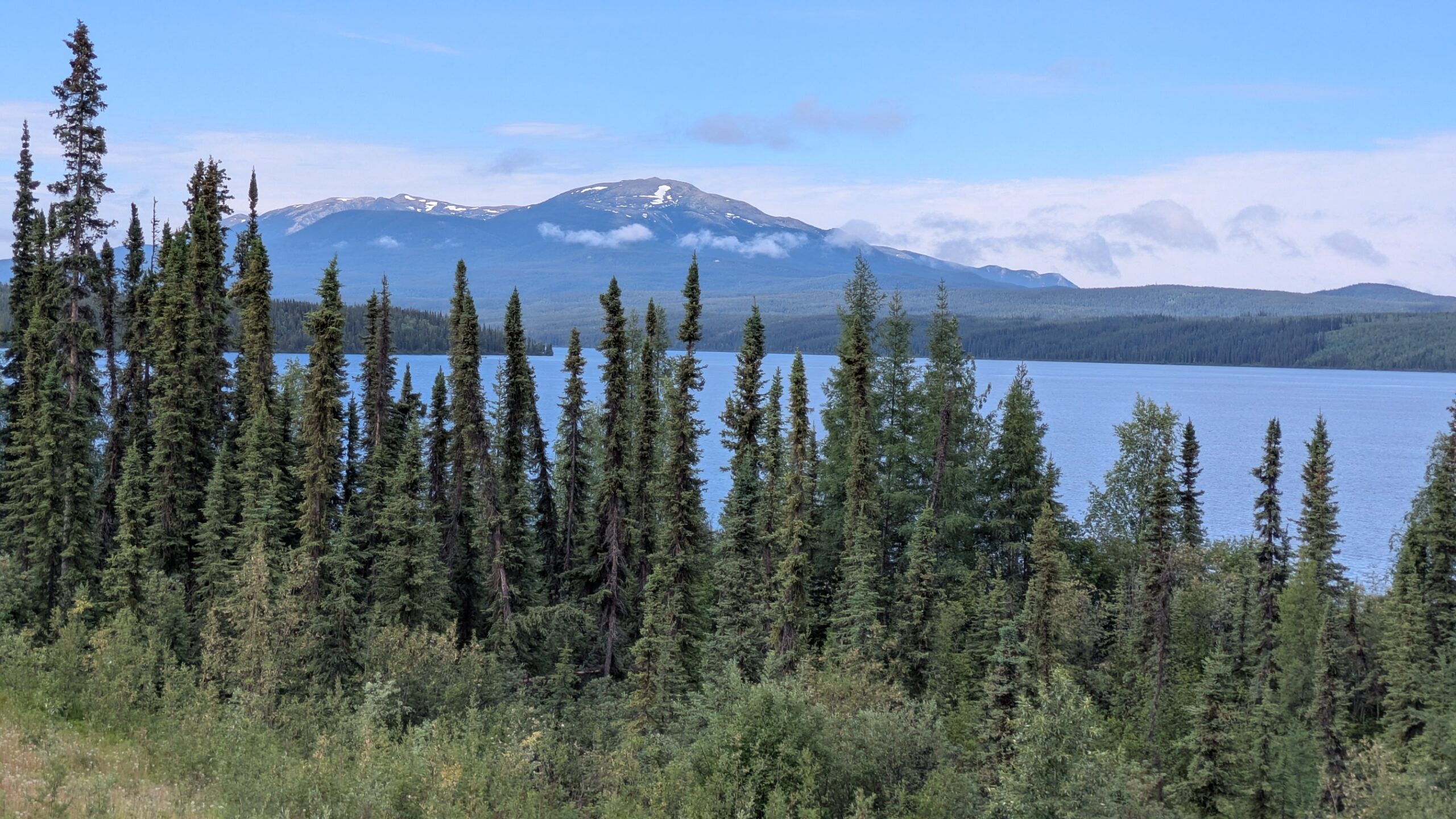
Spruce trees rock
The boreal forest ranges across the breadth and width of Canada and Russia, a huge share of the world’s landmass, and the overwhelming tree of the boreal forest is the spruce, or to be more specific – the black spruce and white spruce. And of those two it’s the black spruce that grows the best on the permafrost under very challenging conditions. Yes, the spruce can be pretty scrawny, thin and scratchy at times but they rule this land.
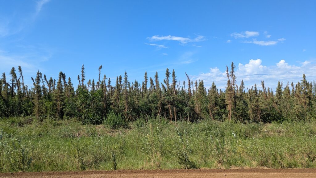
We woke in the mountain hamlet of Keno, population 20 if you count everyone twice, and followed the dirt road up and around the mountains through the spruce for about 100 kilometres back to the paved road at Stewart Crossing. We had been super-impressed with the Stewart River, bursting it’s wide banks and cutting a handsome valley or two, and the little old mining town of Keno. All good stuff.
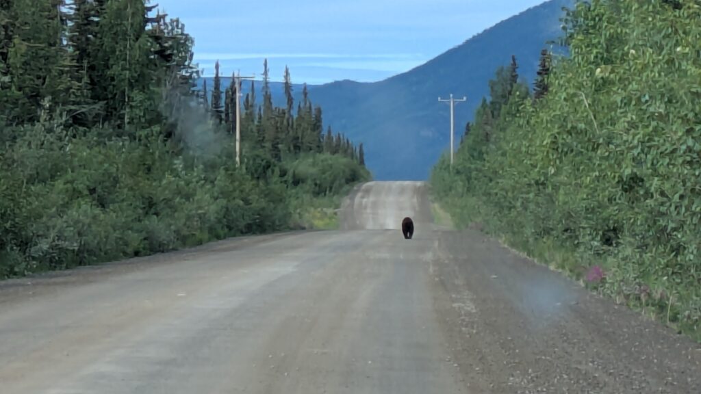
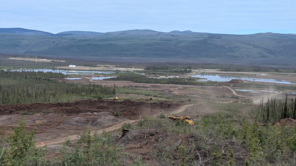
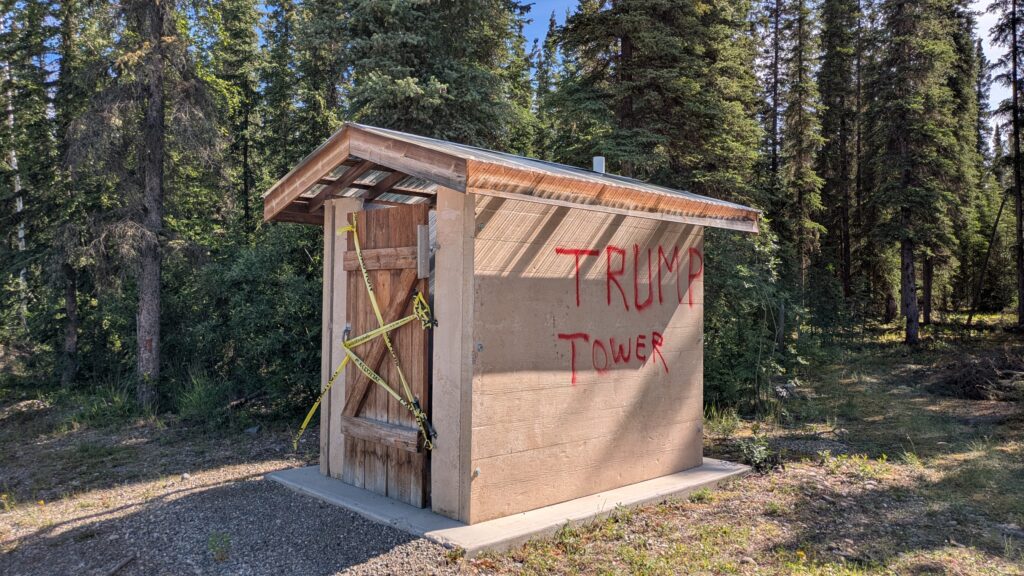
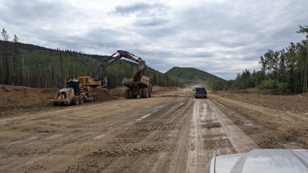
From Stewart Crossing we headed south on the Klondike Highway, slowly moving back in the direction of civilisation. The rolling hills were blanked in the boreal forest, on the one hand boring and on the other fascinating. There were a couple of very long sections of road work where after waiting we crawled along behind the pilot car in a cloud of dust. Their short summer season means it’s all hands on deck to keep these roads drivable.
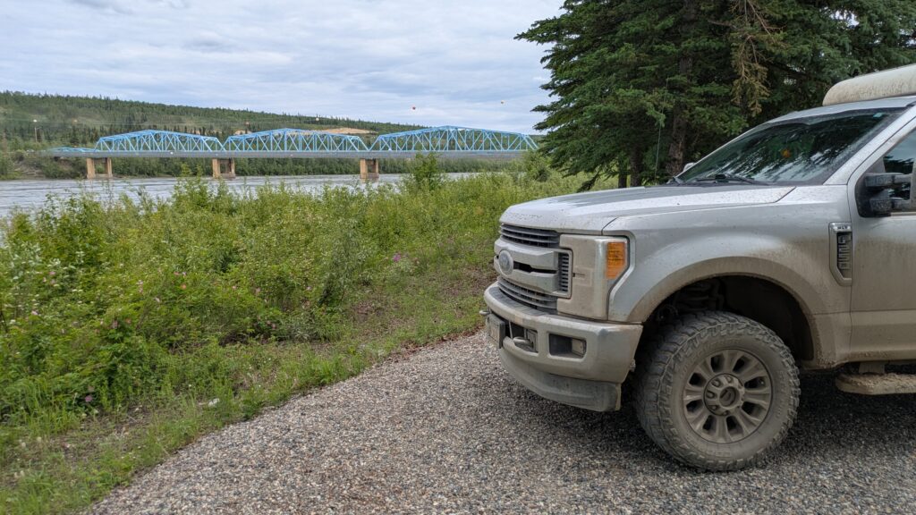
At Pelly Crossing we were introduced to another massive river, as if we hadn’t seen enough, the Pelly River. Like the Stewart, the Pelly was at it’s highest level, the last of the snow melt filling it’s banks, and we had lunch near it’s shore.
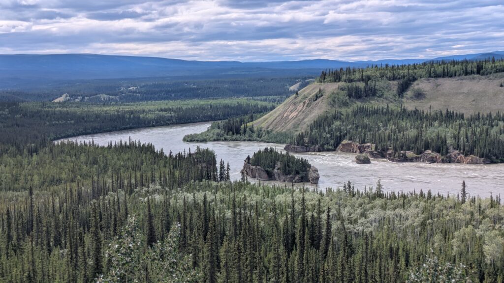
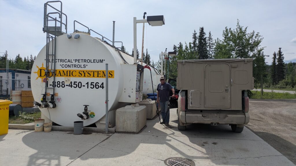
Then it was on through more forest and more roadwork until we met up again with our favourite river – the mighty Yukon. We refuelled at Carmacks – the second time for the day because we had a long lonely stretch to come – and followed the Yukon upstream for a ways before camping on the banks of the very pretty Little Salmon River. It had definitely been a day of forest and rivers.
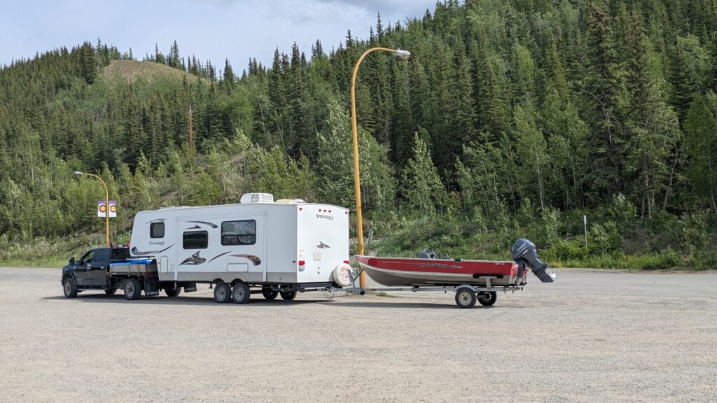
As it turns out, the road between Carmacks and Watson Lake, a journey of about 600 kilometres (360 miles), is very lightly travelled as most people choose the slightly longer but faster paved Alaska Highway.
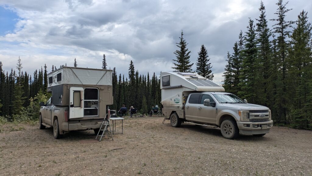
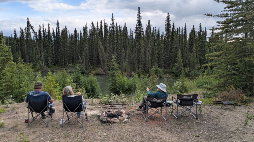
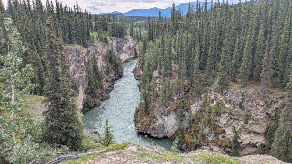
Not for us – we wanted to traverse new territory so headed out on a track that varied from smooth pavement to rough temporary road and everything in between. Add on top of that weather that varied from warm sunny skies to belting down rain and scenery that included shimmering lakes, snow-streaked mountains, fast-flowing rivers and endless boreal forest and you’ve got a picture of our day.
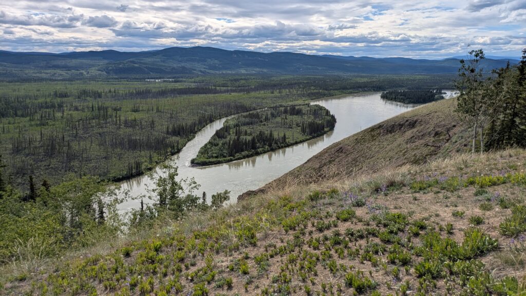
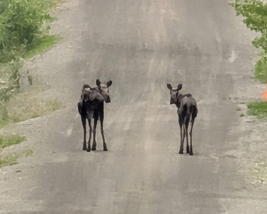
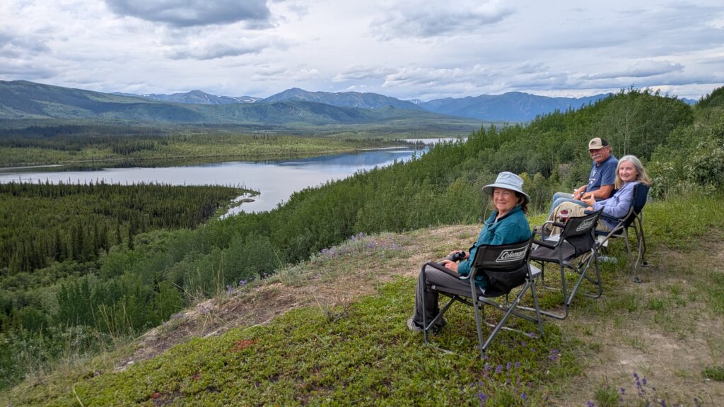
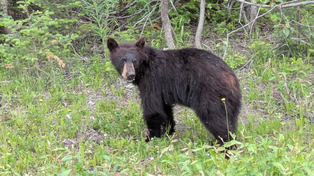
We saw a few bears, including a mum with her two cubs, we had two moose just mooching around in the middle of our road, and countless kamikaze hares and squirrels playing chicken with our cars as they crossed the road. A highlight of the day was our lunch spot perched high on a ridge looking down on yet another beautiful mountain lake. You don’t get this stuff at home.
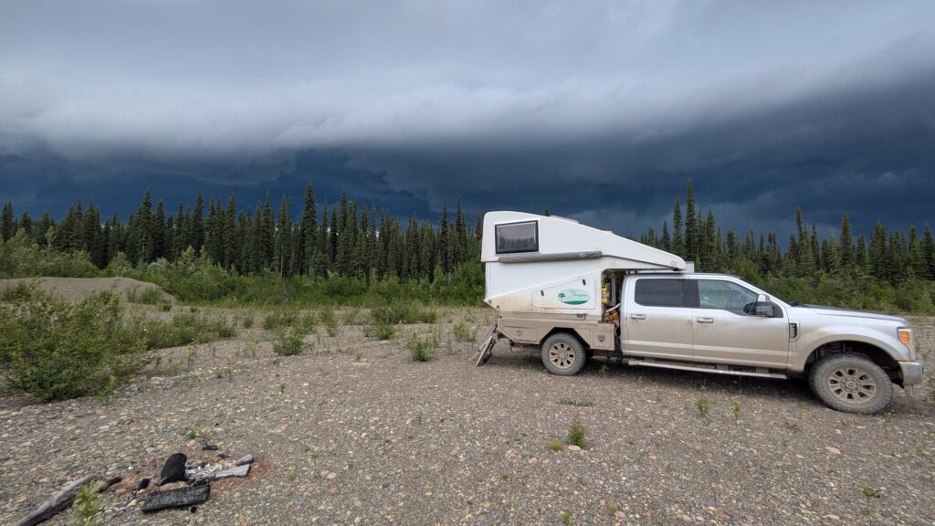
We camped in yet another old gravel pit near the Tuchitua River, a spot abandoned years ago which now provided us a flat and dry place to call home for the night. A dry place until the clouds came in, loud rolling thunder and flashes of lightning filled the sky and entertained us. When the rain passed we built a fire and enjoyed another night outside, our usual defensive mechanisms keeping the mosquitos down to a low roar.
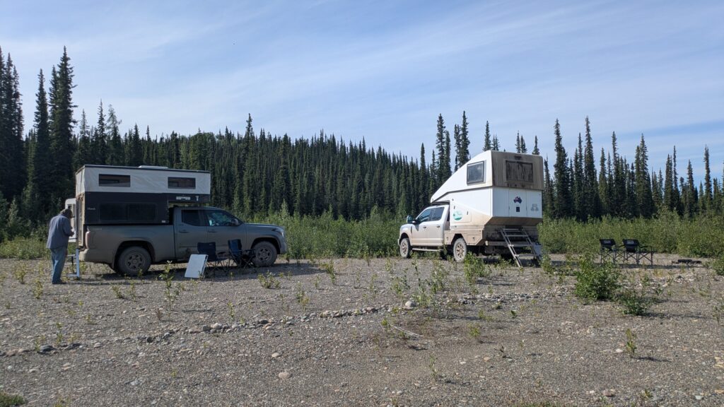
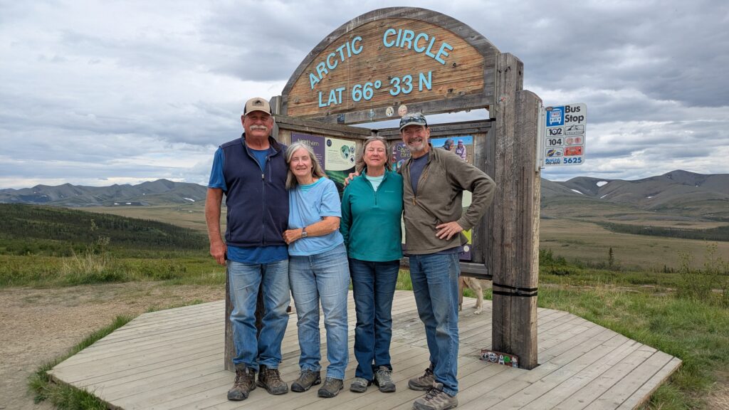
The next morning Kathy and John packed up early and headed out before our second coffee. They had travelled with us for two weeks, in particular travelling up to Tuktoyaktuk and the Arctic Ocean which had always been high on their bucket list. Unfortunately they had other family commitments in California in the near future and had some mammoth long driving days to get there. With hugs all around we bade them farewell, safe travels and will miss their great travel company. And don’t forget the competitive card nights.
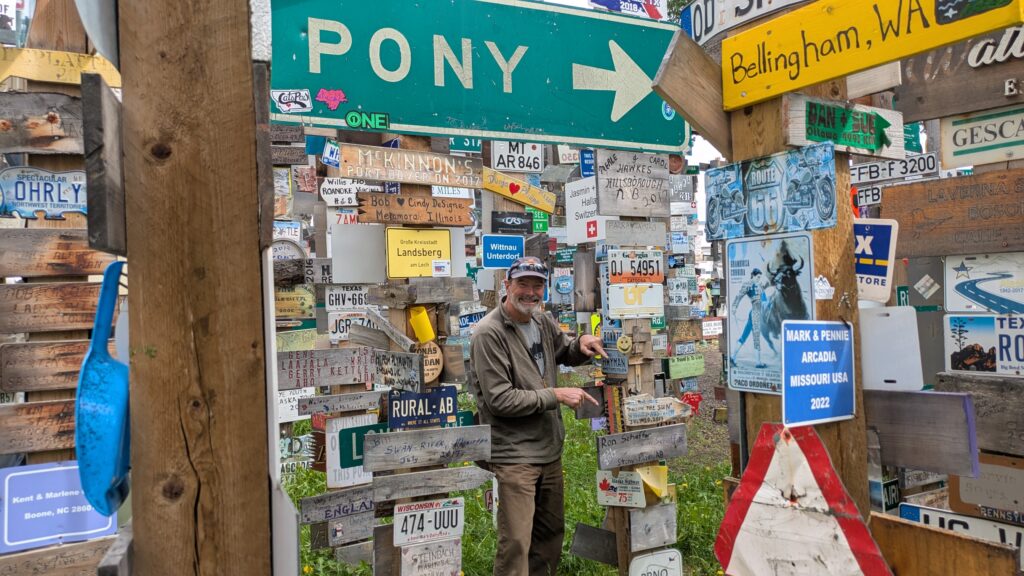
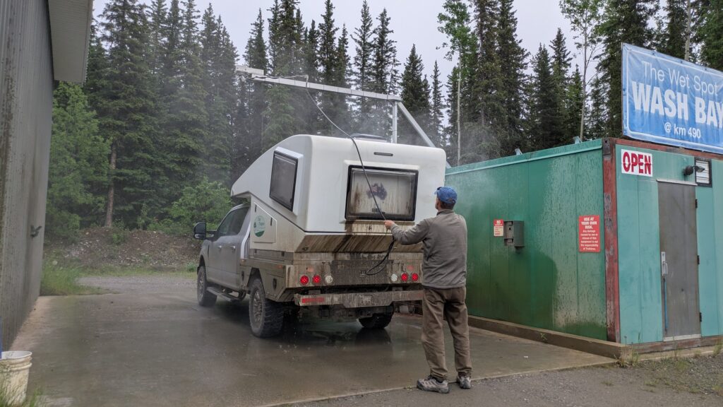
Julie and I eventually packed up in a flurry as the mossies formed battalions and drove into Watson Lake, over 100 kilometres away. We had a long list of chores to do in this crossroads town of 1,100 people where virtually all roads heading north or south must pass through. After three and a half hours we had done laundry, had showers, filled up all our tanks, filled the larder, had lunch and checked out our two signs in the Sign Post Forest. Phew.
We were also heading home, albeit on a slower schedule with more things to see and do along the way, but California was in our sights. To drive to Alaska from British Colombia there are basically two roads, both of them meeting in Watsons Lake. We had driven up the Alaskan Highway almost two months ago on our way north so of course we took the other road – the Stewart Cassier Highway – back south again.
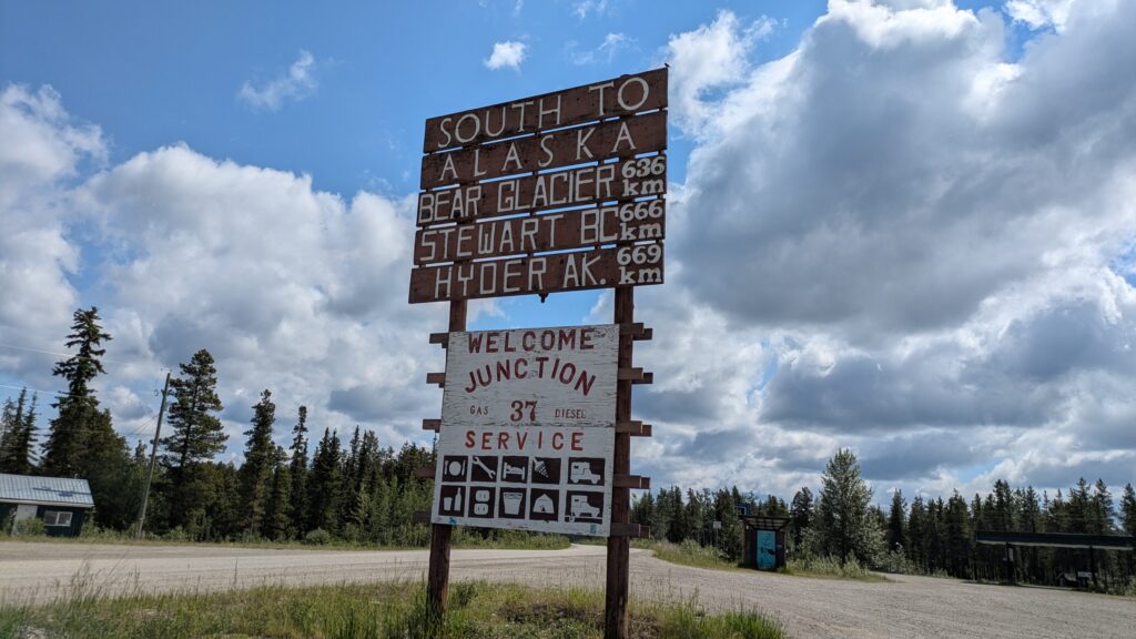
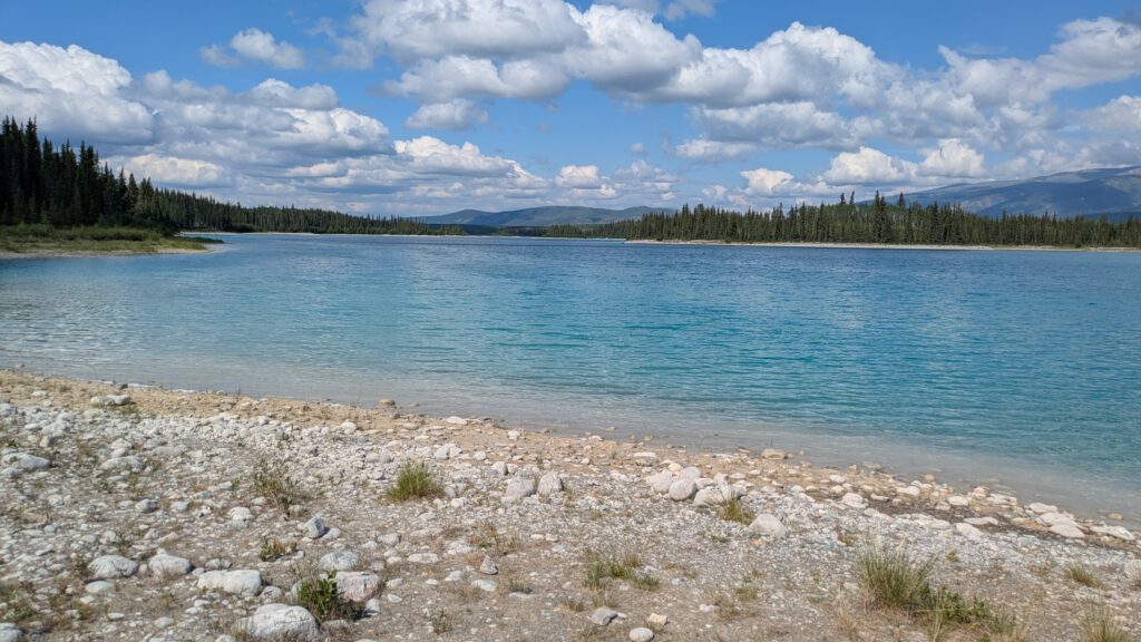
This highway is further west and takes a more direct north-south route through various mountain ranges in northern British Colombia. We jumped on the Cassier and followed it’s path through the glacier-carved Cassier Mountains, stopping at beautiful Boya Lake along the way.
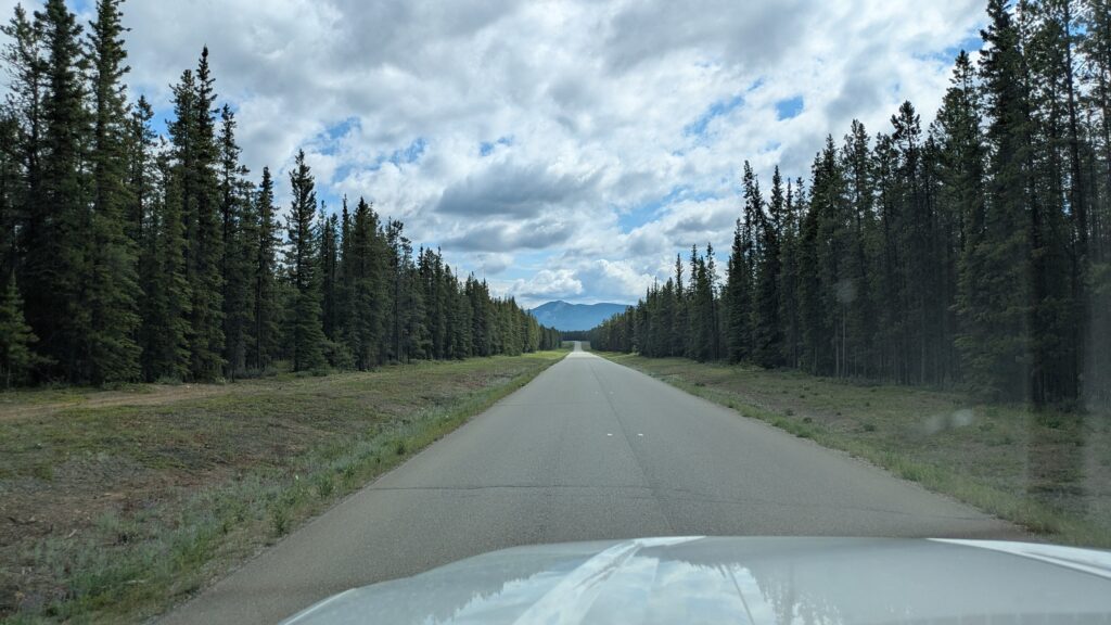
We camped the night at Pinetree Lake, another of the fabulous mountain lakes in this region, but were kept inside by more rain and many more mosquitos. We know the tail end of our trip is the beginning of their peak season but jeez they can get tedious after a while.
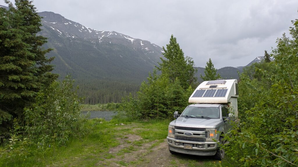
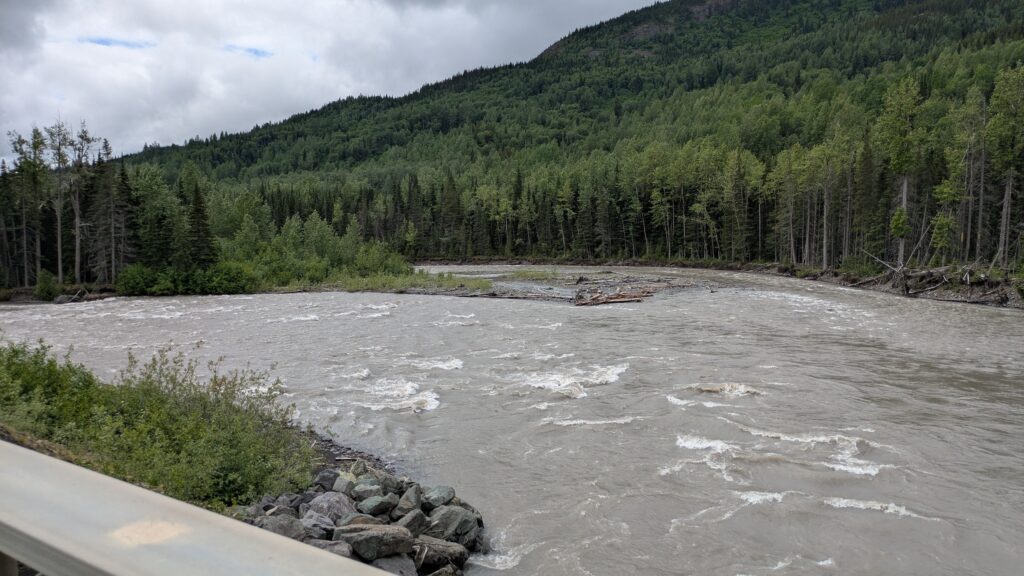
The next day followed a similar path, staying on Highway 37 as it sliced a path southward through this enormous province. It was mostly low clouds all day which blocked the mountain views and reduced the usual ooos and aaas and wows. But as we’ve seen recently, all the rivers are full to overflowing and the lakes are at their highest level due to the spring melt. It might be all about the snow in winter but in the spring it’s more about the water. Water water everywhere.
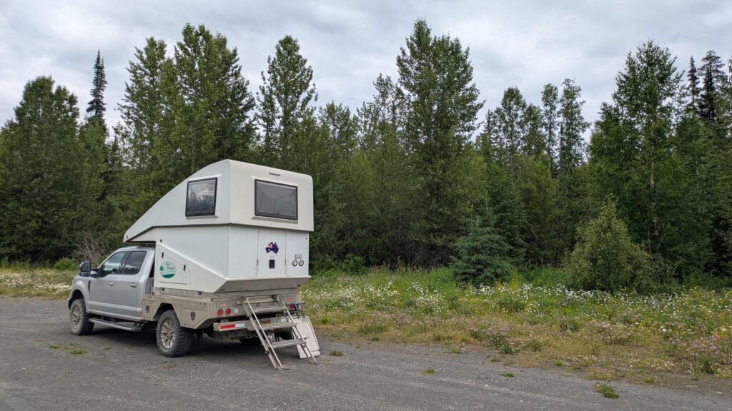
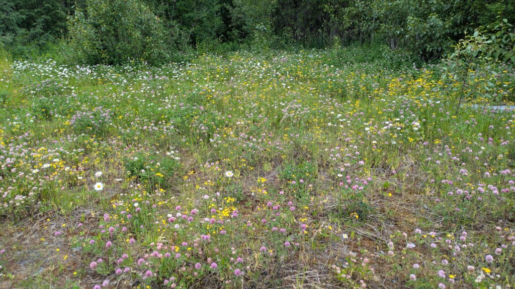
And the wildflowers! We camped that night on the edge of a large gravel area (but not a gravel pit!) surrounded by a wonderful field of wildflowers, just as they’ve been lining the road’s shoulders for the last few days.
Sadly, the spruce trees were largely behind us now, replaced by other conifers, birch, aspen and poplars. We were hoping that the mosquitos also will start dropping off as we move further south. Wishful thinking perhaps.
Comments
Spruce trees rock — No Comments
HTML tags allowed in your comment: <a href="" title=""> <abbr title=""> <acronym title=""> <b> <blockquote cite=""> <cite> <code> <del datetime=""> <em> <i> <q cite=""> <s> <strike> <strong>