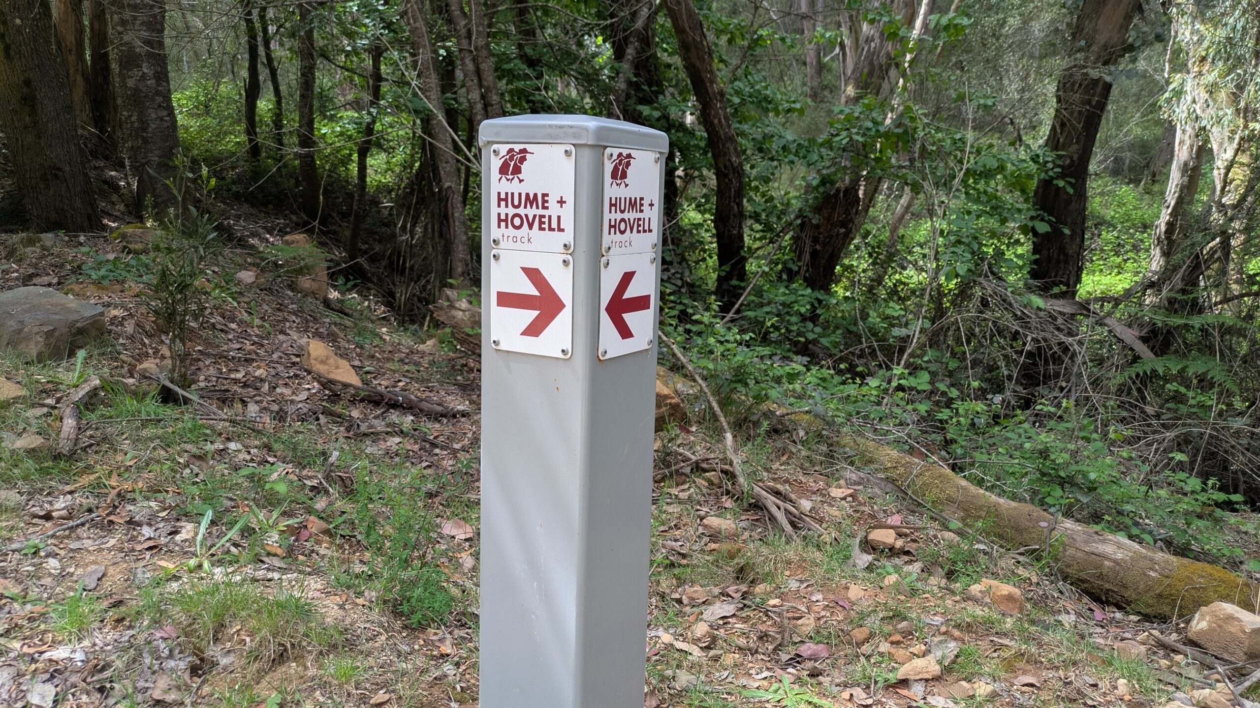
The Hume and Hovell Track
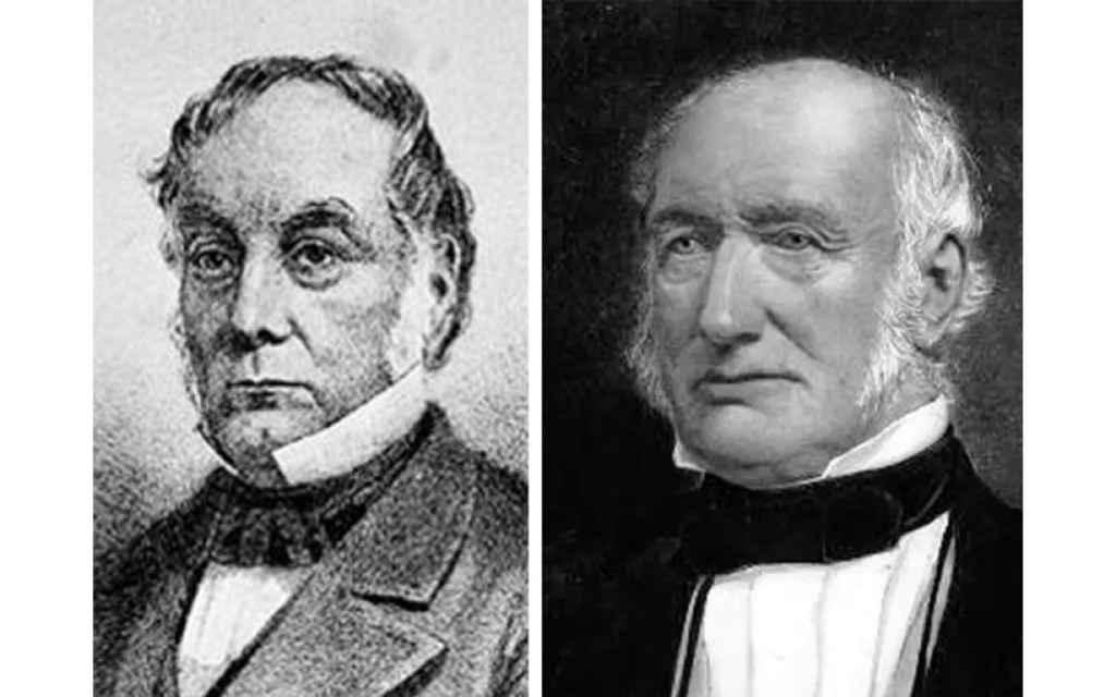
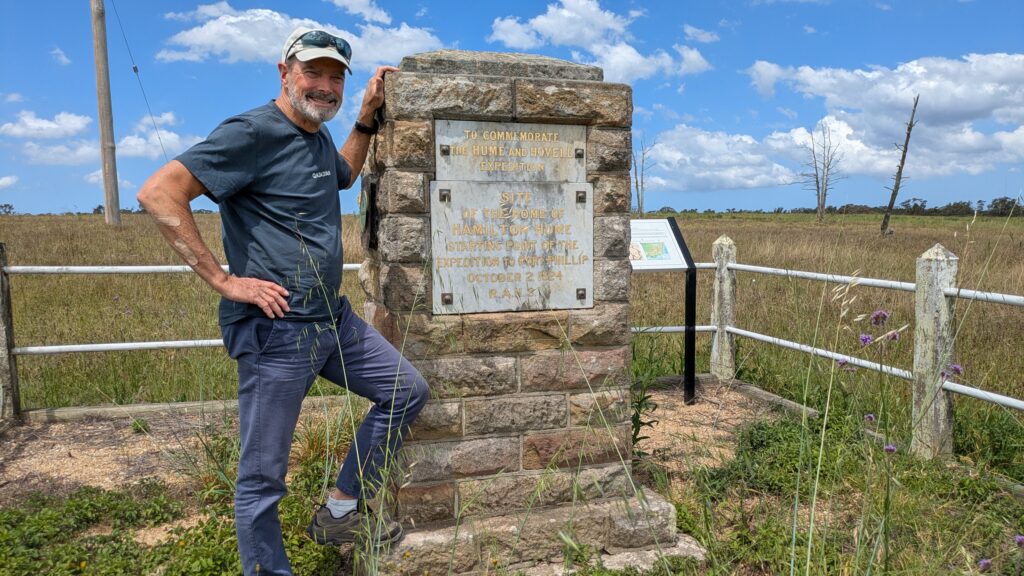
In 1824 the Governor of New South Wales commissioned Hamilton Hume and William Hovell to find an overland path from Sydney to Port Philip Bay where modern-day Melbourne is located. They were to report back on the flora and fauna, good grazing land, rivers and suitability for future settlement. This difficult but immensely successful expedition opened up much of inland NSW and Victoria and filled in many missing gaps in the remote reaches of Australia. Amongst other acknowledgements, today there is a long distance walking track which roughly follows their path and I was planning to follow one section of it. And here’s the kicker – I was going to do it alone, solo, all by myself. What could go wrong?
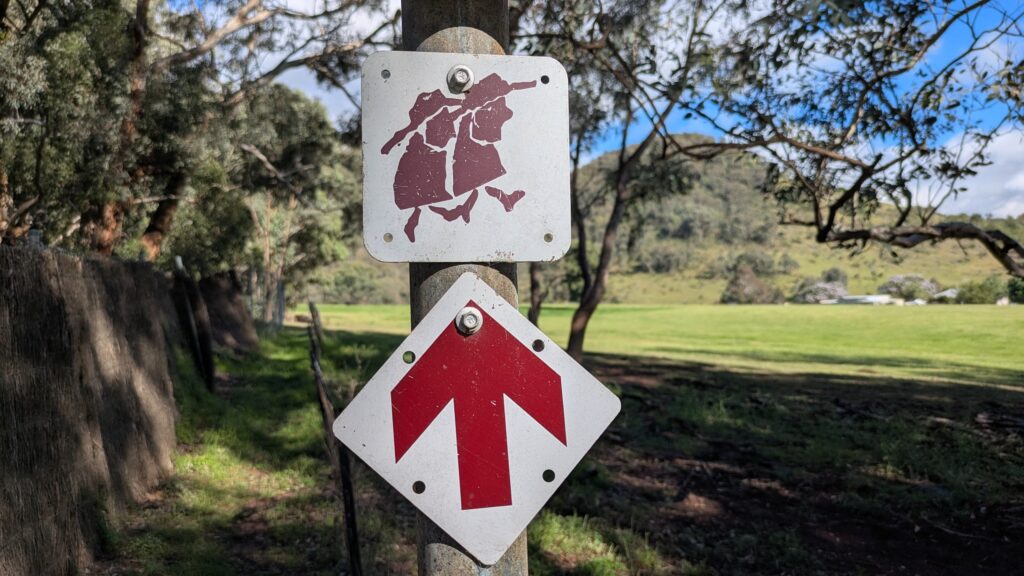
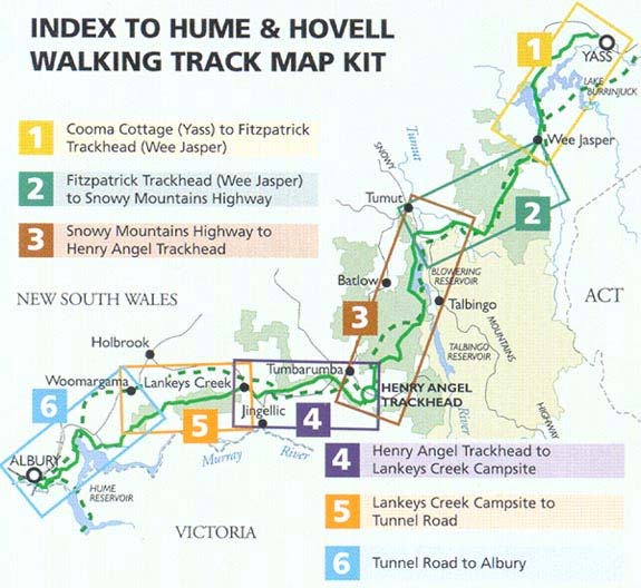
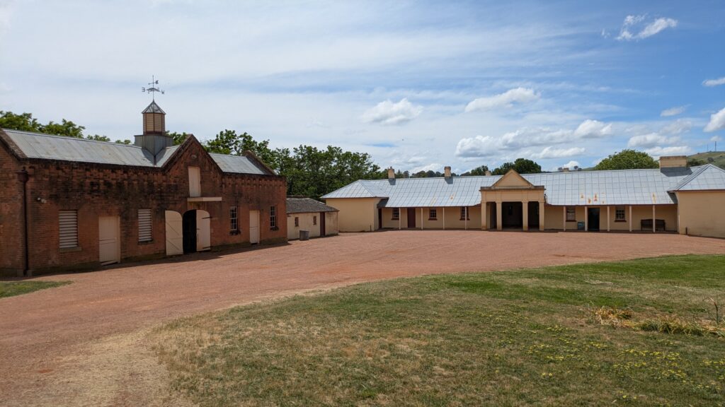
The Hume and Hovell Track is about 440 kilometres (273 miles), starting outside the regional town of Yass at Cooma Cottage which Hume bought after the expedition and lived out the rest of his prosperous life. It travels south, roughly following the path of the expedition, through state forests, national parks, across private land and along various waterways. I chose to do Section 2 from the small community of Wee Jasper to the large reservoir call Blowering Dam, was about 89 kilometres (55 miles) across very remote and mountainous terrain, peaking out at about 1,200 metres (3,900 feet). I had given myself six days to do it.
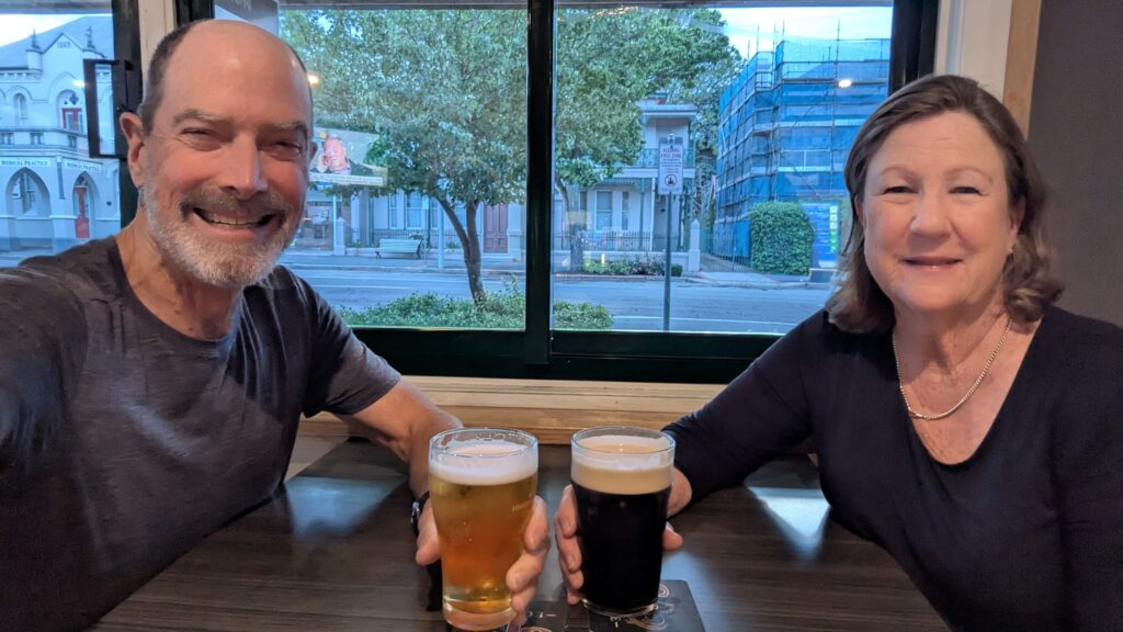
Ah, well, that was the original plan. As Julie, who was doubling as my solo support team, and I were approaching Wee Jasper an almighty storm broke out with monsoon rains and hurricane winds. Trees were losing branches, the sun was darkened, rivers were rising and ducks were running for cover. I cowardly decided to postpone my walk by a day and Julie and I spent a very pleasant night at the Australian Hotel in the very modest town of Yass.
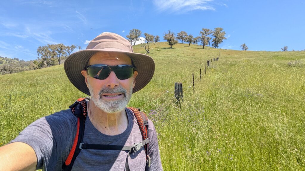
Already a day behind schedule, I started the following morning under blue skies after getting a warm farewell hug. The trail from Wee Jasper immediately inserted itself into the beautiful Aussie bush, tall gums, handsome grass trees and the wonderful ever-present birdsong. I was in my element even if I had no one to share it with.
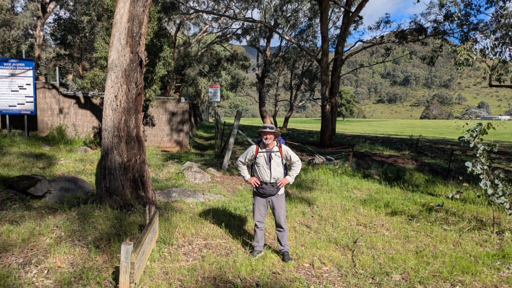
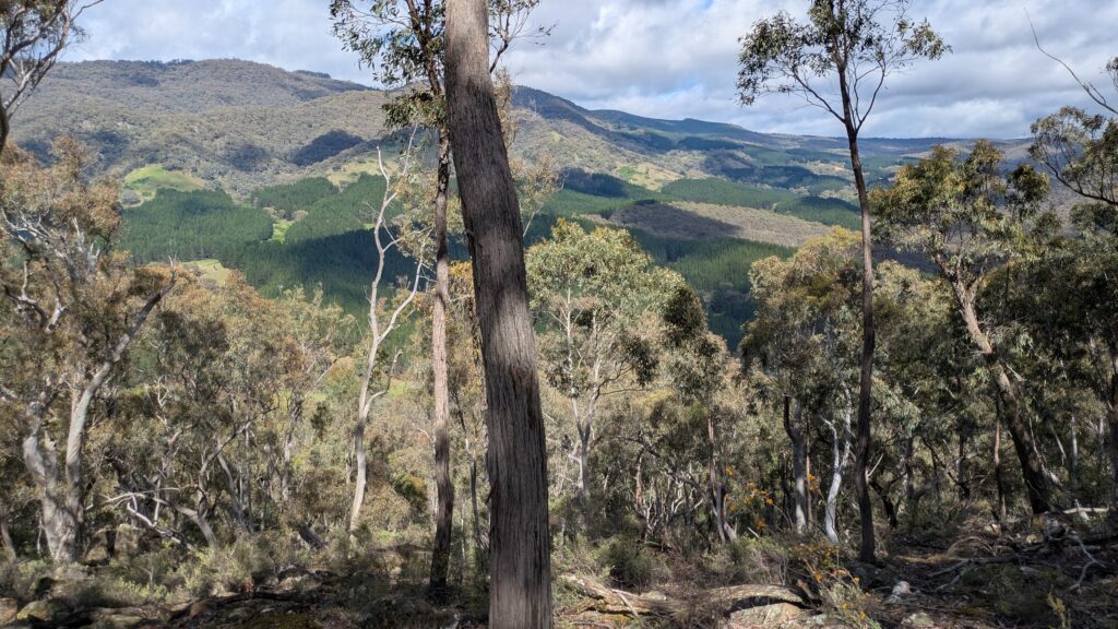
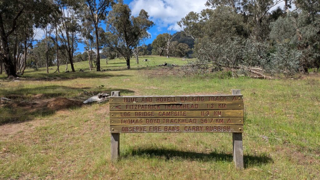
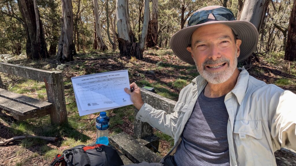
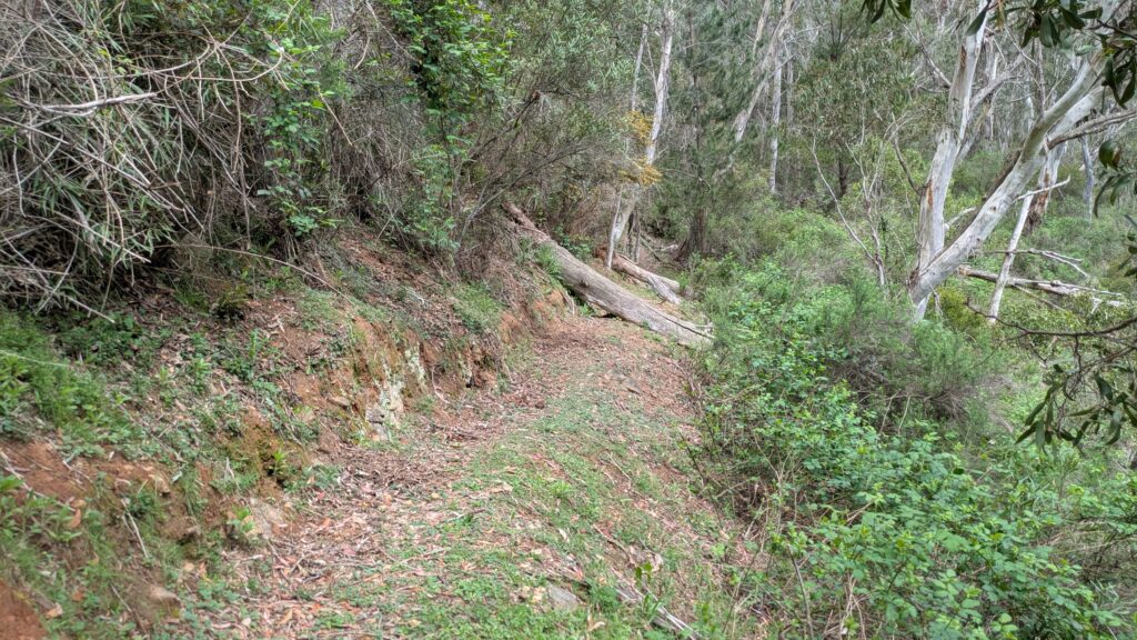
The highlight of the day was topping out at Mt. Wee Jasper at 1,121 metres which I can tell you took a fair amount of huffing and puffing to get to the top with my full pack. The log book at the top told me no one had done this walk for ten days, a repeating theme throughout the journey as the trail often became obscure due to lack of use. They don’t know what they’re missing.
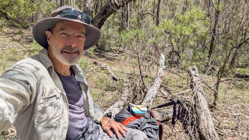
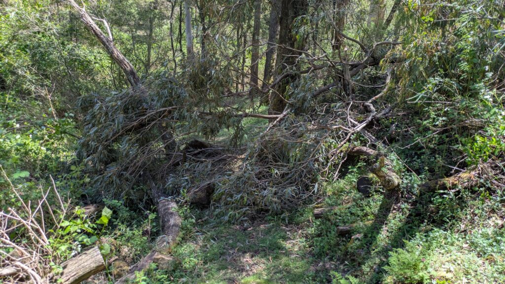
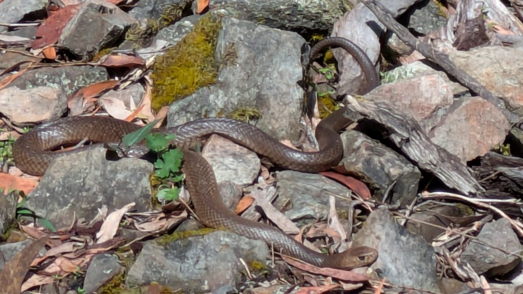
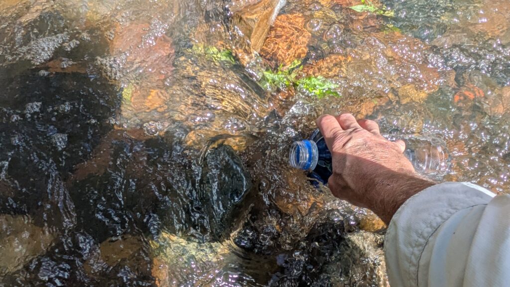
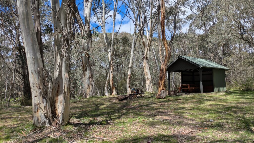
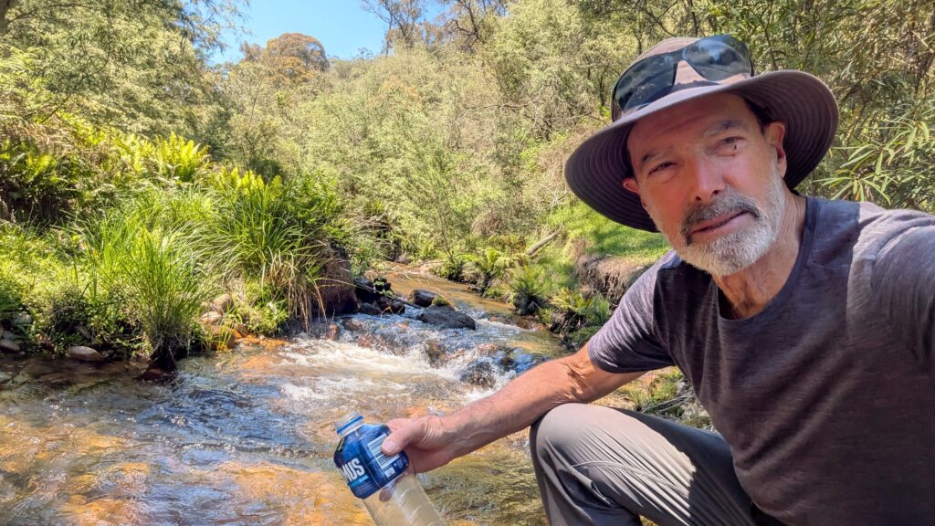
I camped that night at the shelter at Log Bridge Creek, drawing clear water from the creek and enduring a seriously chilly night. The next day featured a number of very steep and deep gullies carved by cascading creeks, some overgrown old fire trails and another camp spot on the raging Micalong Creek. All the streams were quite full due to the recent rains and it made finding water along the walk an easy task.
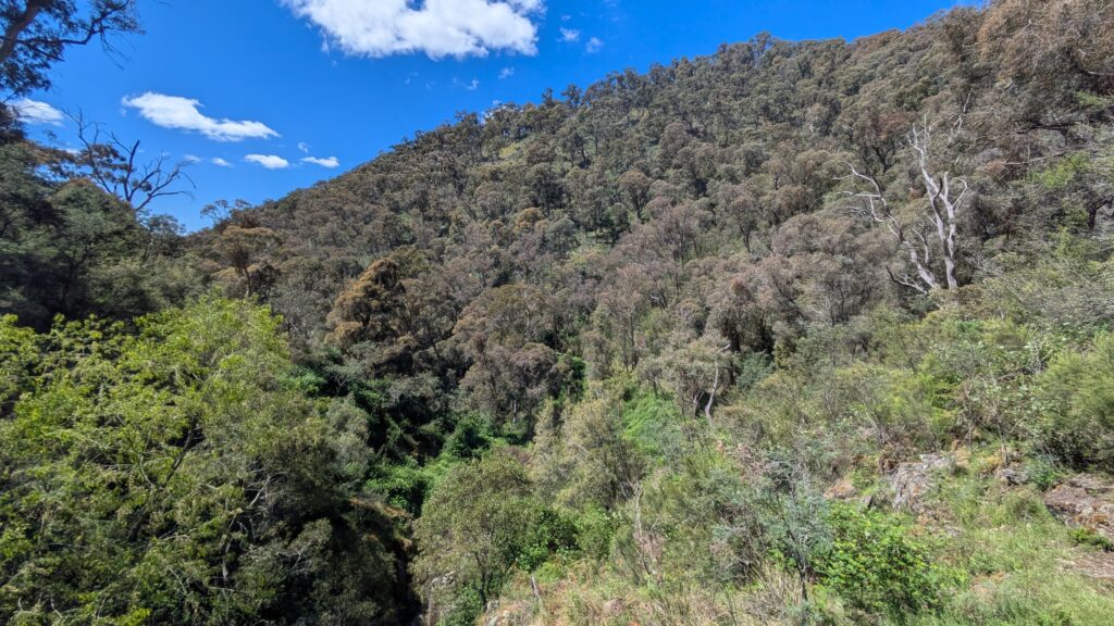
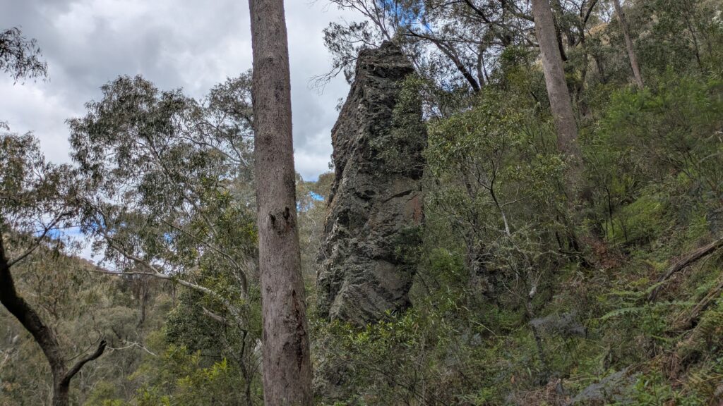
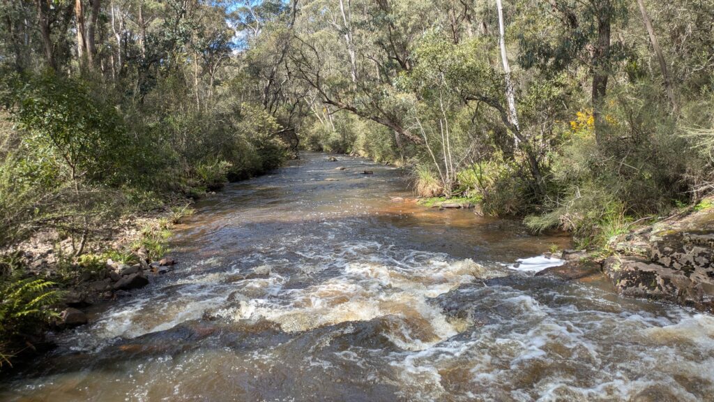
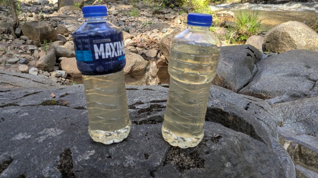
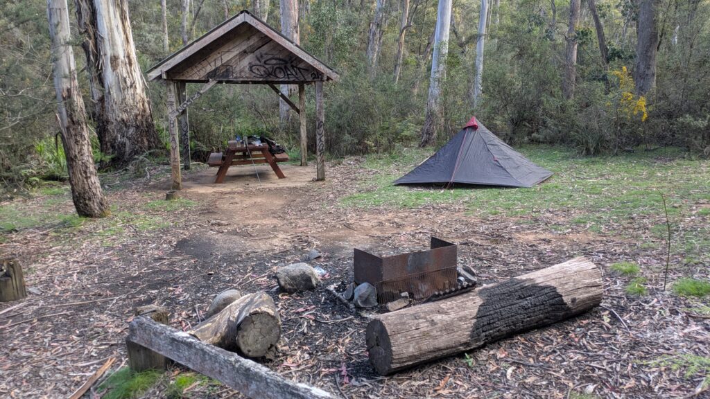
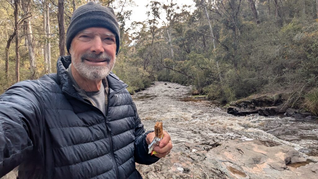
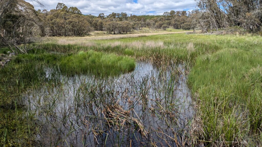
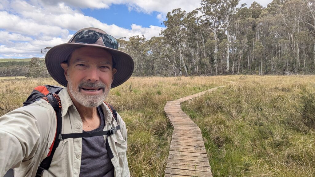
Micalong Creek was the major feature of the next day as I followed it upstream, crossing once on a new bridge that had been installed, through wonderful forests, still not another soul in sight. I had lunch at the Barrios campsite under a grove of ribbon bark gums and then followed the creek again along the shores of the Micalong Creek Wetland Reserve, an important ecological feature and protected area.
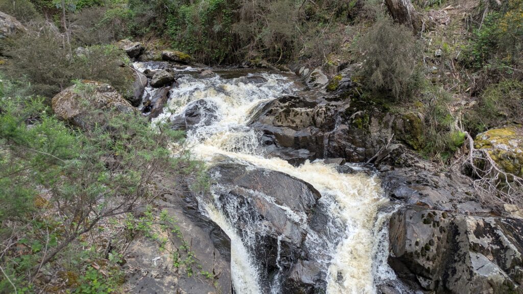
If you want to watch a short video of Micalong Creek in full fury click here.
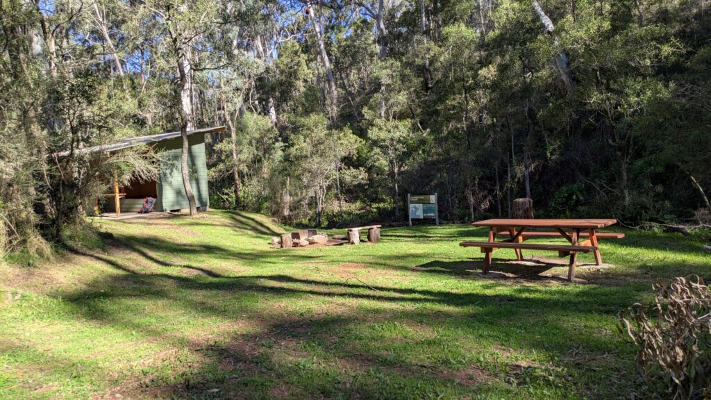
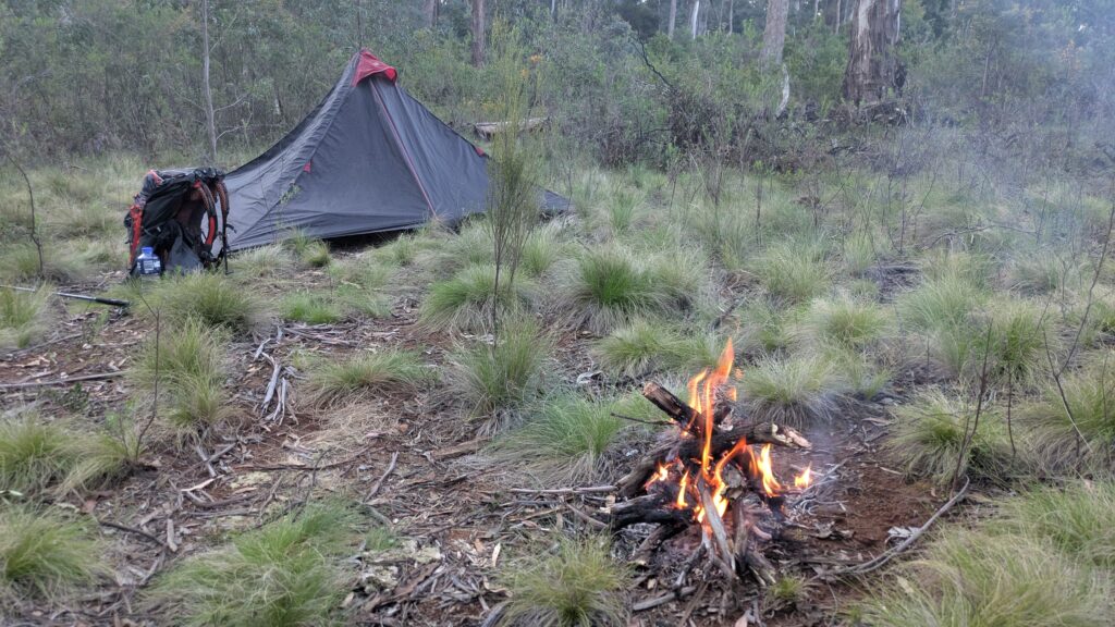
I had intended to camp at the southern end of the wetlands near the Chinaman’s Creek boardwalk but it was only 3pm so I pushed onward and upward, climbing another long gully until I popped out at a small clearing at over 1,000 metres. Exhausted but in love with this wonderful setting I called stumps for the day and set up camp, building a small fire to help keep me warm, the laughing kookaburras keeping me company. Another fabulous day all to myself in the beautiful unknown.
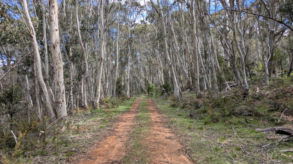
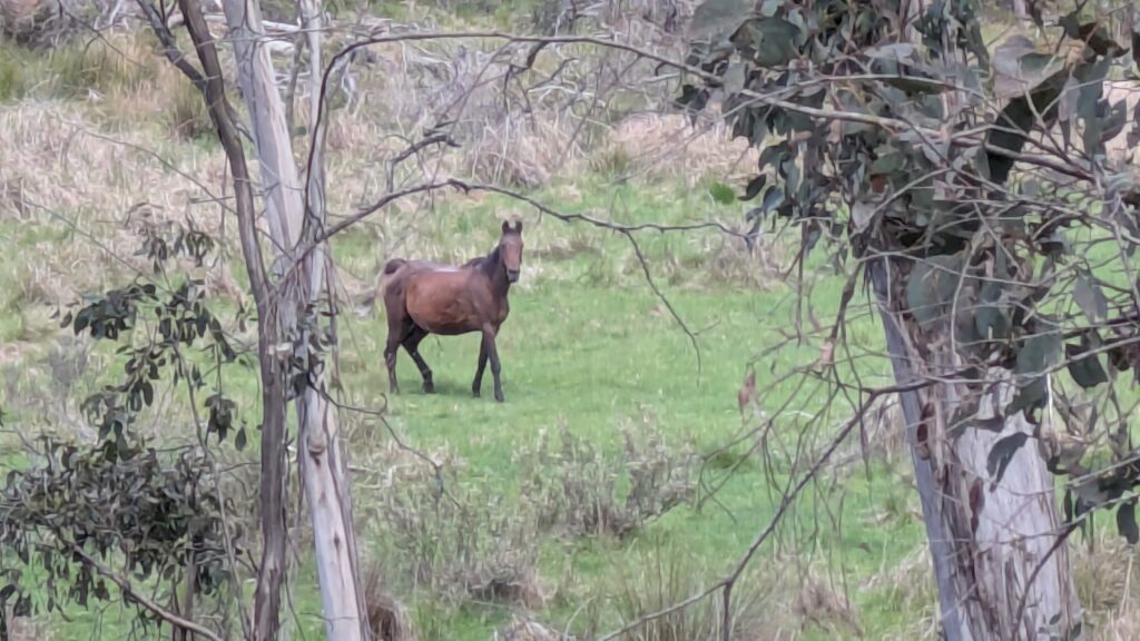
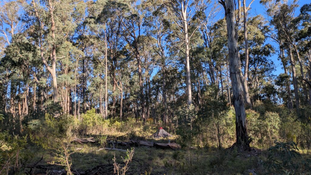
The next morning the trail took me higher through the trees, topping out at 1,210 metres (3,970 feet), the highest point on the trail. While the going was hard I felt light in the heart, the serenity and beauty of the land soothing all else. There was a long descent off this mountain range and my knees were taking the hit. The old walkers’ adage of Hard up, Hurt down was in full play. At one stage I slipped on loose gravel, slid down the steep slope and wiped out some spiky bushes. Ouch.
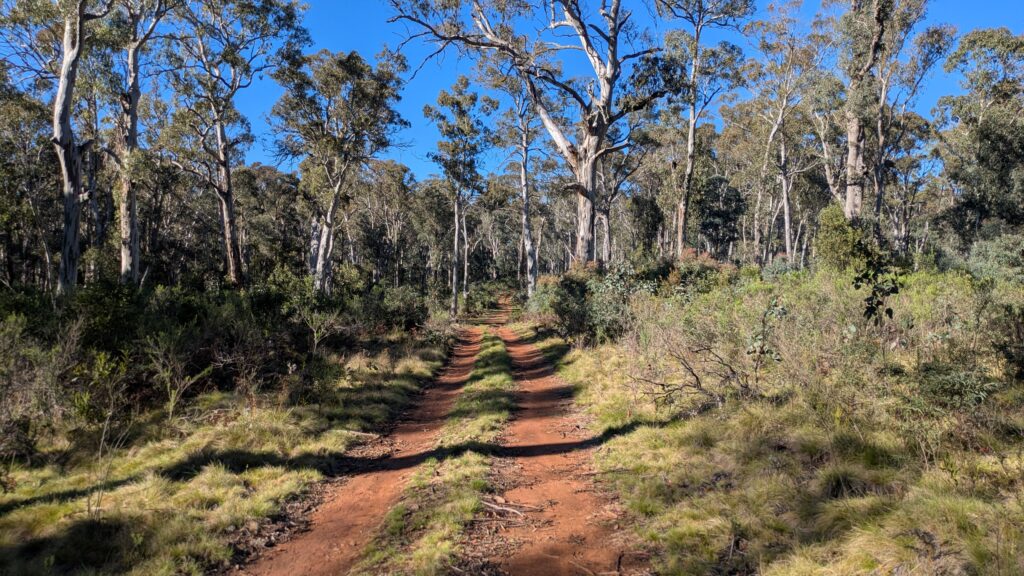
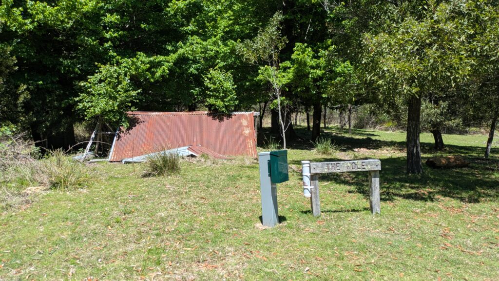
I had lunch at a historic structure inexplicably called The Hole and started passing through patches of open land. But the trail can lull you in and then spit you out – as soon as I hit the bottom of the valley the trail went straight back up the other side, a brutal climb on the last hour of a long day.
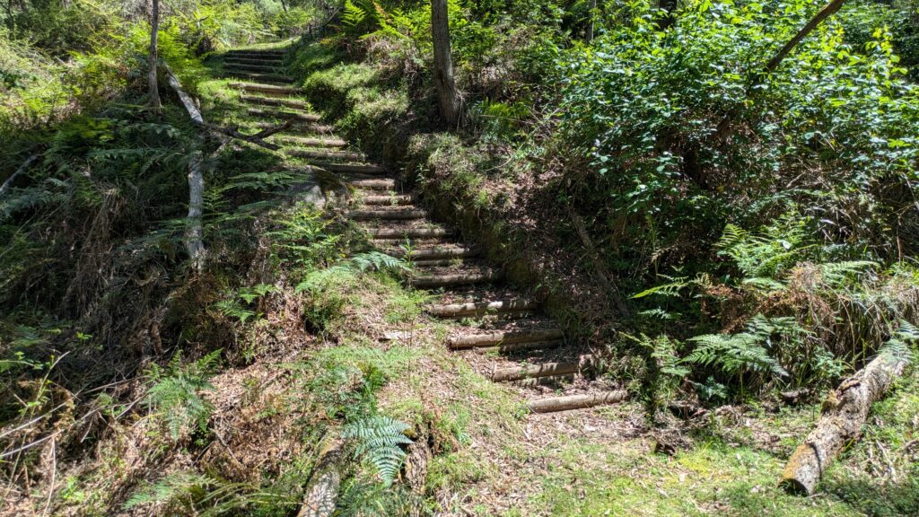
I camped that night at a public campground called the Thomas Boyd Trackhead, named after one of the six convicts that accompanied Hume and Hovell on their expedition. There were a couple other car campers there (and a phone signal!) but I kept well to myself so as not to spoil the ambiance of solo hiking.
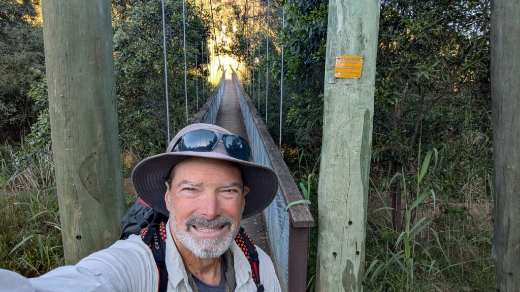
The next day was expected to be my last on the trail but again it didn’t quite work out that way. The plan was to walk about 25.7 km (16 miles) to finish at Blowering Dam but there were a few climbs between here and there and the sun was pumping so the task was big. The trail started off beautifully as I crossed and then followed the beautiful and easy to pronounce Goobarragandra River before branching off across some private land (the trail crosses private land occasionally with the owners’ permission) and up Wall Creek.
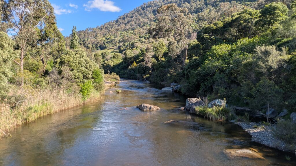
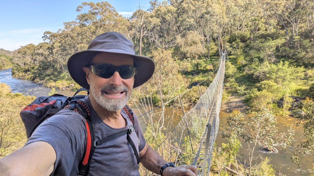
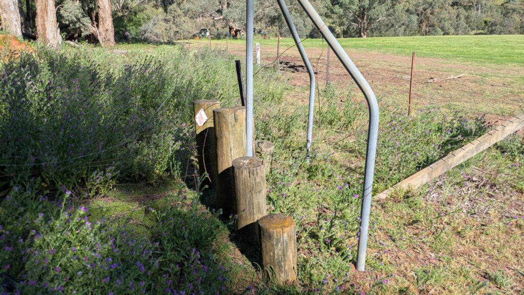
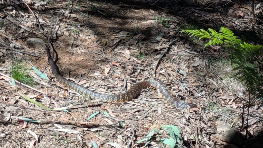
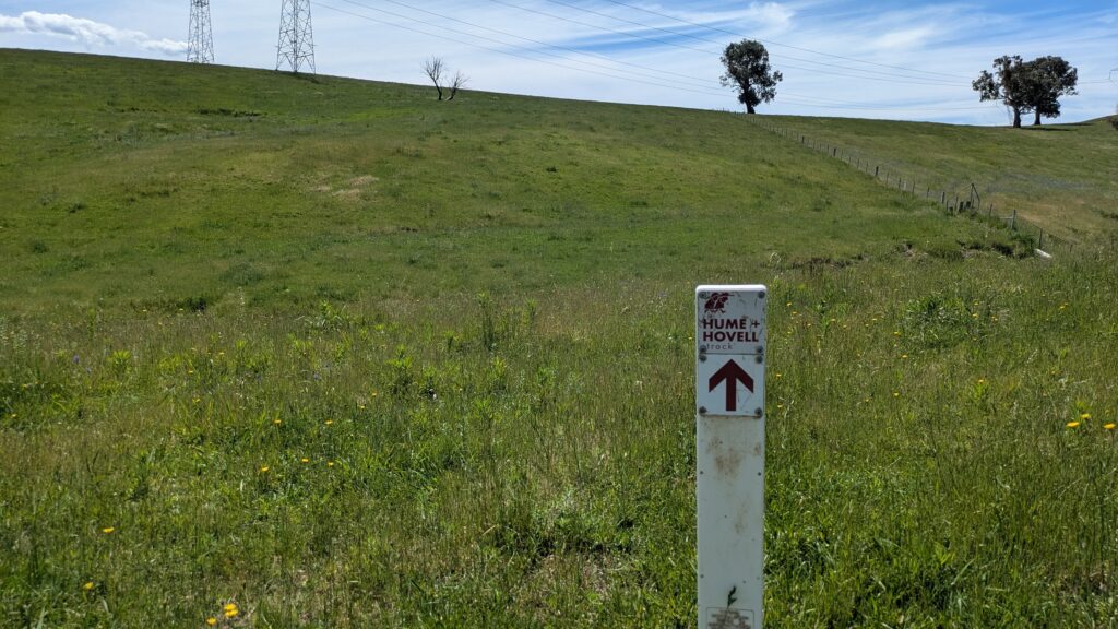
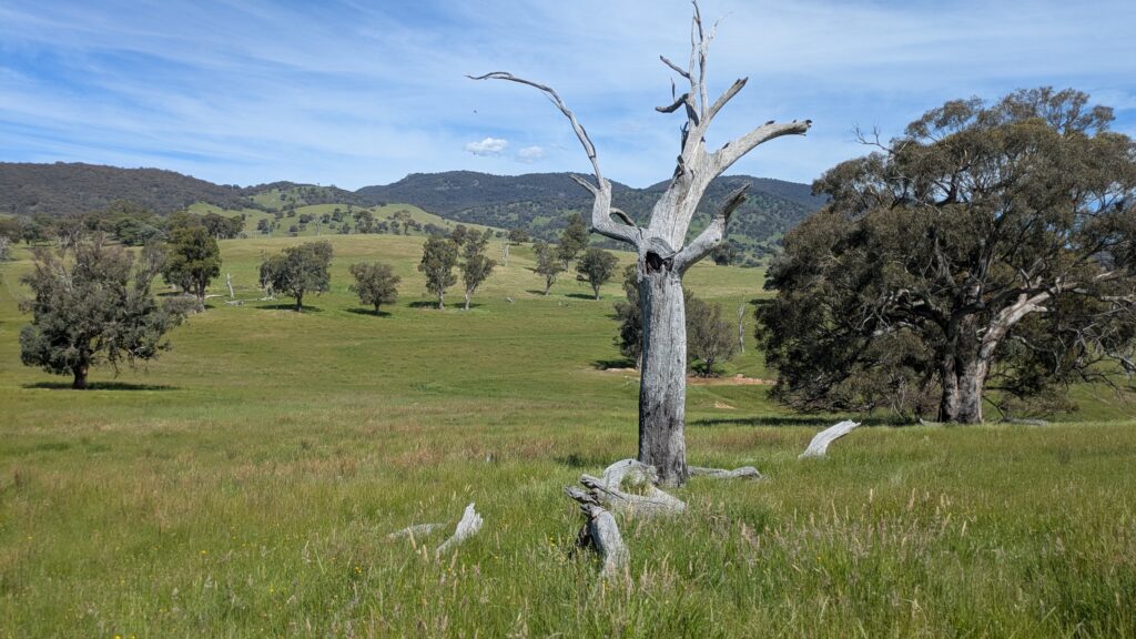
This was glorious open countryside, beautiful rolling hills with long flowing green grass, just wonderful land for the cattle and sheep that lived there. But the exposure to the sun and the steady climbs told me it was going to be a long day. And so it was up along a ridge, down the other side, over a stile to cross a fence and then I was presented with more beautiful open land, tall grass with very rarely a trail marker in sight. At times the grass was up to my waist and dragging my feet through it was hard work. And as to my constant concern about snakes…forget about it.
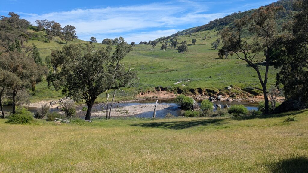
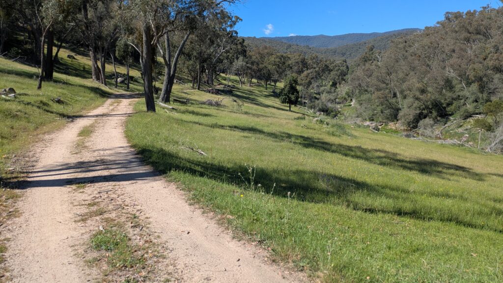
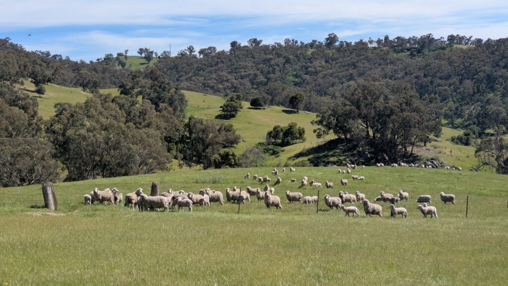
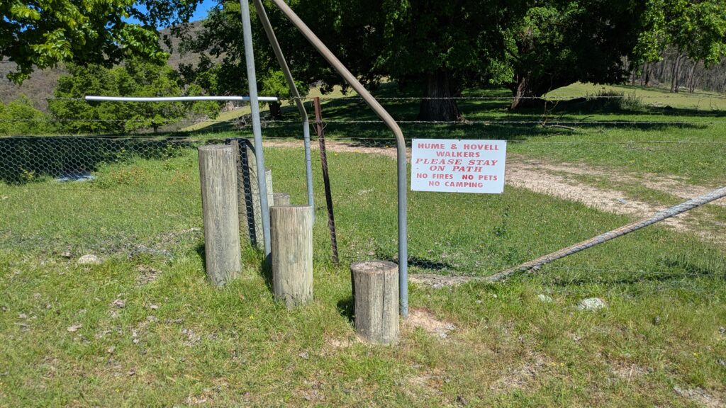
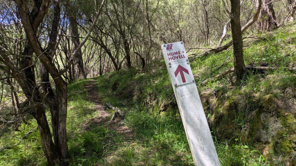
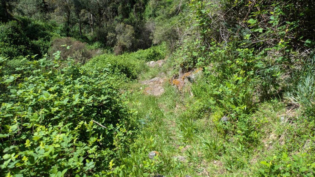
Because the trail is only lightly used and because it was spring with all the fresh tall grasses it sometimes became very difficult – or impossible – to know exactly where the trail was. I blindly drifted off-track many times and only my good sense of direction and trusty GPS kept me from getting seriously lost. Yes, it’s a gorgeous place but it was a long hot day and adding the extra distance and extra work was a pain.
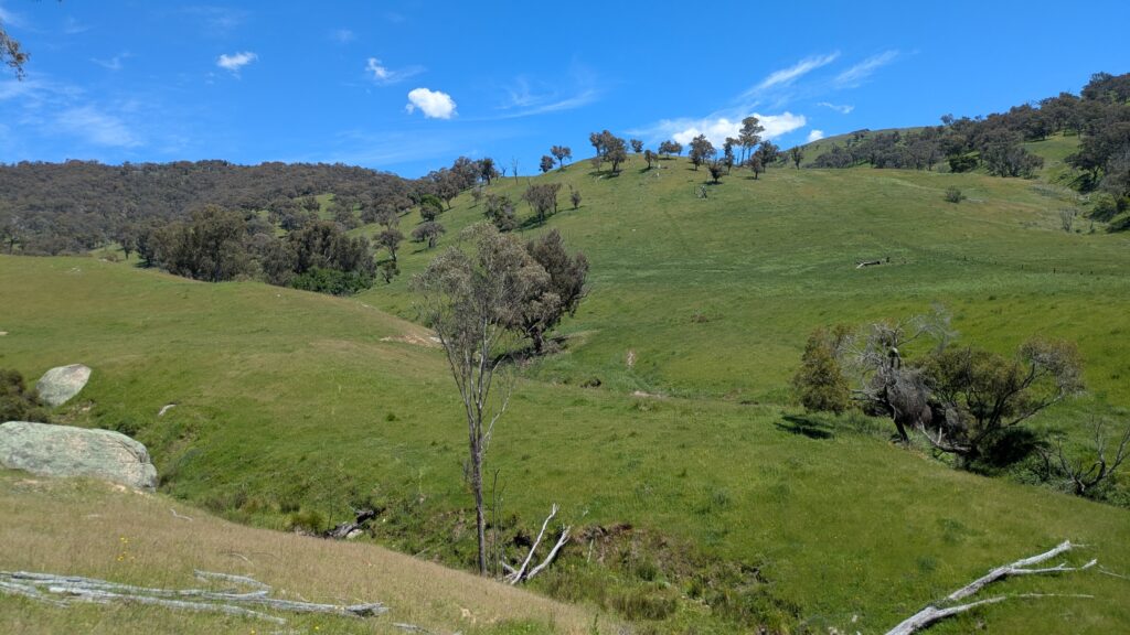
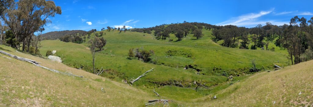
As the sun was getting lower and fatigue was setting in I knew I was going to have to find a place to camp before Blowering Dam. Never mind, Julie wasn’t expected to pick me up there until late the next morning so I could easily make the remaining distance before she arrived. So that’s what I did, setting up on the grassy verge at the end of a dead-end road next to the over-flowing Tumut River. It wasn’t postcard-perfect but it was exactly what I needed.
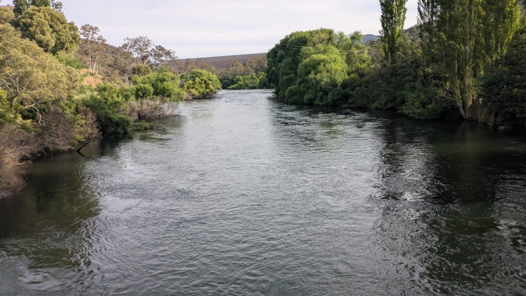
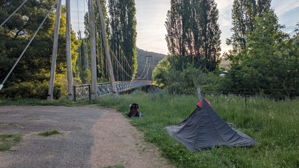
After a restful sleep I completed the last three kilometre trek up to the campsite on the shores of Blowering Dam, mission accomplished. Julie arrived on schedule with a big smile and another big hug and we drove off to our next event that afternoon – a nine year old granddaughter’s birthday party. What a great way to end the day!
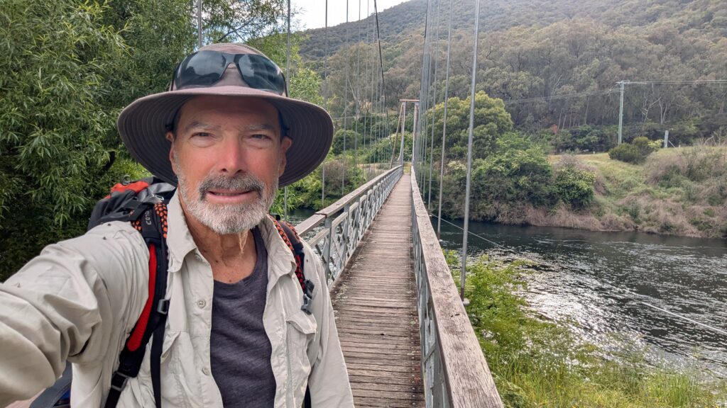
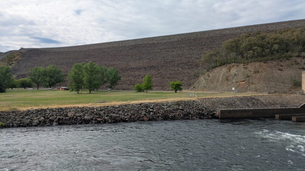
Final thoughts – I was looking for new challenges and to walk six days by myself through beautiful and rugged terrain was just the ticket. I enjoyed the serenity and solitude of being alone and now know I could do it again if the mood and opportunity strikes me…but it would be even better if I could share these experiences with my friends or family who want to join me.
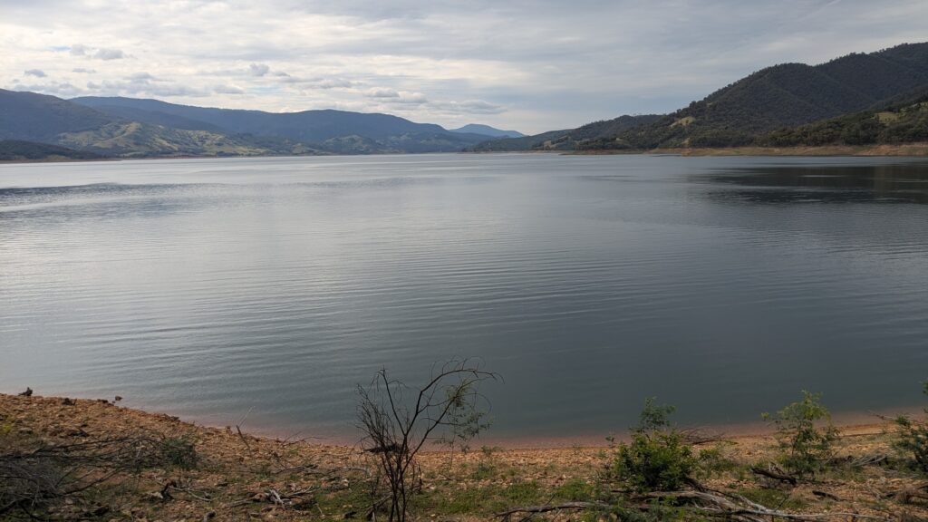
And along the way I learned more about the early exploration of unknown Australia and how two unlikely strangers came together to open up vast new land for the early settlers and establish an overland track between Sydney and Melbourne. I may do more of the Hume and Hovell track in the future, or maybe not, but I am wiser, stronger and happier for this wonderful experience.
Comments
The Hume and Hovell Track — No Comments
HTML tags allowed in your comment: <a href="" title=""> <abbr title=""> <acronym title=""> <b> <blockquote cite=""> <cite> <code> <del datetime=""> <em> <i> <q cite=""> <s> <strike> <strong>