
The Pamir Highway
Travelling along the Pamir Highway is possibly the ultimate experience for any visitor to Central Asia and has been the part of this trip I have most looked forward to. For most of it’s path the highway is more like rutted old road or a dirt track carved into steep mountain walls, following deep valleys with raging rivers down below. It crosses over 4,000 metre passes, past ancient villages and through some of the most dramatic mountains in the world. It’s not for the faint-hearted, that’s for sure, but the six of us were ready to tackle this seven day adventure in southern and eastern Tajikistan.
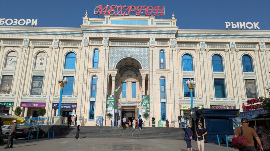
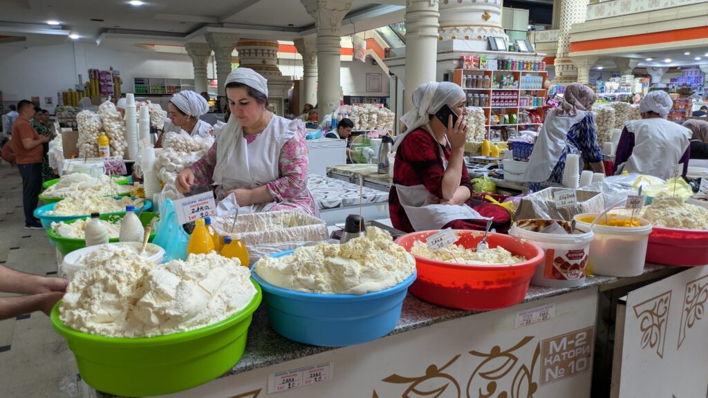
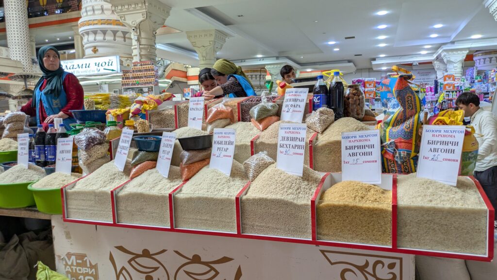
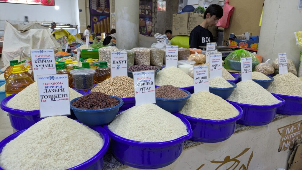
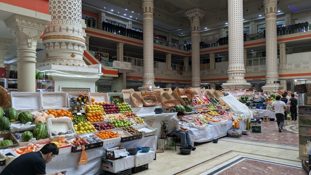
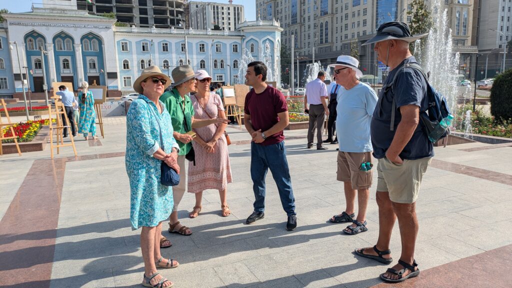
Our visit to the smallest and least-well developed Central Asian country started in it’s capital of Dushanbe which we flew to from Almaty Kazakhstan and spent two nights orientating ourselves to this new world. Dushanbe immediately impressed us – clean and mostly modern, especially along it’s main thoroughfares, friendly people everywhere and an obvious pride of their city and culture.
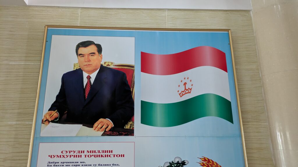
We enjoyed a two hour walking tour of downtown Dushanbe to learn more about this city and our guide was quick to spin a very positive story of his homeland. We know that Tajikistan was another satellite state of the USSR which gained it’s independence in 1991 but suffered six years of violent civil war before finally settling on some sort of an acceptable political solution. It is still an authoritative state with the same dubiously elected President since 1994 and is regarded as the poorest cousin of the region.
But the Tajik people have lived in this region for eons and can be found by their millions in Uzbekistan, Afghanistan, Russia and Kyrgyzstan as well as within their borders. The landlocked country is 93% mountainous, grows only 16% of it’s own produce and heavily relies on foreign aid and support to feed it’s people.
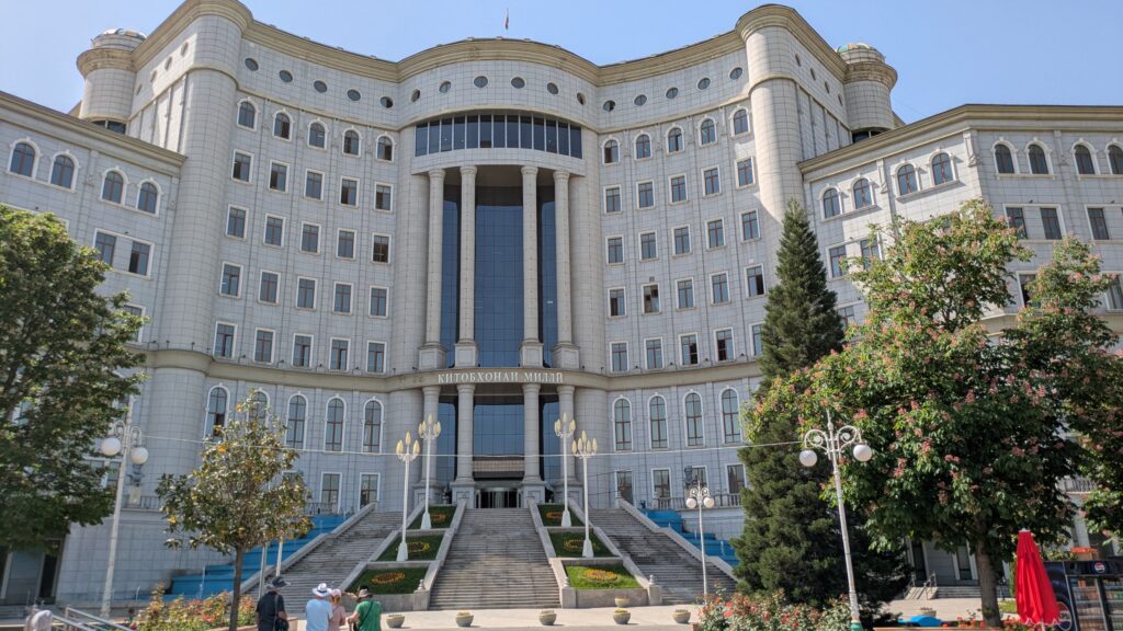
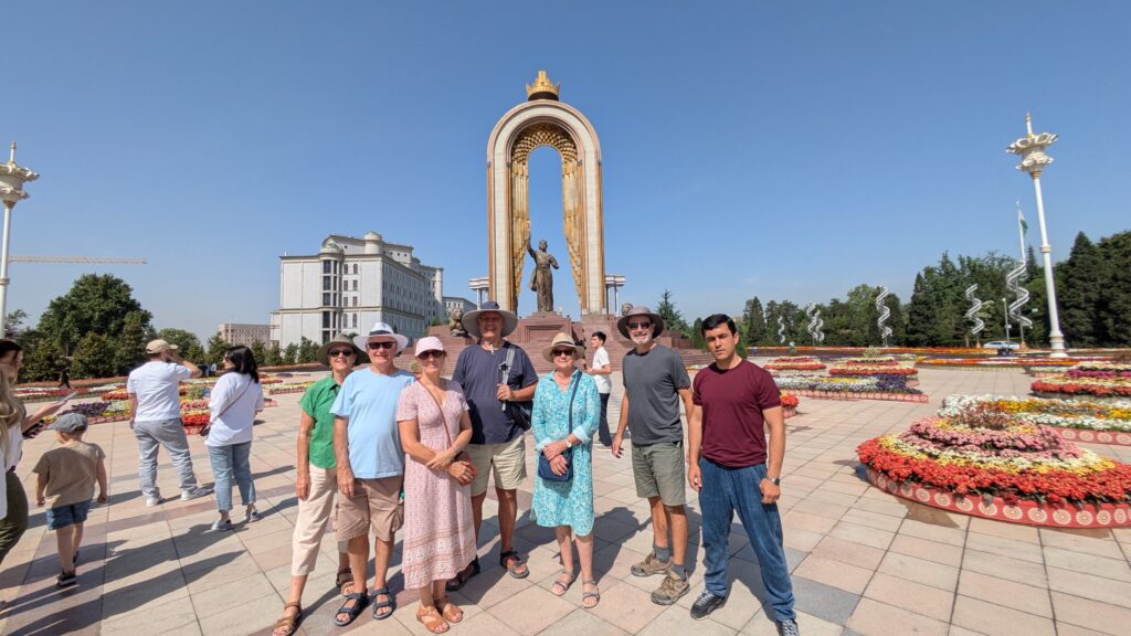
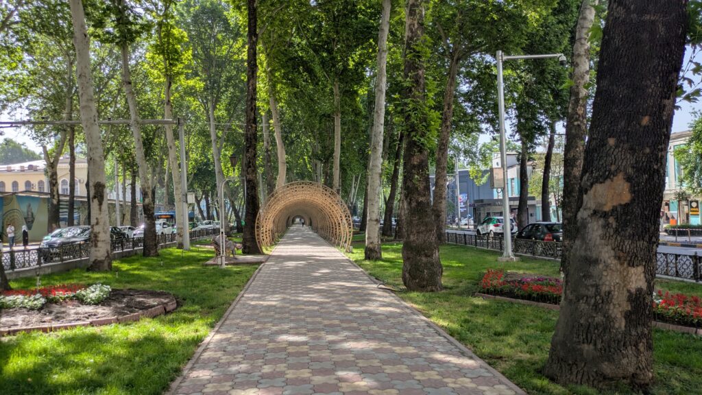
Dushanbe showed none of these challenges – the city had wide tree-lined streets, bustling shopping malls, super-cheap taxis flying everywhere, the most beautiful and extensive public flower gardens you’ve ever seen and a number of huge palaces and government buildings that were grand if not useful. We like Dushanbe.
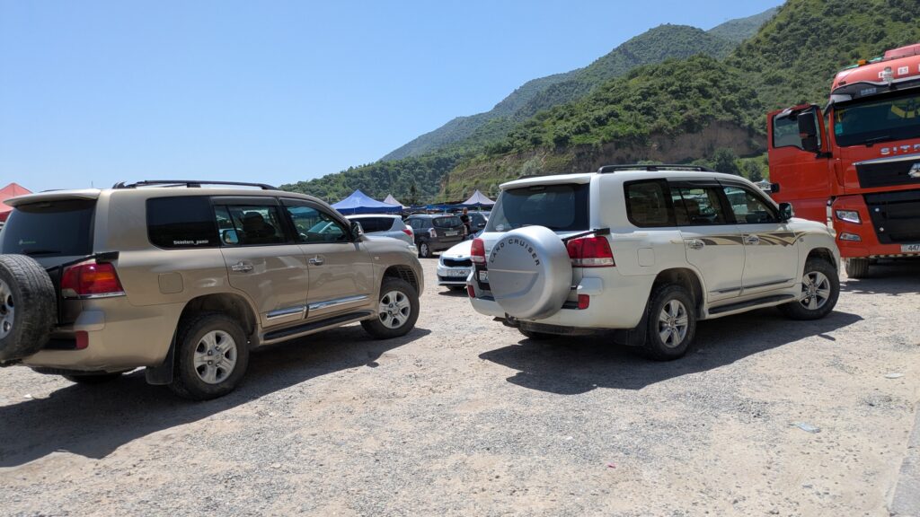
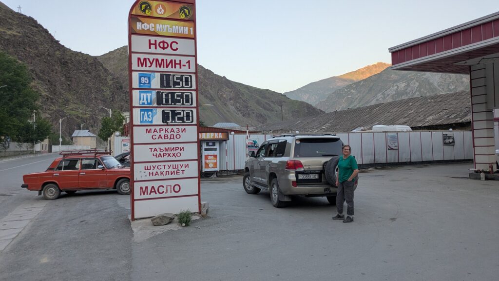
But the Pamir Highway beckoned so after spending a day exploring the capital we met our two drivers Omar and Daniel (or so we called him) and piled into their four-wheel drive vehicles for our week-long trip through the Pamirs, a vast semi-autonomous region of southern and eastern Tajikistan.
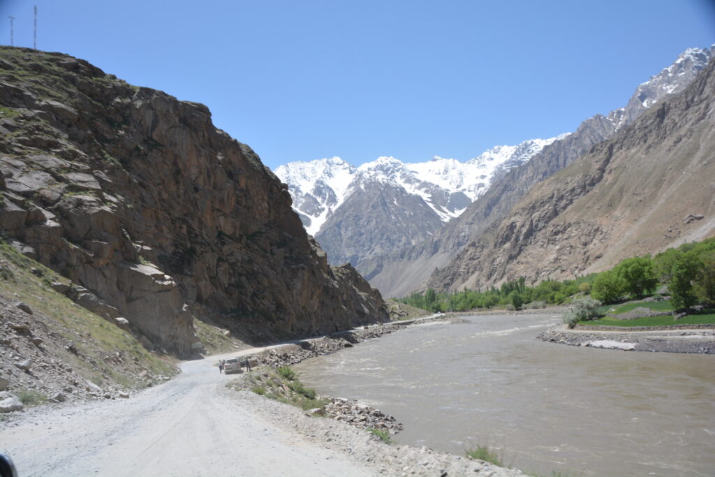
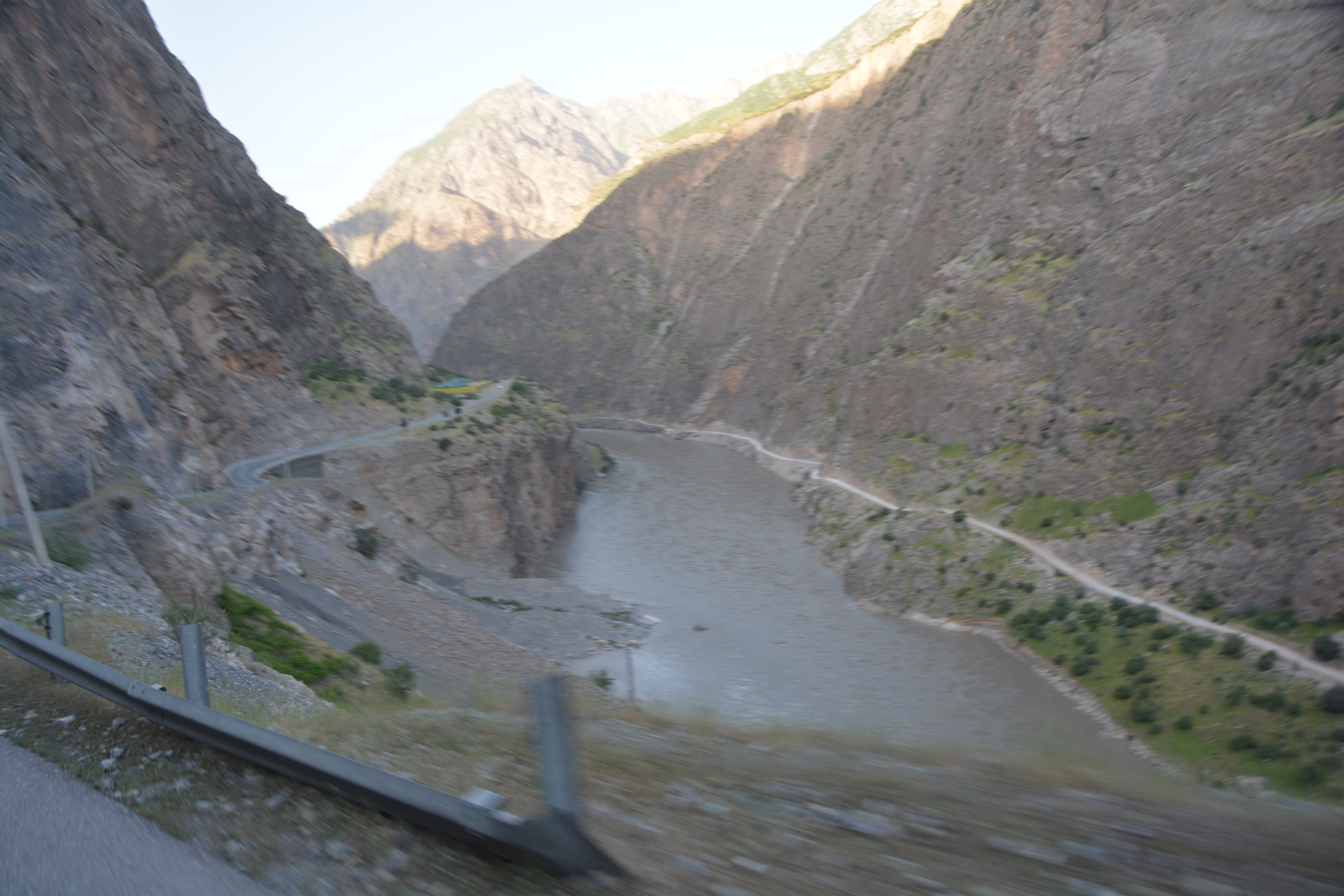
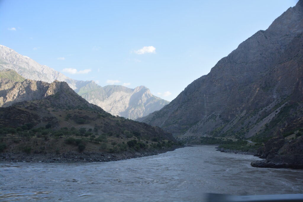
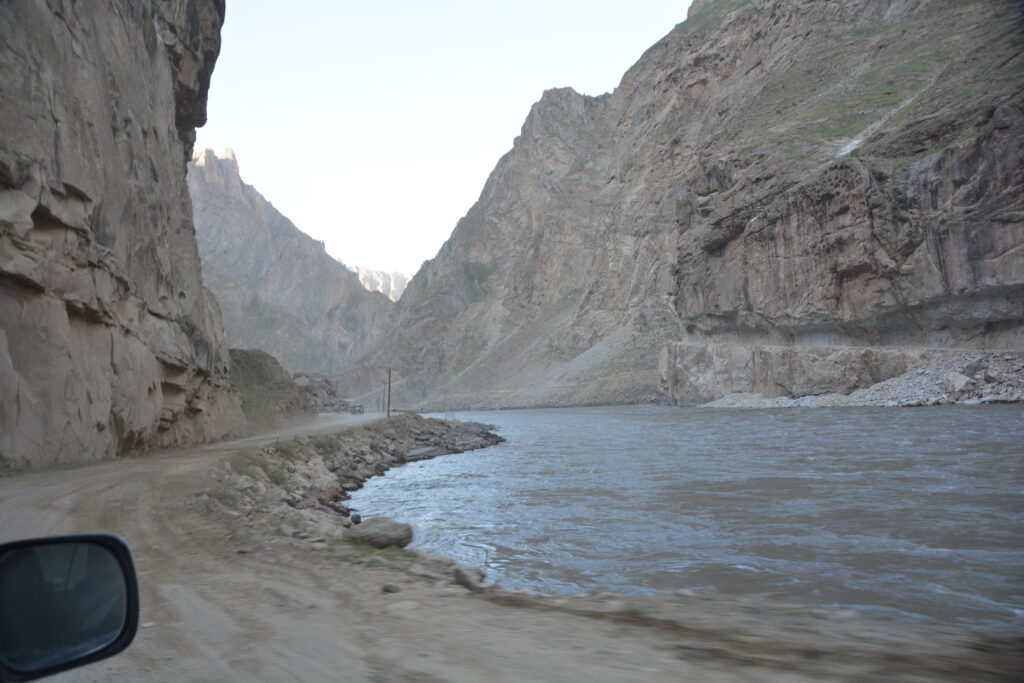
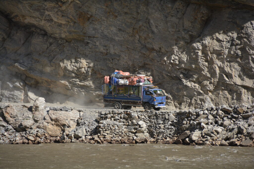
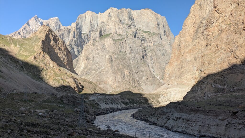
The highway, if you can call it that, plays a critical role in transporting people and goods across a region which features extensive high jagged mountains and virtually impenetrable terrain. The road is carved into the mountain side as it follows the Panj River which collects and disgorges glacier melt water in a raging torrent.
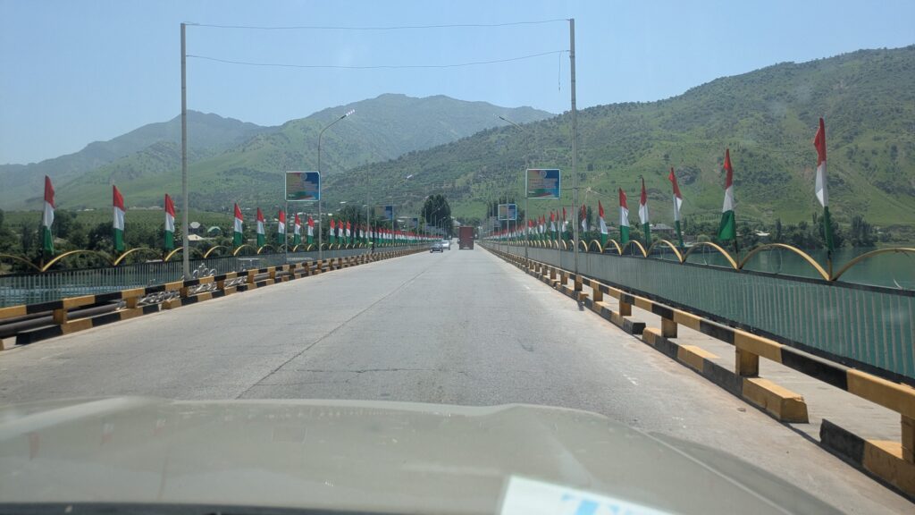
Still to this day the road is used as the only way to move imported goods from China into Tajikistan, Turkmenistan and Uzbekistan. It is open year-round despite harsh winters and appears to be in a permanent state of repair (or disrepair!). It is rugged and a little scary at times but rewards the traveller with absolutely unsurpassed beauty.
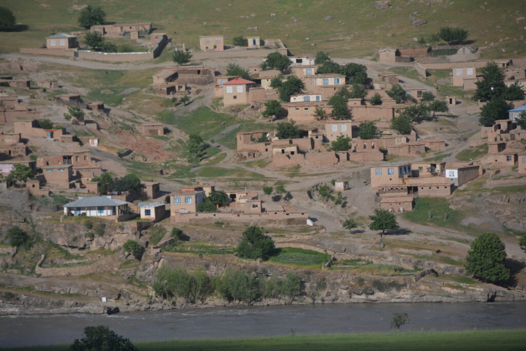
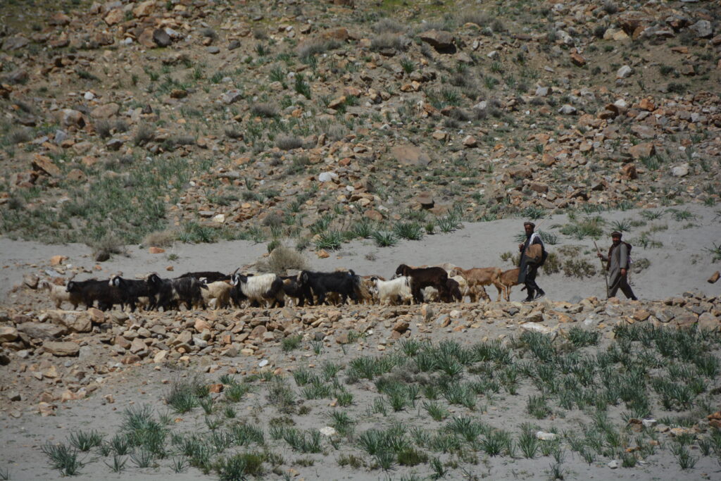
And the real kicker to the whole thing is that the Panj River separates Tajikistan from Afghanistan so one aspect of the journey along the Pamir Highway is basically a spectacle of what Afghan life is like now that it is ruled by the Taliban.
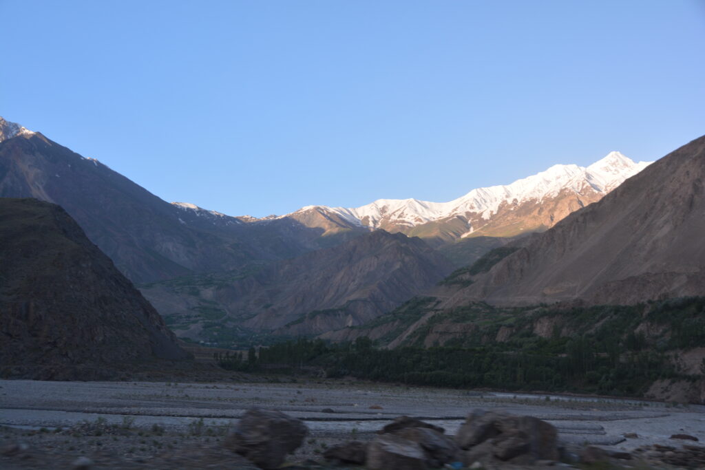
We left Dushanbe and headed south over green rolling hills until eventually the hills turned into mountains and the road evolved into steep climbs, switchbacks and fab views. Eventually we descended into the deep valley, more like a canyon, that the river had carved over millions of years. And as we stopped to gaze down at this beautiful scenery we knew the snow-capped mountains opposite us were actually in Afghanistan.
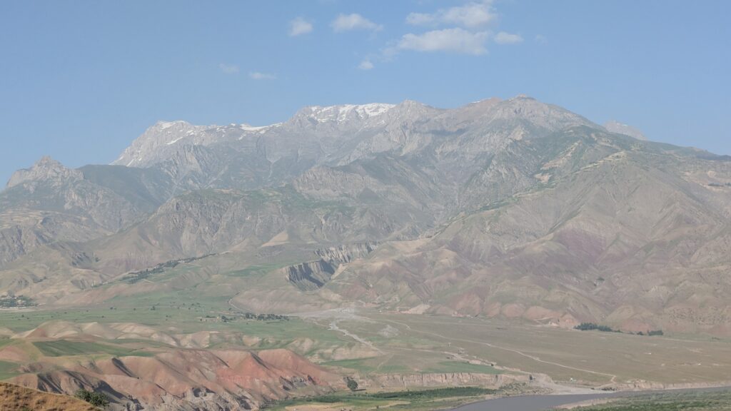
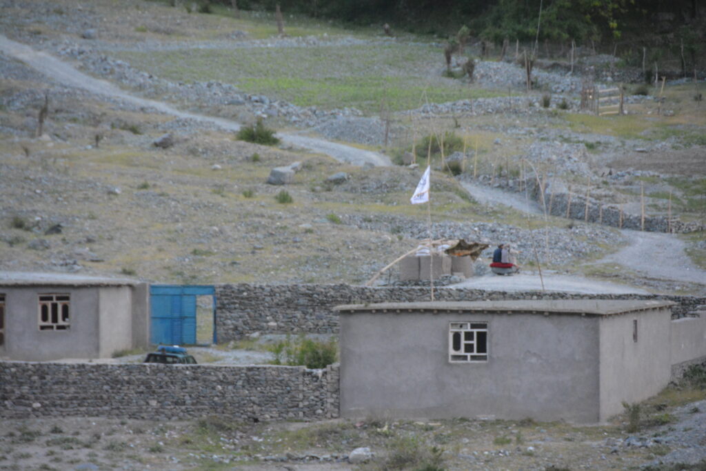
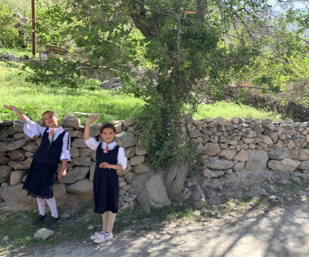
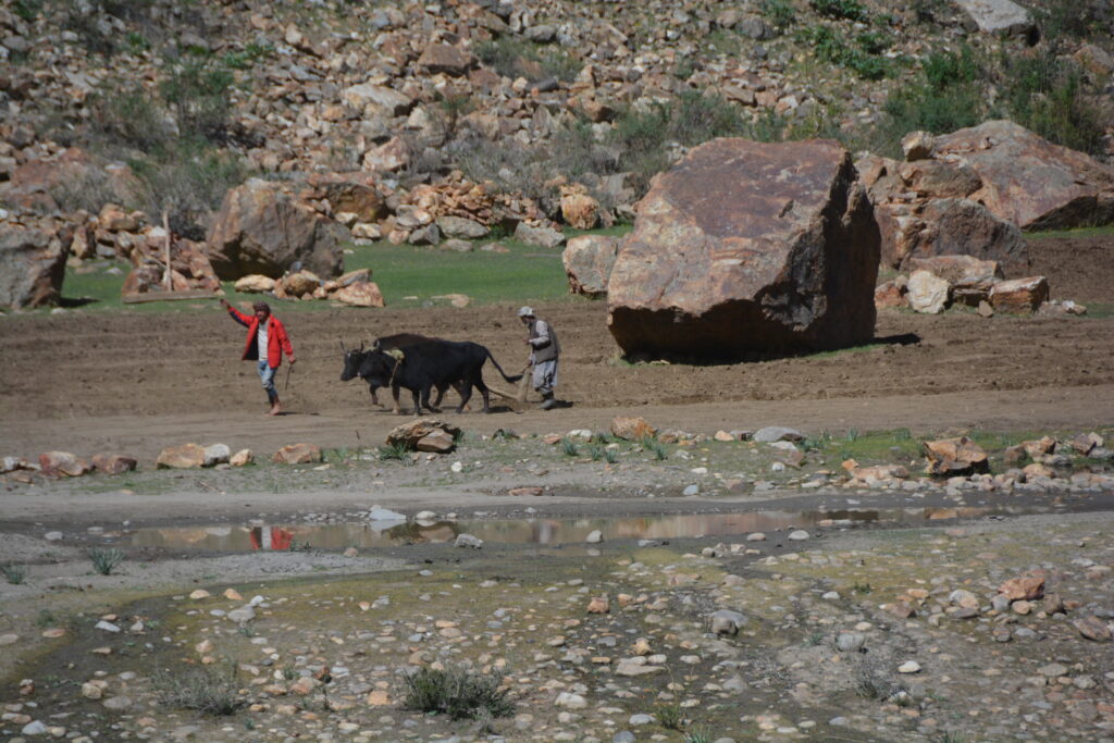
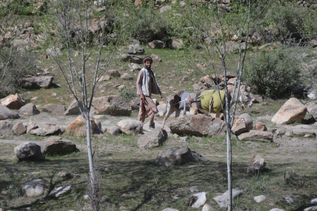
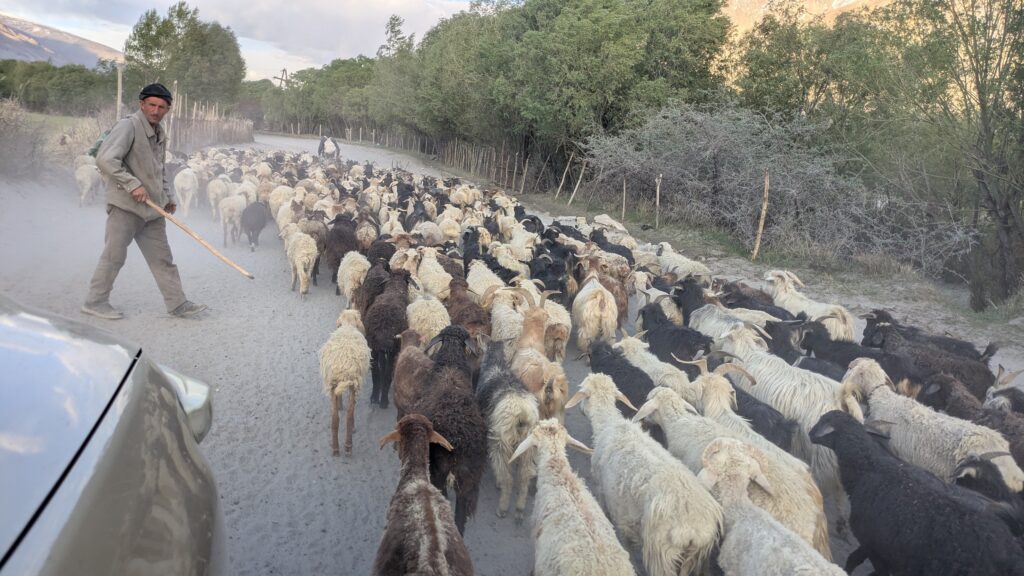
We followed the river travelling upstream, the road sometimes dipping down to the water’s edge while other times rising more than 100 metres above the murky grey raging river. The mountain walls rising above us were absolutely stunning and of course every farmer, every guy on a motorbike, every little village on the other side of the river fascinated us. In this remote corner of the world, largely cut off from everyone else, we suspect their priorities are not anything to do with politics or the world order but instead they were focused on feeding their family and getting on with life.
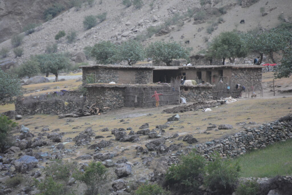
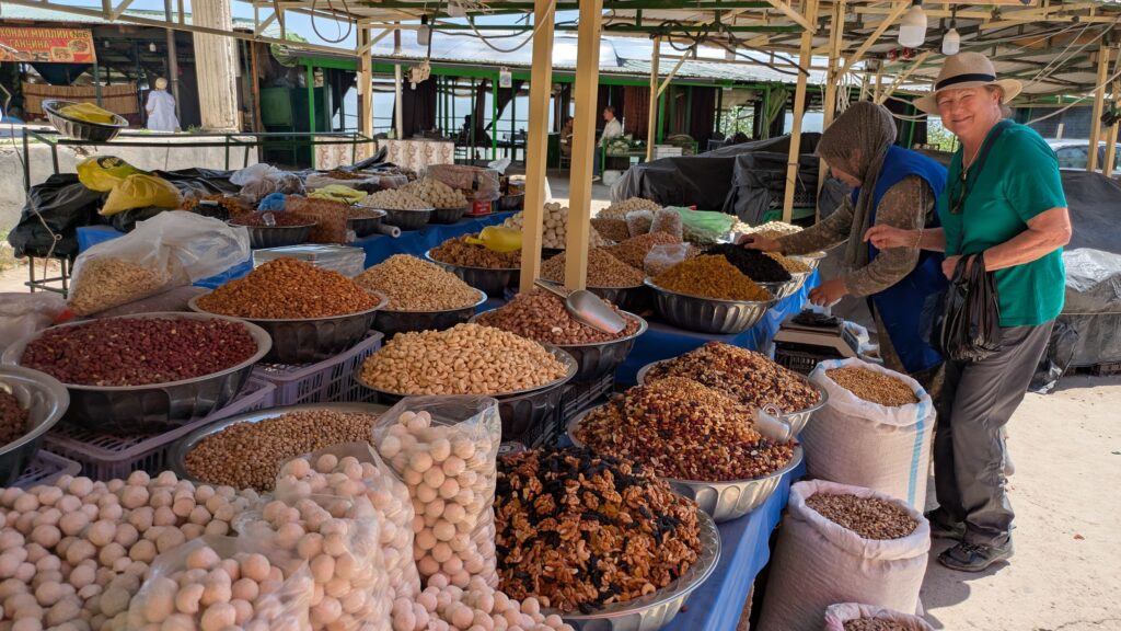
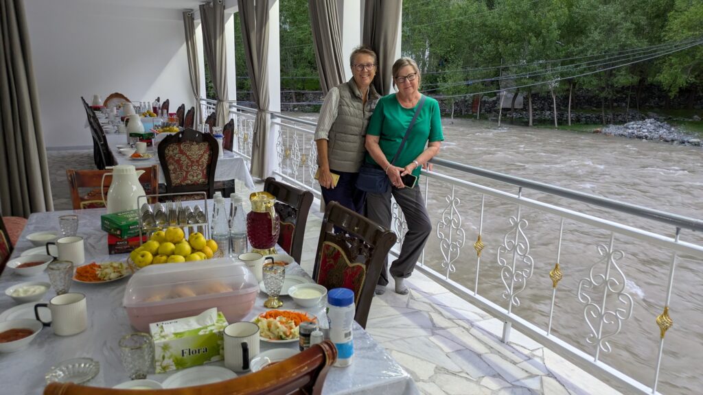
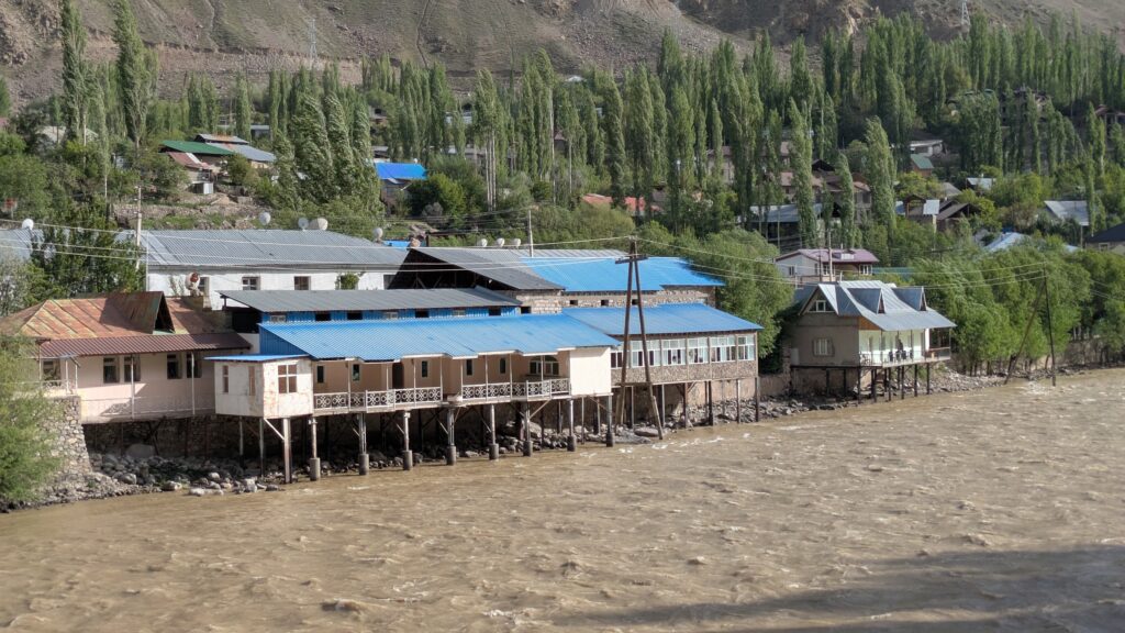
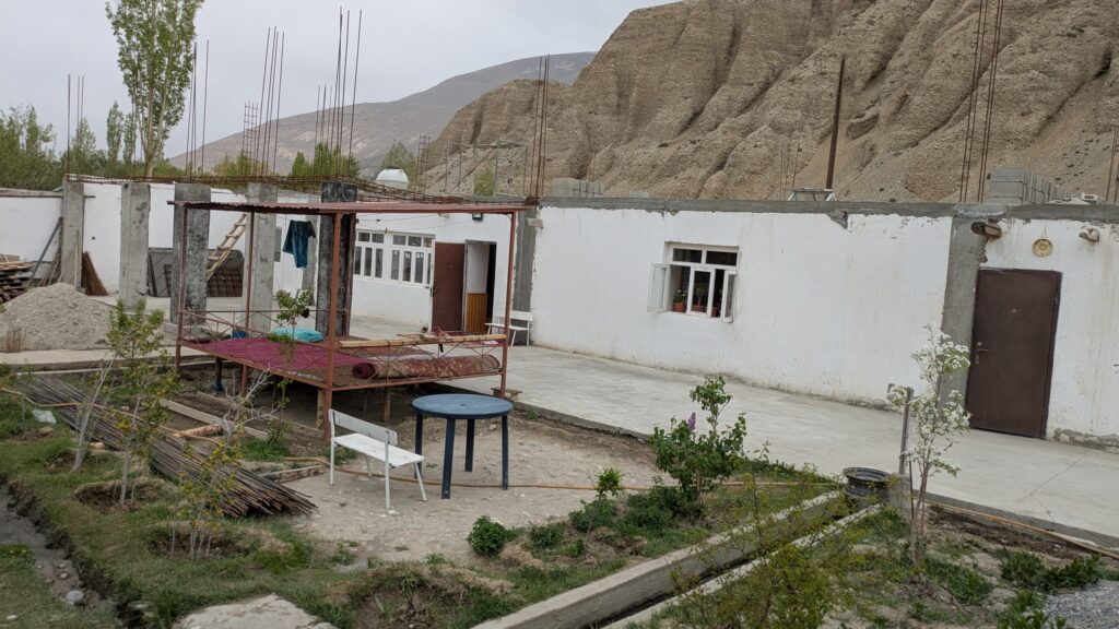
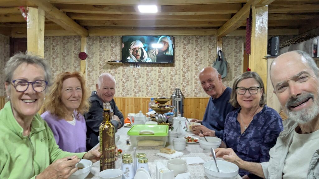
We stopped all the time, taking in these timeless scenes, gazing up at the mountains and down at the poorly maintained road, knowing full well photos will not do it justice. Near dark we pulled into the village of Kalaikhurn and stayed the night in a small but tidy guesthouse, fed a wholesome local meal which of course included the Tajik national dish of plov which is basically a rice dish with maybe some veggies and some meat. Plov lives up to it’s name.
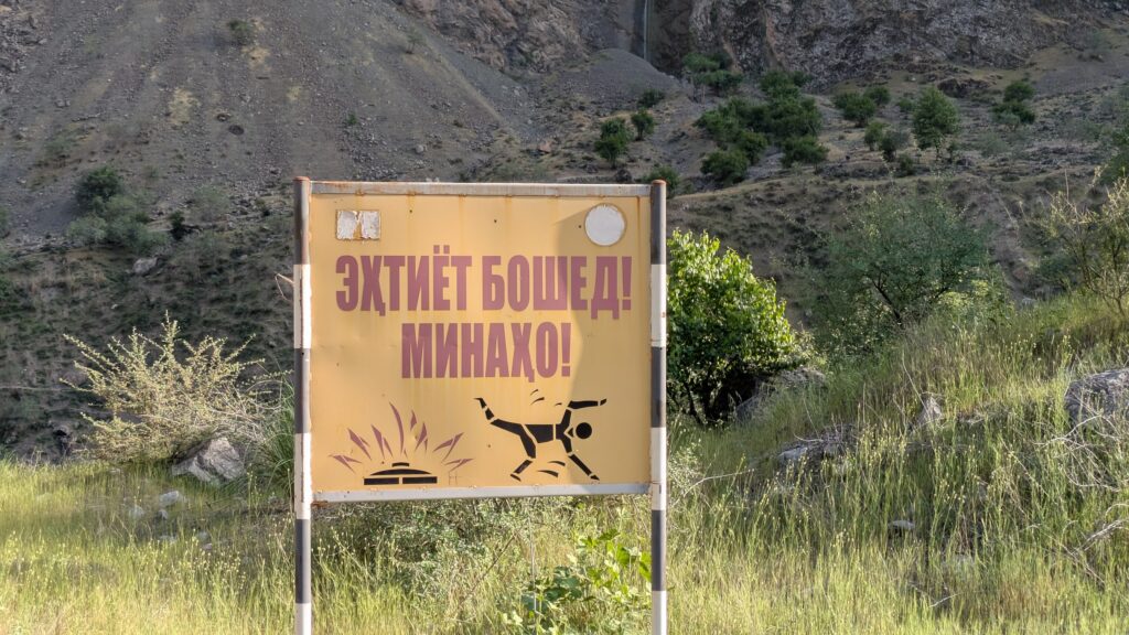
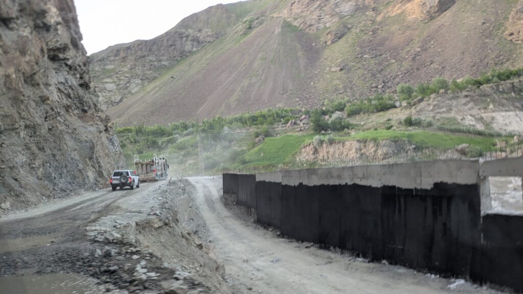
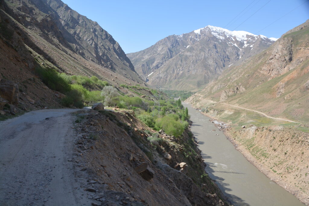
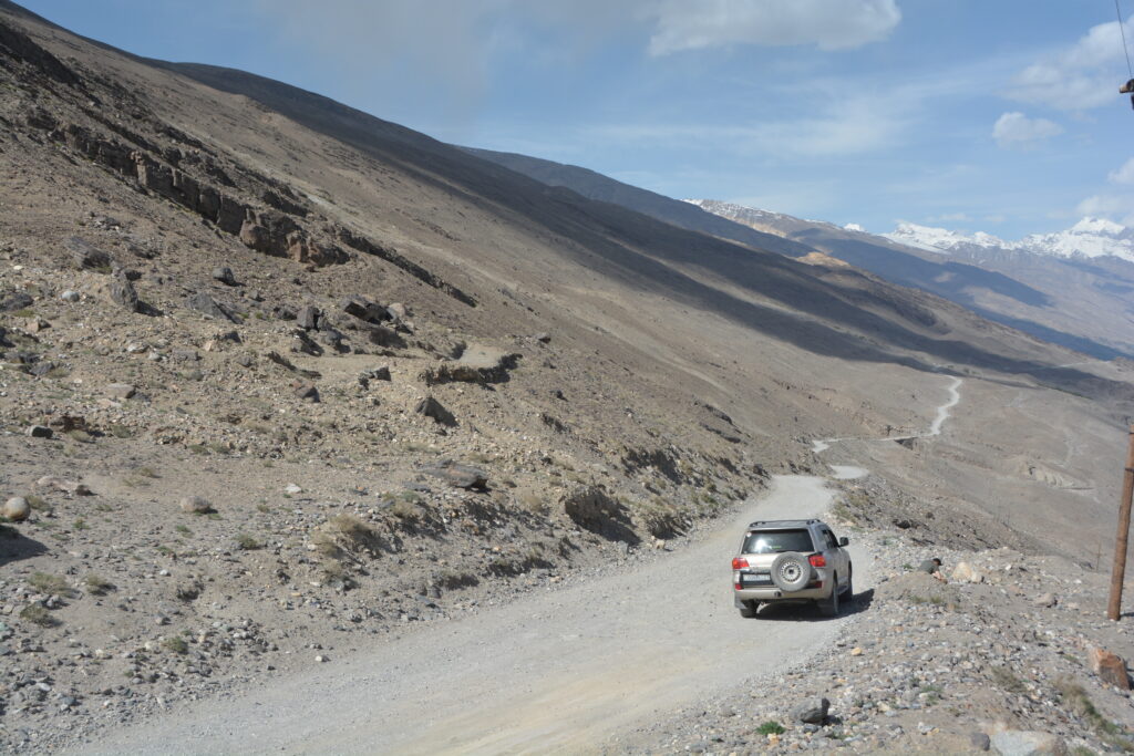
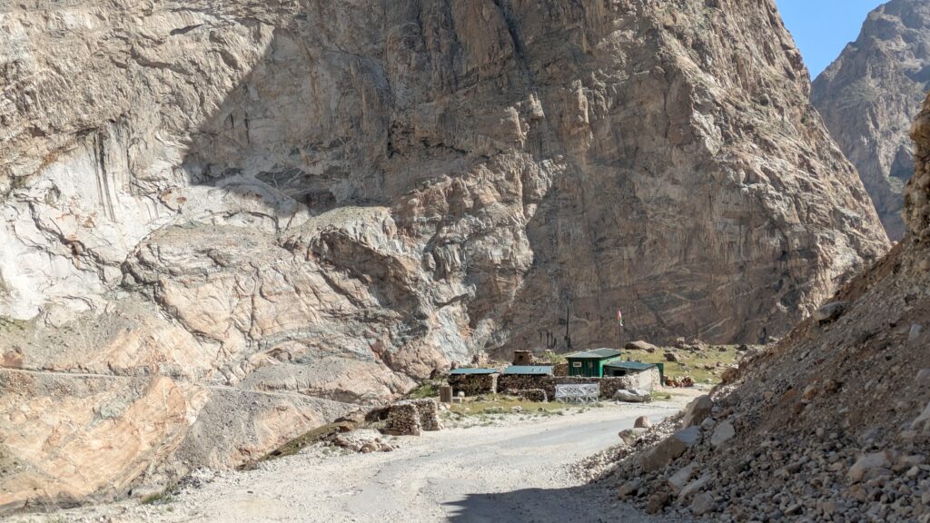
The next day from Kalaikhurn to Khorog, the largest to town in the Pamir, features some of the most dramatic scenery and sketchiest sections of road but also has almost non-stop construction to repair and improve the quality and safety of the road. The Chinese road crews close a large section of the road all day which means the only way to beat their system is to start at 4am and finish the worst part before 07.30.
So that’s what we did, travelling along the road in the pitch dark, the sound of the racing river never far away, enjoying the early dawn as it slowly crept into the canyon and again watching with fascination any activity on the other side. And other than a few small villages and a few farmers tending their meagre fields we mainly saw Toyota Landcruisers cruising up and down the dirt road that followed the river on the Afghan side. As Omar explained, these are Taliban soldiers, monitoring their border with Tajikistan and keeping an eye on activities on both sides of the river.
The drive to Khorog was one of the most spectacular and fascinating drives Julie and I had ever done and we just loved every aspect of it. Yes, sadly, we weren’t doing it in Tramp and travelling at our pace but that’s okay, we are adapting well to the new routine of travelling with good friends in two vehicles, sleeping in hardtop accommodation and eating three meals a day in restaurants.
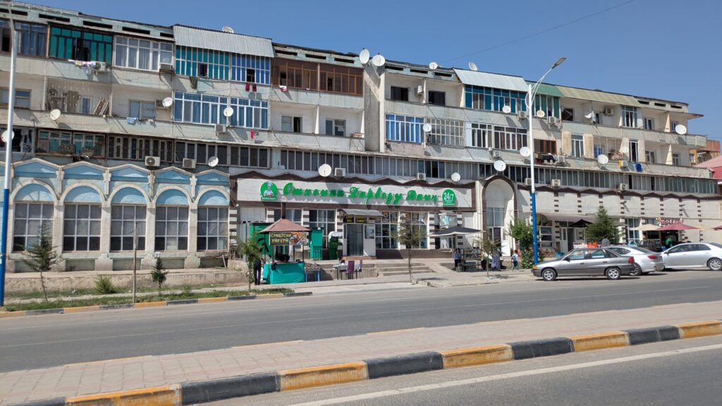
Khorog with it’s 30,000 people is definitely the big smoke of the region and we stayed in a great little three star hotel, the Pamir Palace Hotel no less, took a trip up the mountain to check out their botanical garden (meh) and wandered around town rubbing shoulders with the locals. Of course at over 2,000 metres with snow-capped mountains all around it’s a pretty good overall package.
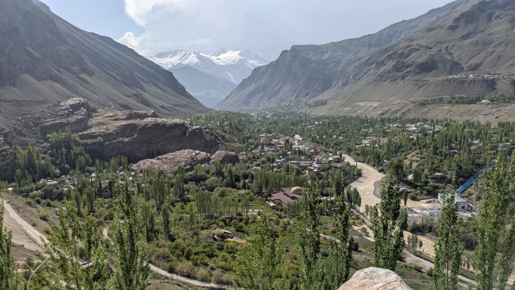
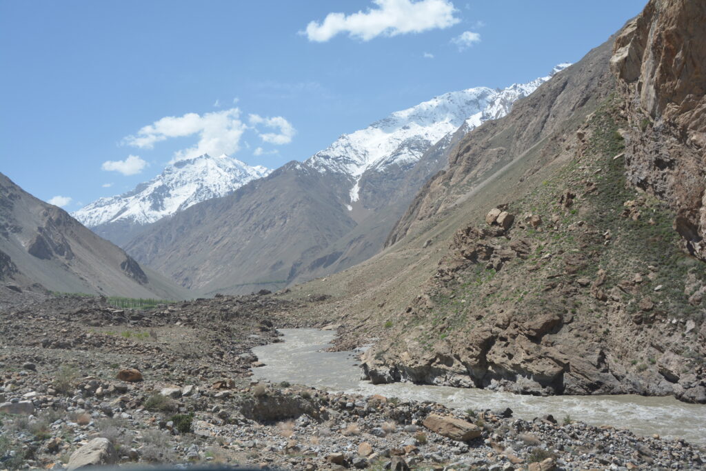
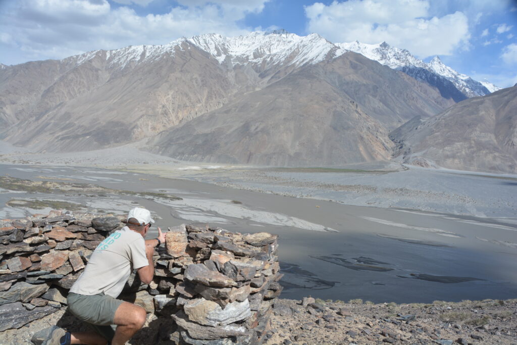
The Panj River continued it’s frantic pace downhill through it’s deeply cut canyon while we travelled upstream, hugging it’s northern shore under another perfect blue sky. The mountains on the Afghan side all featured snowy white tops and the rough dirt track used by locals and their military on their side continued to hug the steep rocky edge. We stopped regularly for photos and just to take in this fabulous scene, pinching ourselves not just for the magnificence of the setting but the remote location we find ourselves. Just awesome.
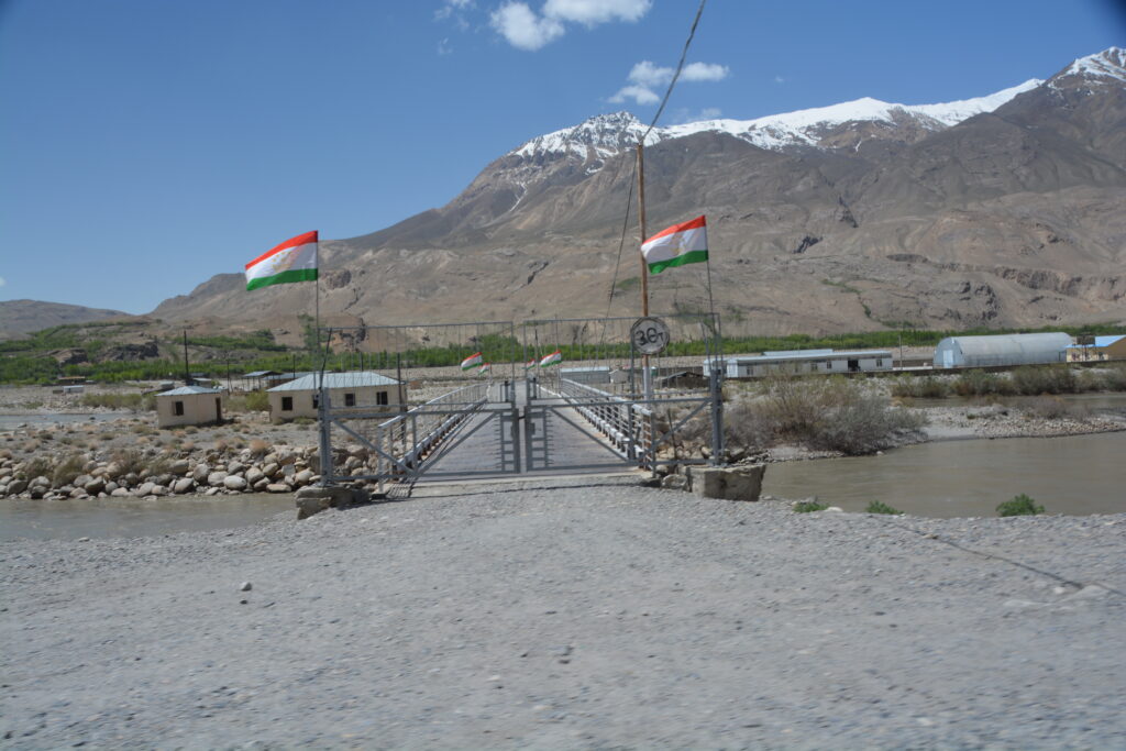
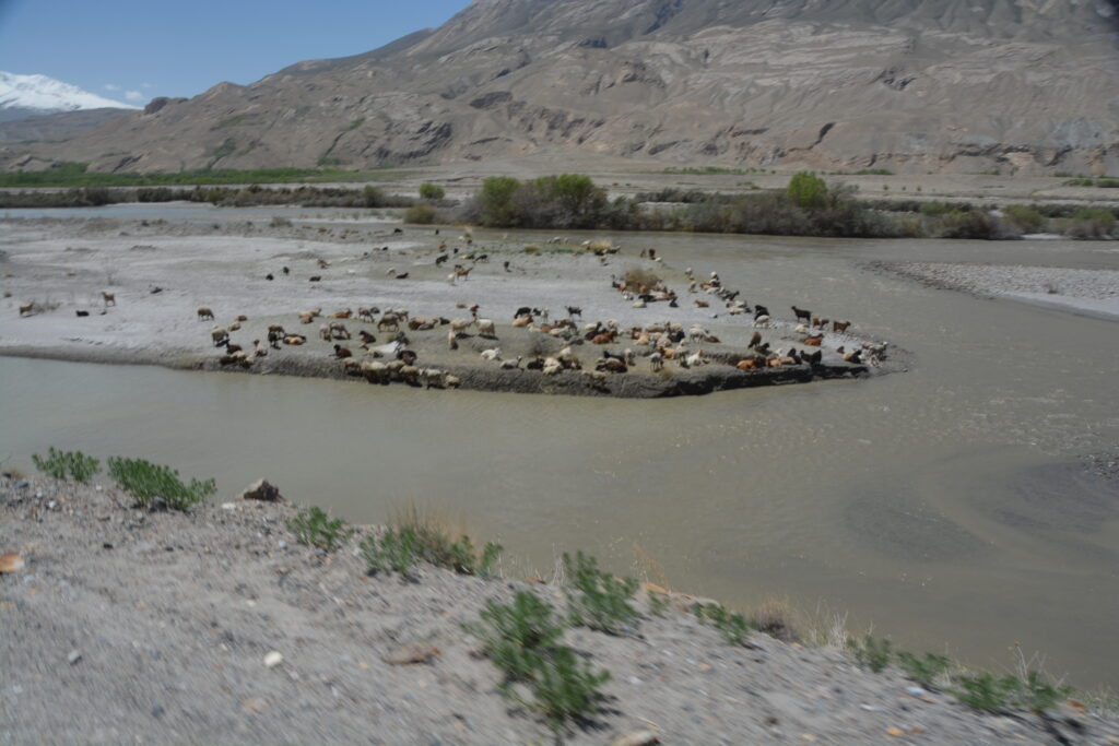
We stopped for lunch and to buy snacks at the town of Ishkashim and then entered what is referred to as the Wakhan Valley where the mountains open up a bit, the river spreads out and farmers tend their crops on the flood plain from both sides of the river.
At some stage the Panj River turned into the Pyandzh River but the scenery stayed the same.
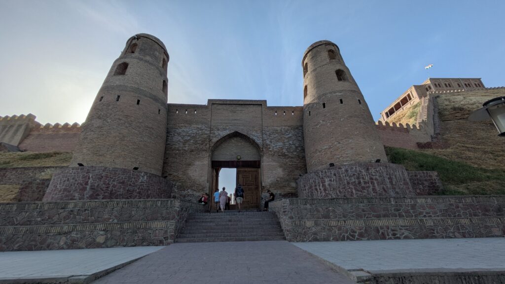
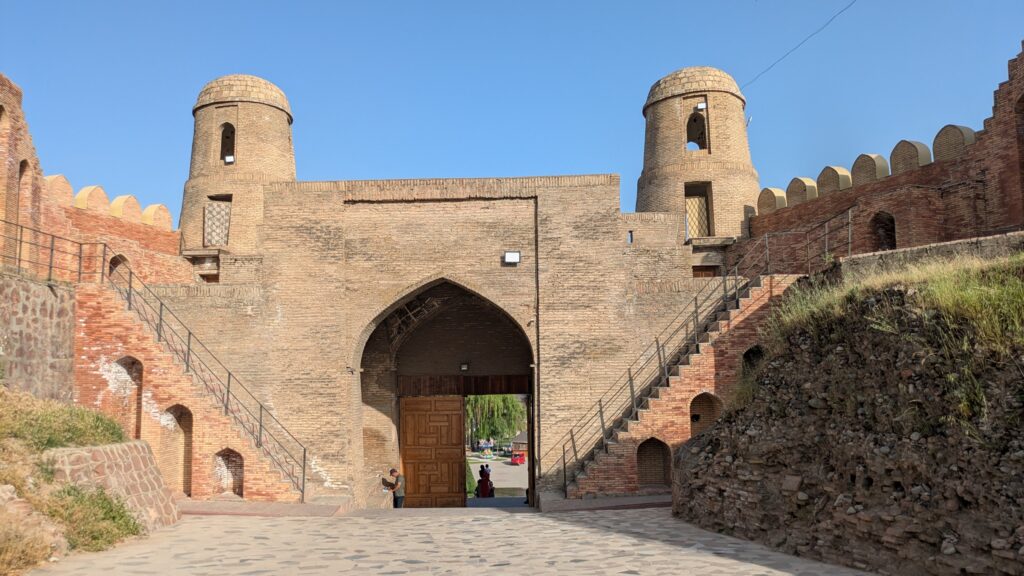
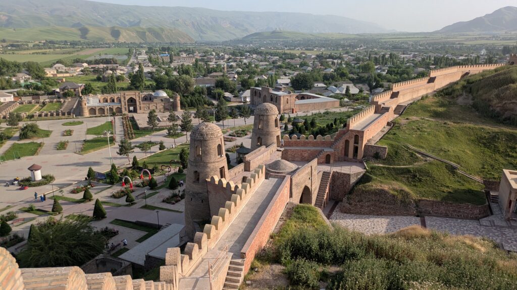
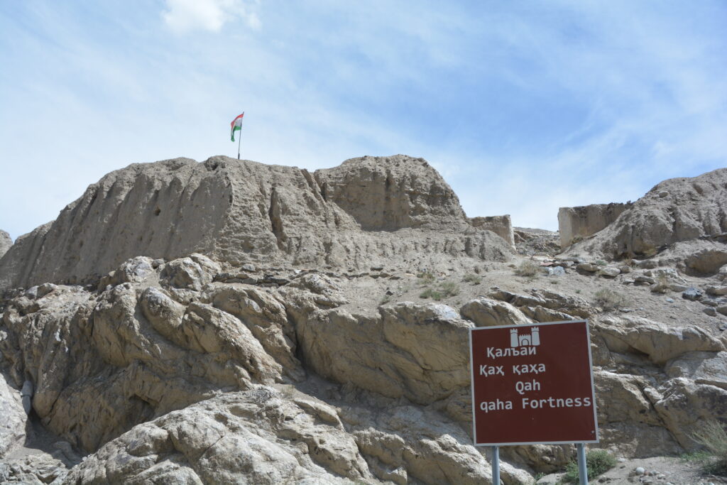
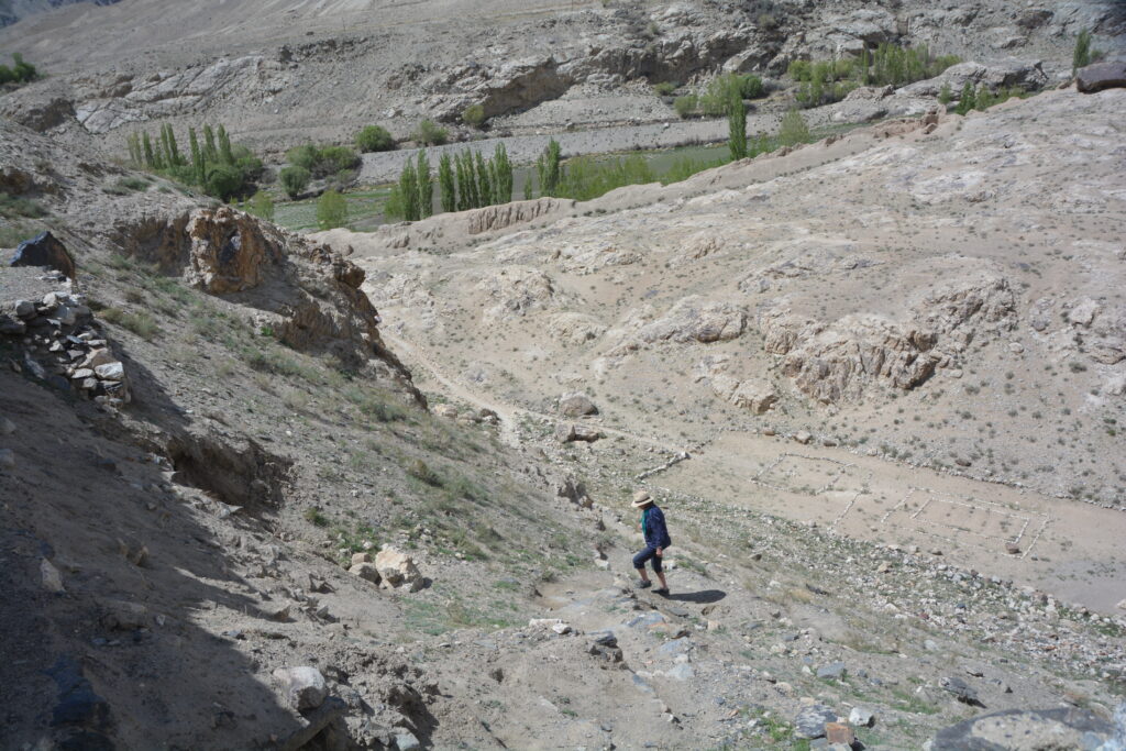
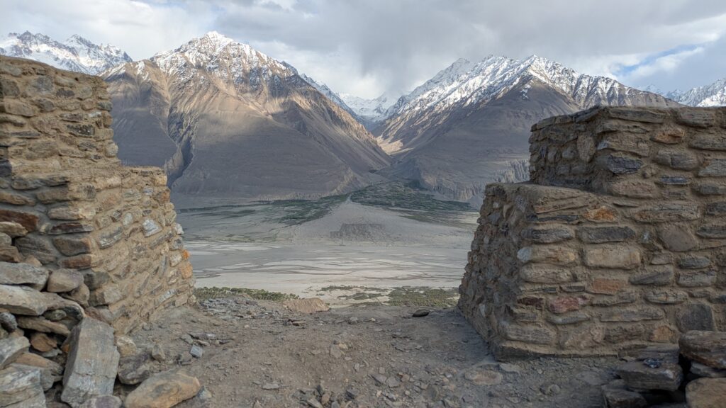
We stopped to explore the remains of the Khakha Fortress, a second century BC mud brick fortress perched high on a bluff overlooking the river. How they built this large fortress so long ago such that some of it’s walls are still standing is beyond me.
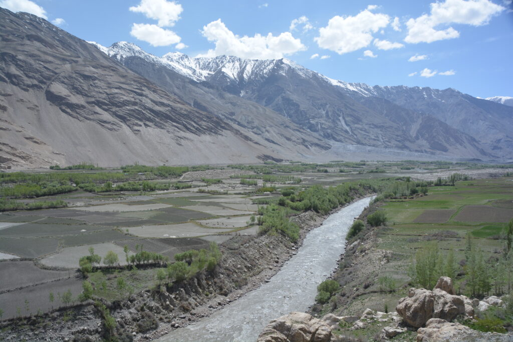
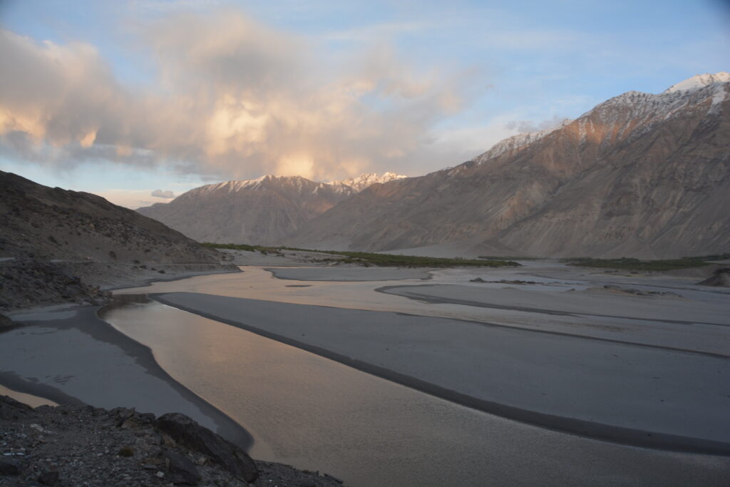
The Wakhan Valley provided a completely different vibe to the previous narrow canyons of the Pamir Highway. The river threaded it’s way through many channels across the width of the valley floor and there were often groves of trees lining it’s shoreline.
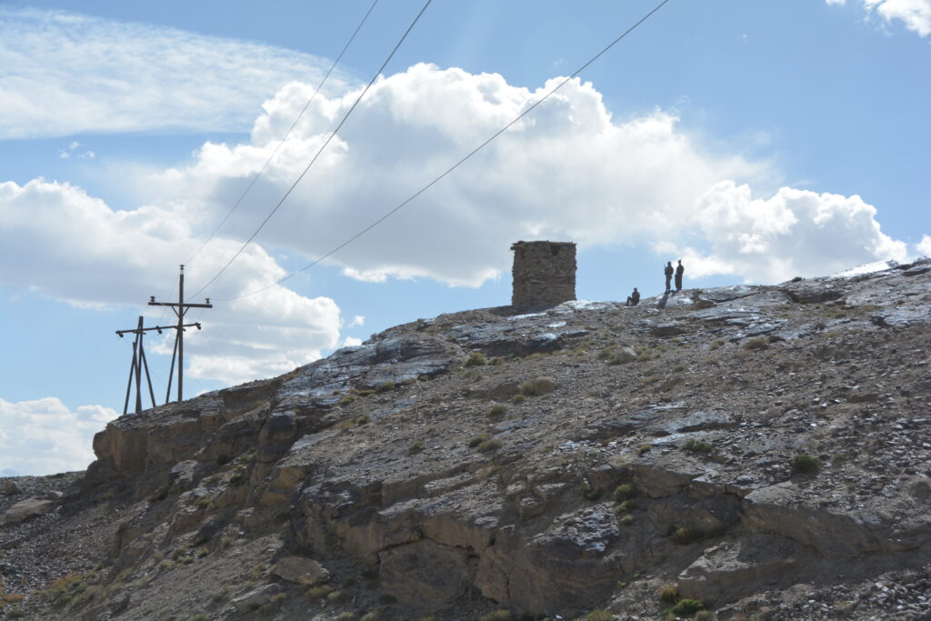
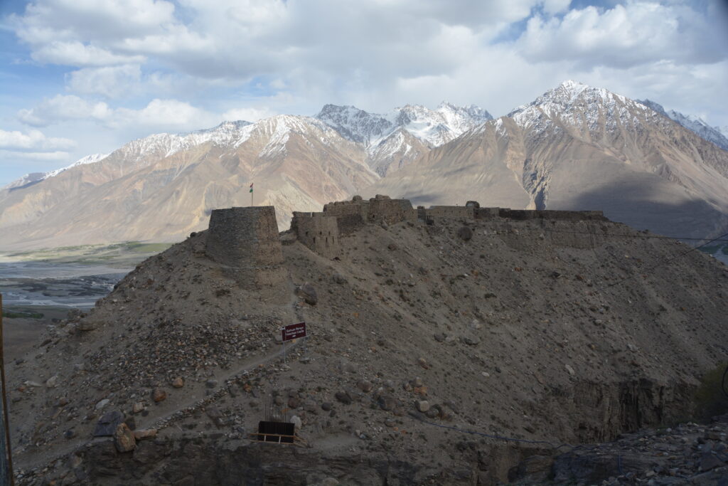
At one stage we veered left and up a steep track which switchbacked a further 300 metres in vertical climb to an even older fortress, admittedly with significant reconstruction activity, perched on a near vertical cliff overlooking the valley below. Very cool.
After a long and dusty day what we really needed was a hot soak which is lucky because Omar and Daniel took us to a local hot springs where we separated by sexes, each to their own beautiful hot bath. And as a special Tajik twist, the girls wore their cossies as they soaked in a small pool while the boys got all their gear off and soaked in a cave-like overhang with the water coming down the rocks. Great stuff but no pictures of the hot springs (lucky for you).
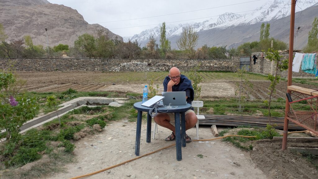
We trucked another hour before reaching the village of Langar where we set up in our homestay for the night. This was a basic but very cosy place with the family serving us both dinner and breakfast while Dave set up his Star Link – how have we ever lived without it? – and we soaked in these wonderful snow-capped mountains all around us.
The Pamir Highway has been an absolutely stunning travel experience so far but tomorrow we leave the river and head up into the Pamir Mountains. Can’t wait.
I’ve really enjoyed reading this blog, thank you for putting so much time into sharing your experiences! I will definitely be saving this for my trip next year.
I had a couple of questions.
Unfortunately, logistically it’s not ideal for me to travel during the dry season, so I’m looking at travelling through the Pamirs mid April. What time of the year did you travel?
Would you mind sharing the contact details of the company who arranged your guide (if you recommend them!).
Thank you so much
Daniel
Hi Daniel, I’m sure you’ll love the Pamir – it was a once in a lifetime travel experience. We travelled in early May but I think mid-April will be fine. It will be cooler but there will be more snow on the mountains and the rivers might be higher. The company we used for the Pamir Highway was called East Pamir (https://www.eastpamir.com/). Our main driver was Omar – he was excellent! Highly recommended. We booked the trip through Visit Alay, I think they are sort of a Tajikistan travel bureau (www.visitalay.com). Good luck and enjoy!!
Great content, thank you for sharing. me and a mate planning Central Asia next April/ May.Dushanbe to Ash on Pamir Highway…. loved the info & pictures you supplied. May I ask, ?? no problems with dietary/ gut disturbances ( diarrhoea etc) ive got a steel constitution usually but just wondering?
where do you head after Osh, this will be near end of my journey and heading back to Queensland ,
Thanks Deb for your message. We thought the Pamir Highway was the highlight of our trip through Central Asia and I’m sure you’ll enjoy it.
We found the food in that region a little bland and boring, to be honest, but we never had any dietary or tummy problems. Osh is conveniently located right in the middle of Central Asia so from there you can go just about anywhere. We headed to Tashkent and explored Uzbekistan after Osh. Good luck!
Hi Deb,
Out of interest, is this still a trip your planning for next April? I’d be super keen to connect and share plans. My main concern is the weather.
Thanks
Daniel
Hi Daniel, best to contact Deb directly.